Tuesday, March 10, 1998
|
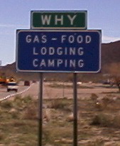
| Today we decided to go to Organ Pipe National Monument. It
was about a three hour car ride from Lake Pleasant to the Mexico border (almost). On
the way there we passed through a town named... |
|
|
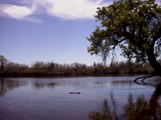
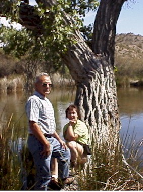
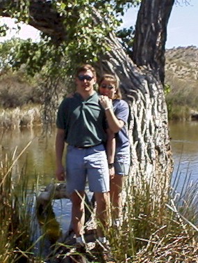
| We arrived at the monument about 10:00 a.m. The parents
wanted to first show us an oasis in the desert. It is called Quitobaquito (Chris
keeps calling it Mosquito Burrito). Basicly there is a large man-made pond that is
fed by a natural spring. |
|
|
|
|
|
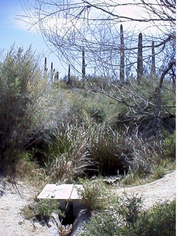 |
| This is the outlet of that natural spring. |
|
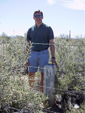
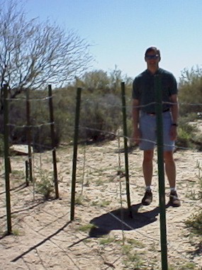
| When we were walking back to the truck from Quitobaquito, we ended
up walking along the border. The U.S. and Mexico, at this point, are seperated from
each other by a wire fence. Chris did find a convienent opening and stood on Mexican
soil illegally. The border was also marked by a stone column with Mexico etched on
one side and United States on the other. |
|
|
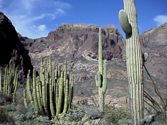
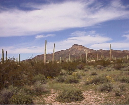
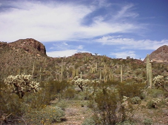
| We wound up the rest of the day by taking the Ajo Mountain drive.
It is a loop road about 21 miles long. There are 22 stops along the way that
explain different plants and features of the area. Here is some of what we saw... |
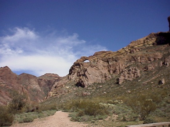 |
| Natural arch in Arch Canyon. 36 ft high, 90 ft
wide, 720 ft above the road |
|
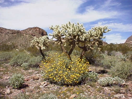 |
| Chain-fruit cholla. Often called "jumping cactus" |
|
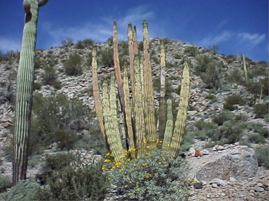 |
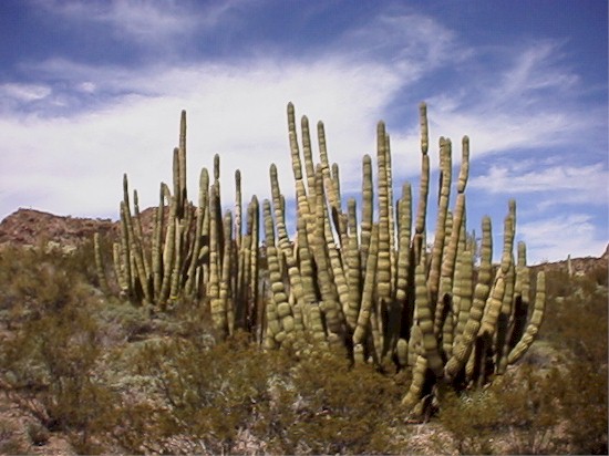
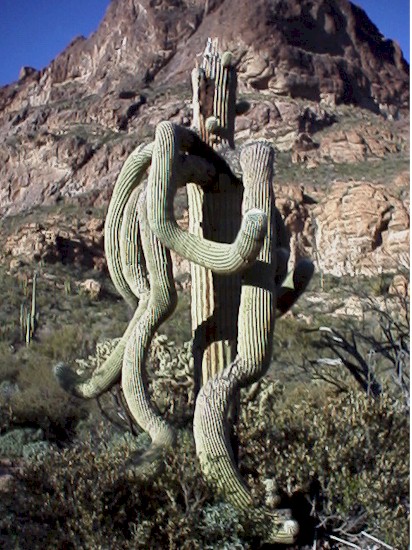
| Organ Pipe Cactus. Grows mainly withing Organ
Pipe National Monument. |
|
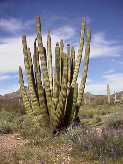 |
| More organ pipe with flowers for Joanne. |
|
|
|
 |
| This one is just a baby. |
|
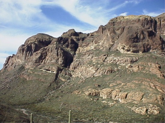
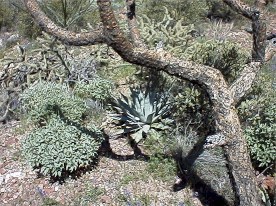
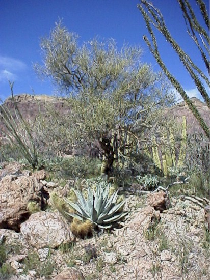
| Along the Ajo Mountain Drive we stopped and decided to go on a
hike. The place we stopped is called Estes Canyon. We hiked a trail that took
us about 800 feet up into the Ajo Mountains. The destination was Bull Pasture which
was used by early ranchers for their cattle (we are really suspicous of this information
since it was a difficult hike and we can't see cows making it up there). The
following are pictures from the hike. |
|
|
|
|
|
|
|
|
|
|
|
|
|
|