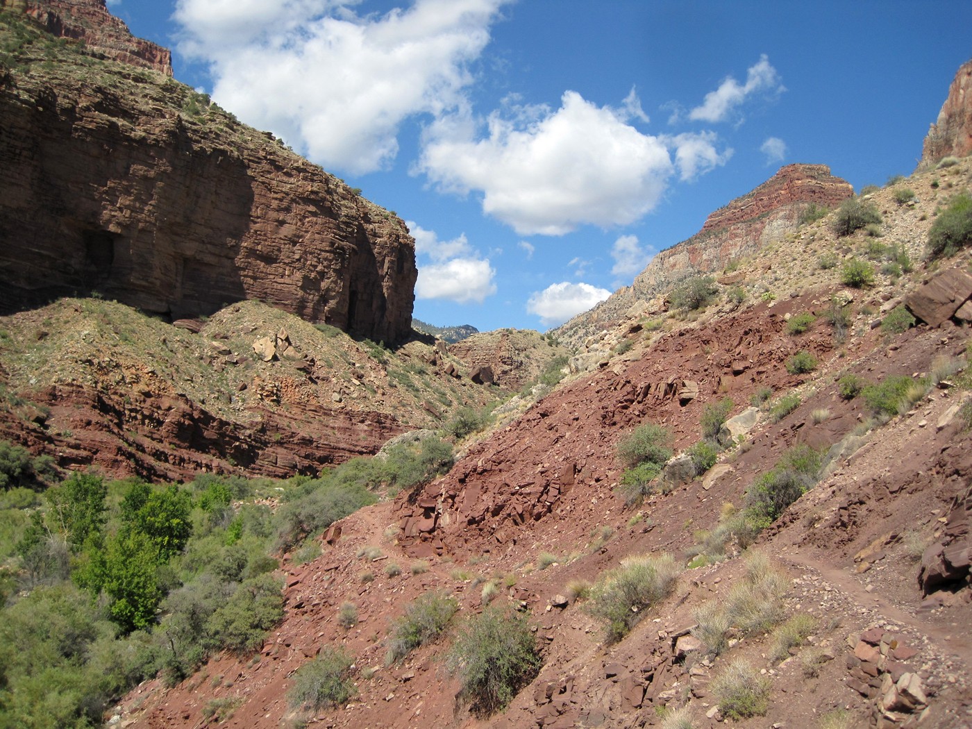
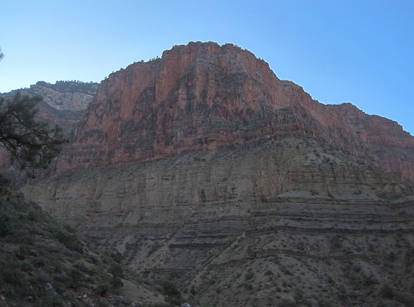
Leaving Cottonwood campground, the trails starts climbing in elevation.
| Grand Canyon Hiking - September 2011 - page 2 |
| At this point we are about 14 miles into the hike (two-thirds complete), it is around 2:00 p.m. We rest with the group and head out for the North Rim. |
Leaving Cottonwood campground, the trails starts
climbing in elevation.
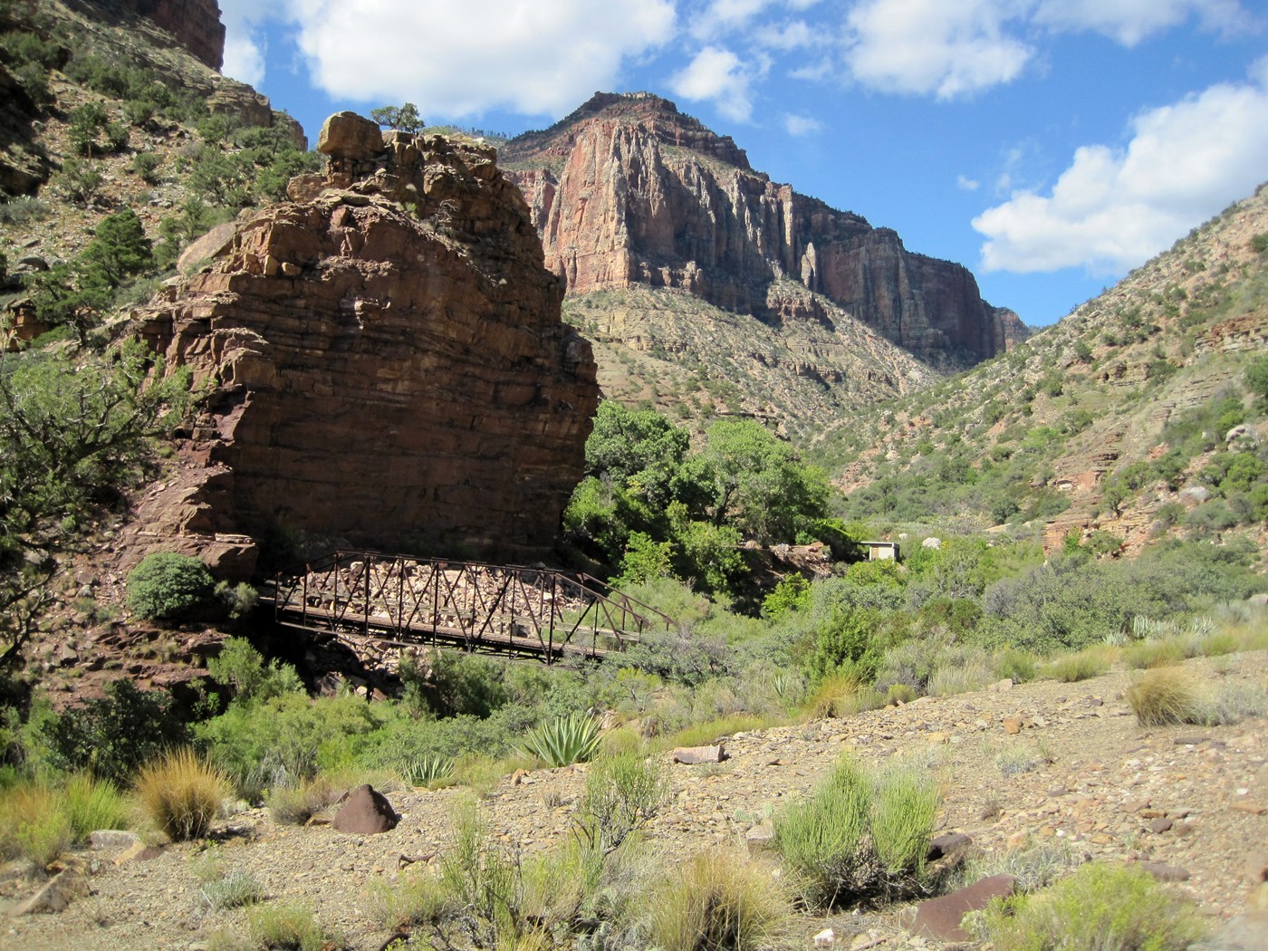
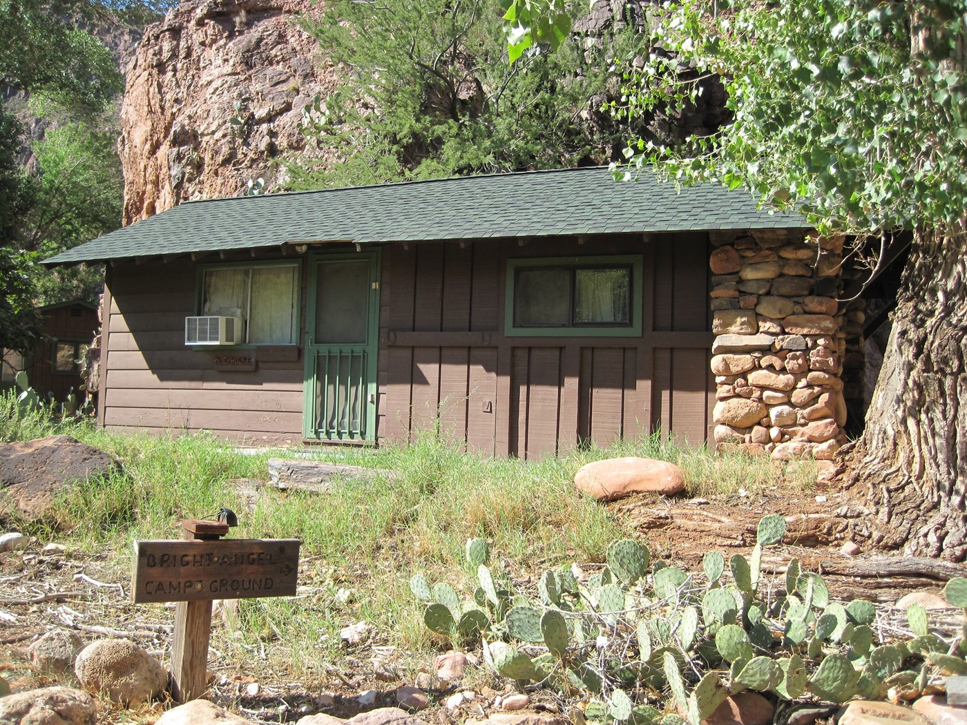
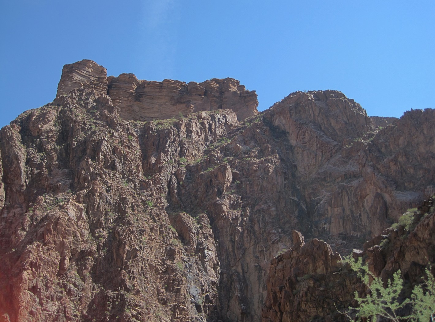
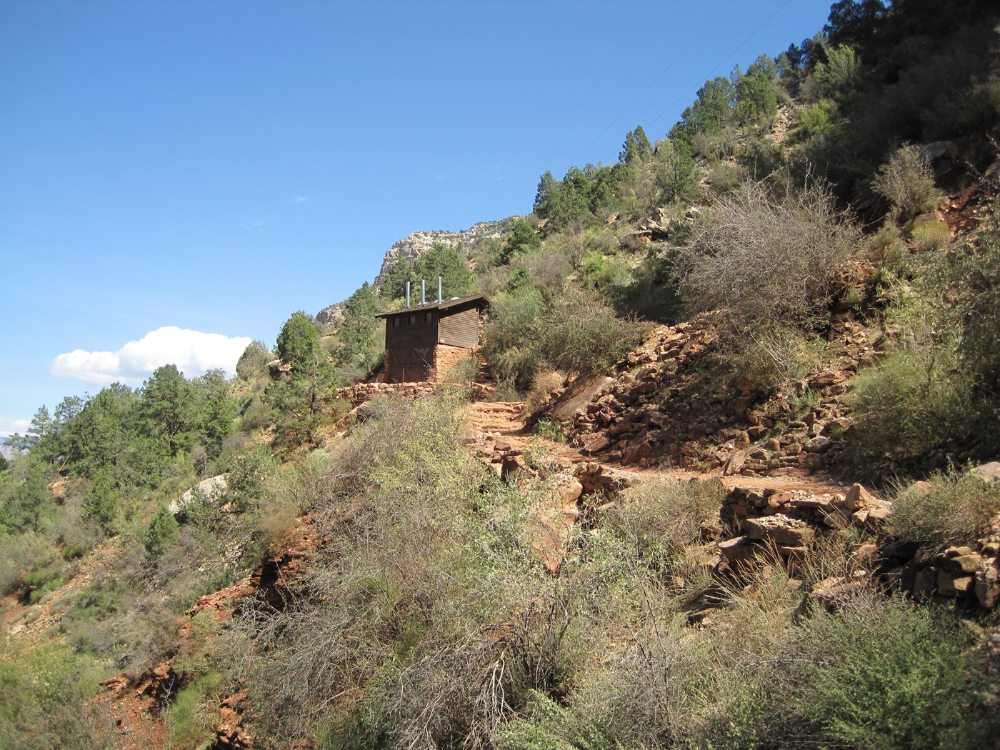
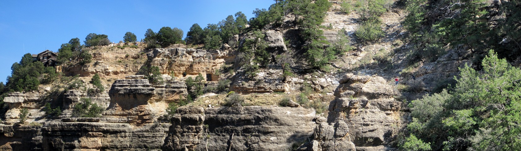
Approaching the Pump House Residence
The Pump House Residence
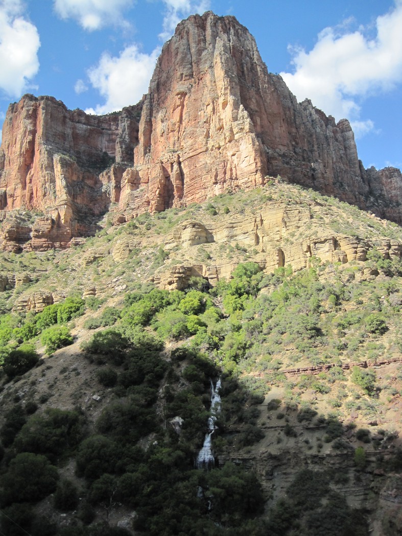
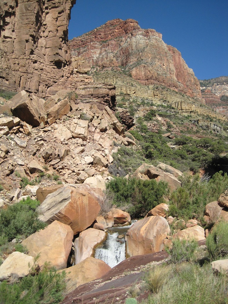
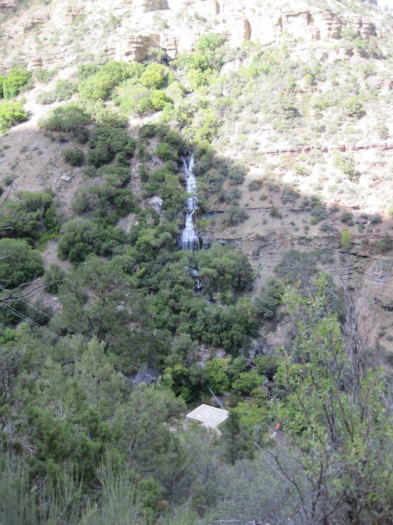
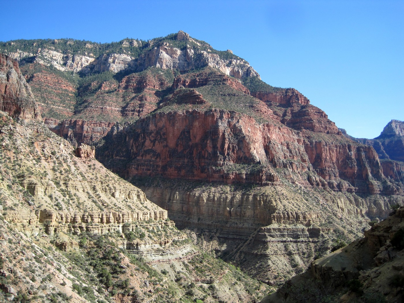
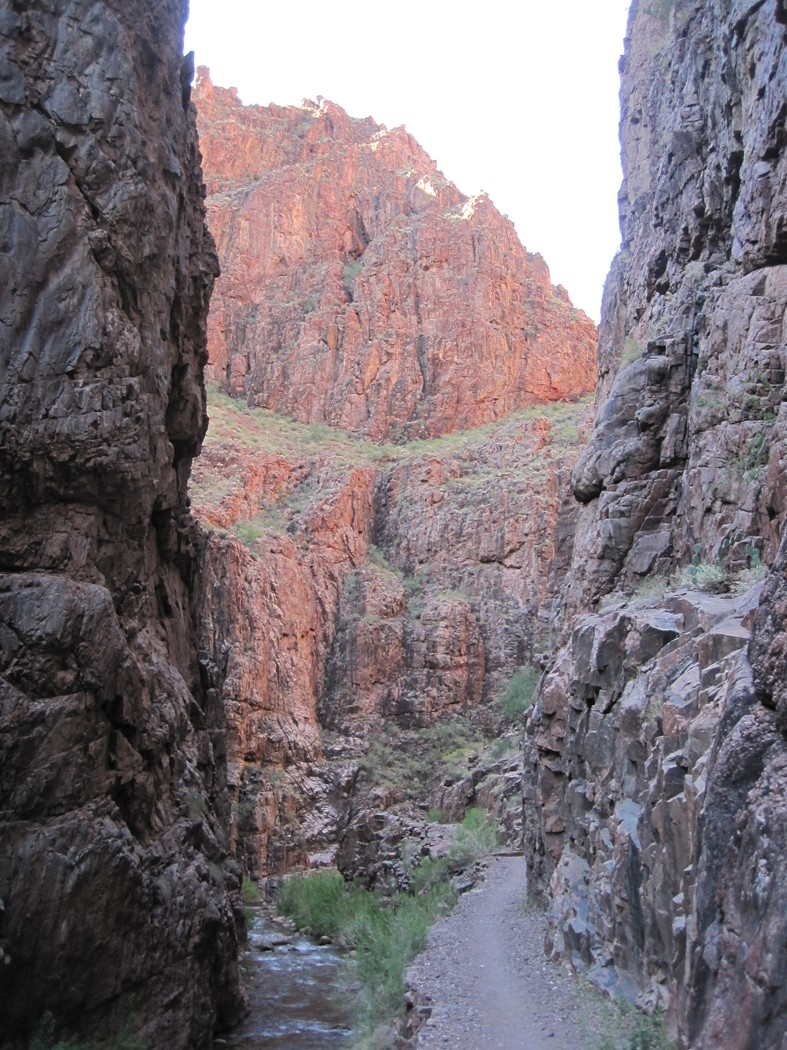
This is Roaring Springs, the source of water for
the South Rim. There is a pipeline from the here to the South Rim.
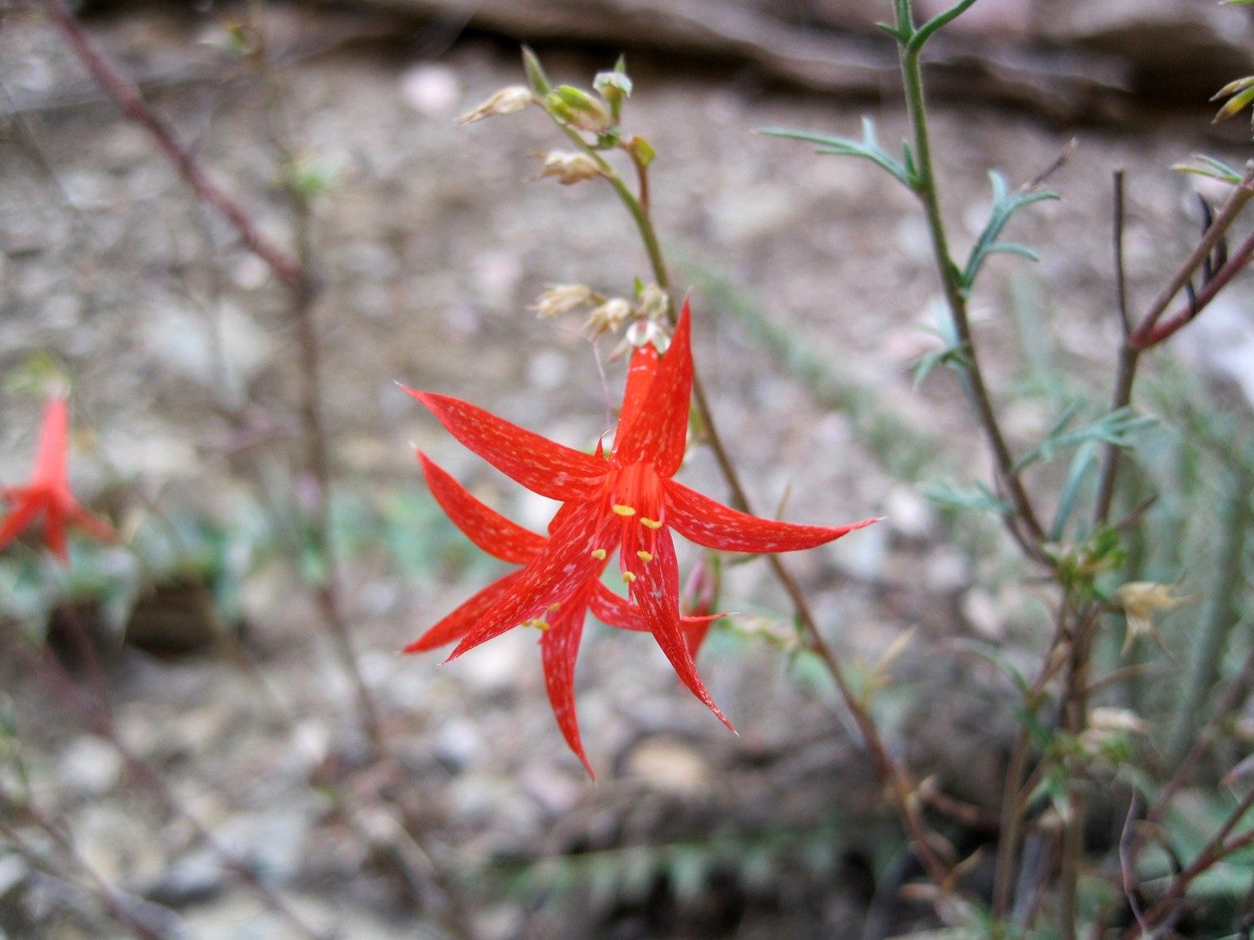
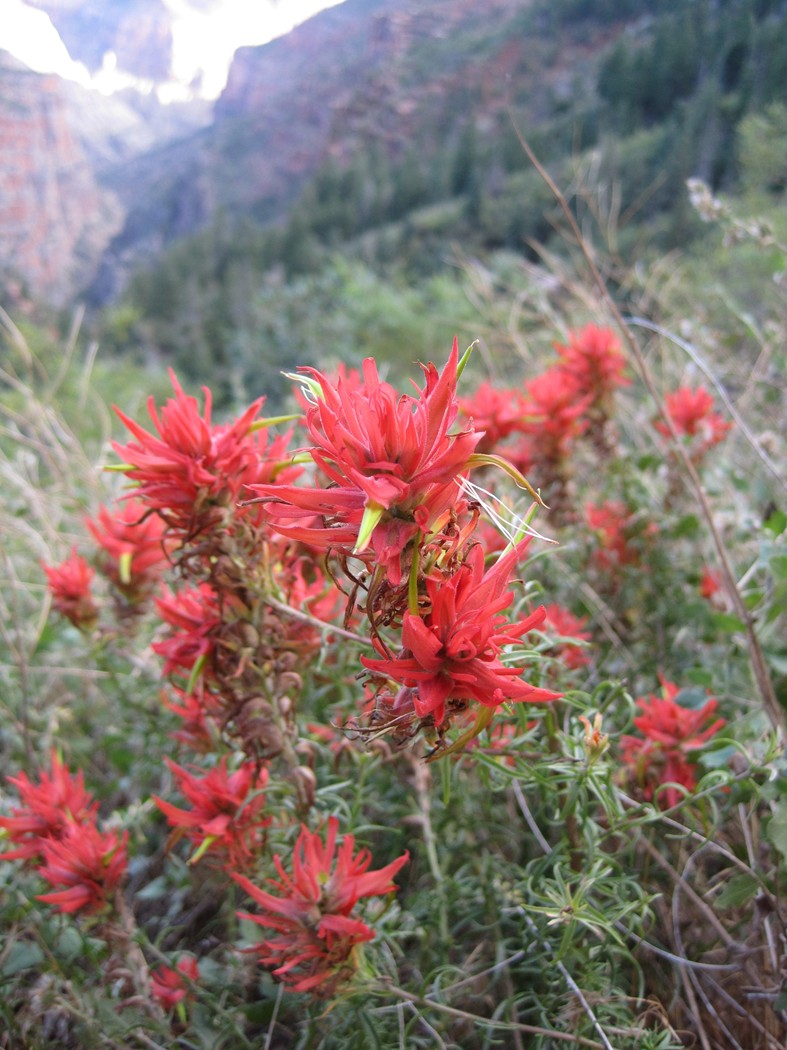
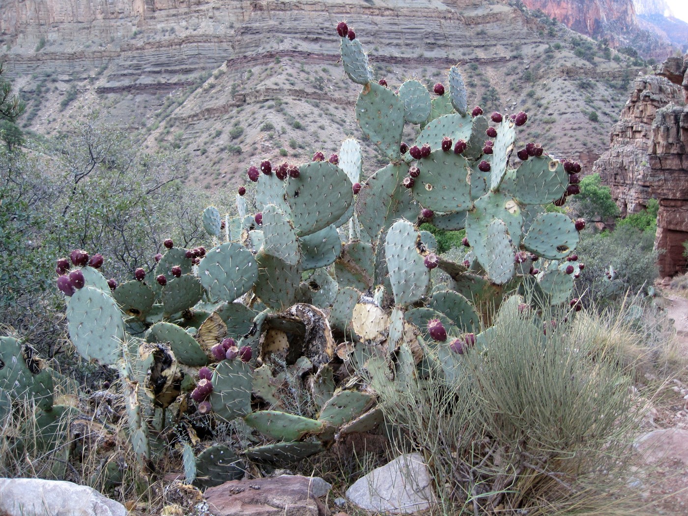
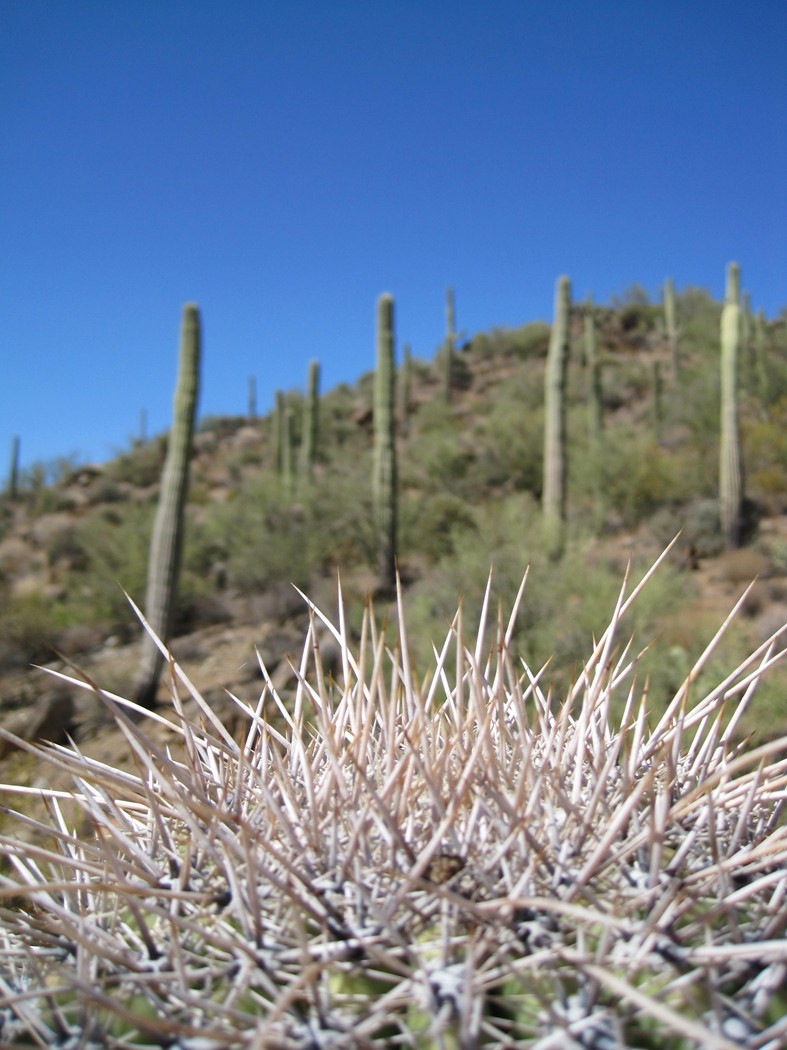
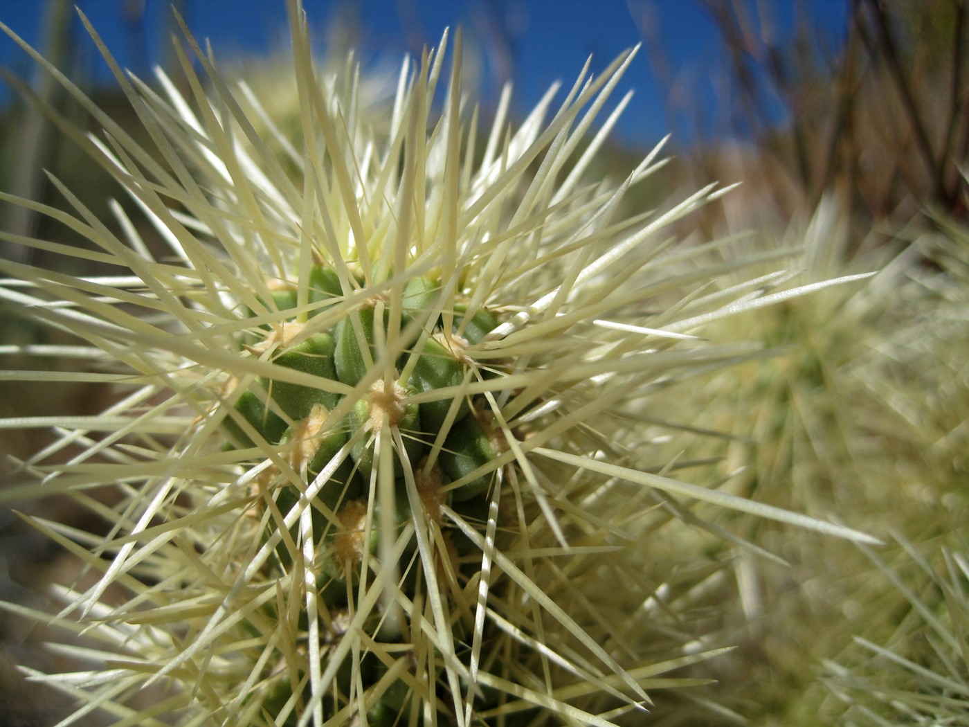
Scarlet Gilia
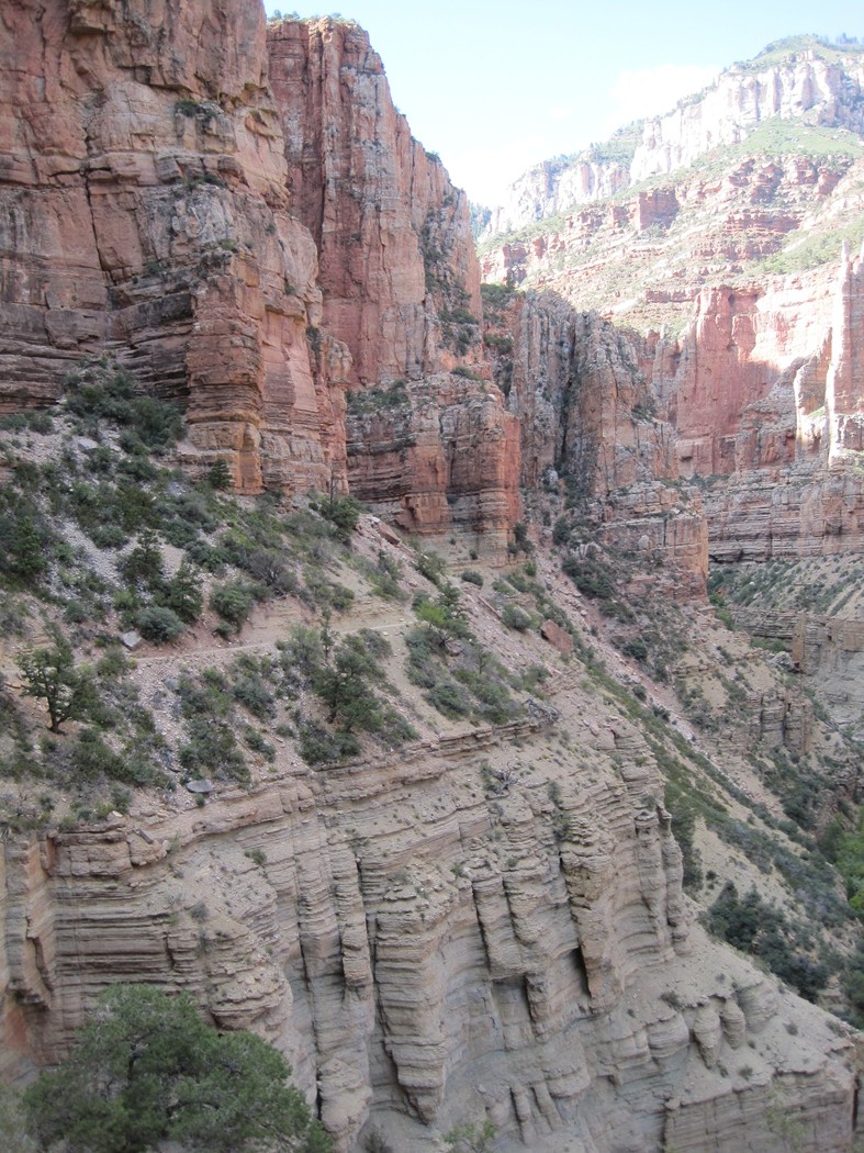
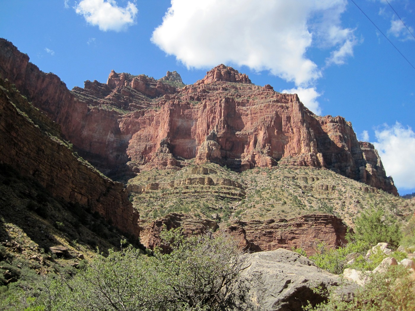
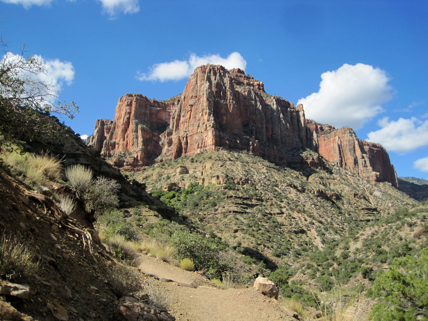
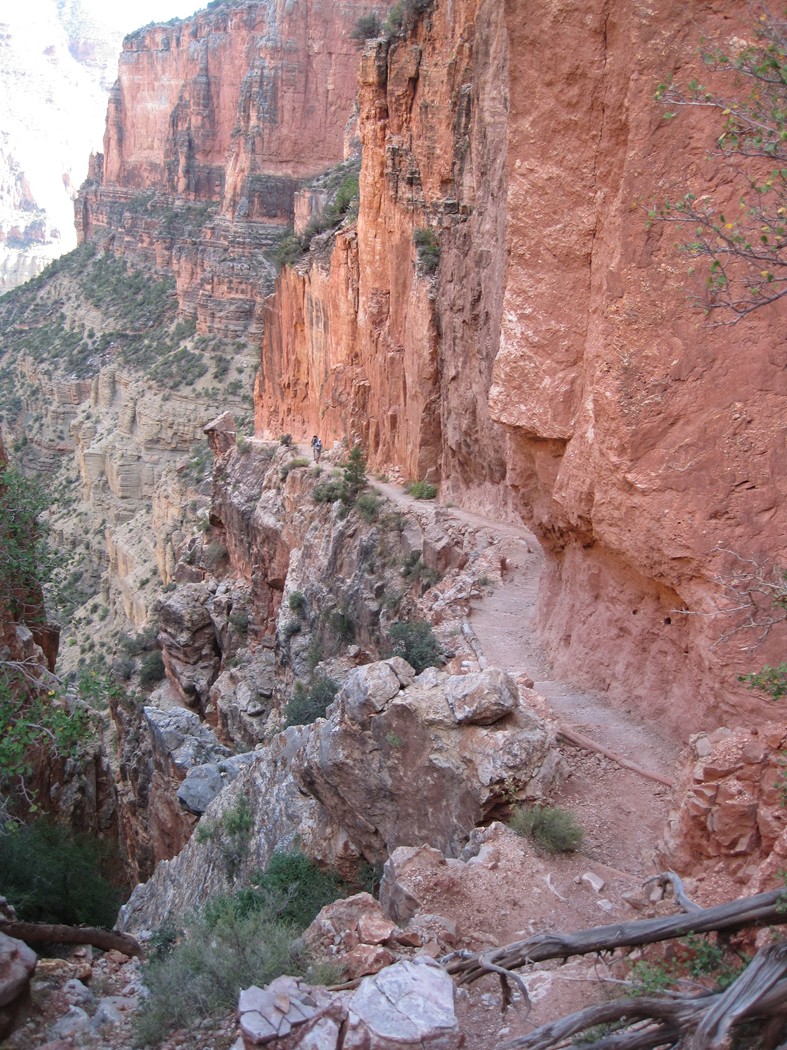
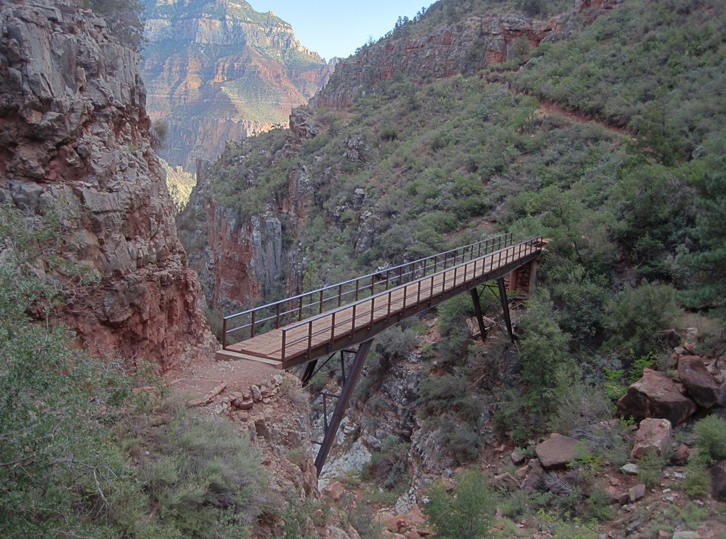
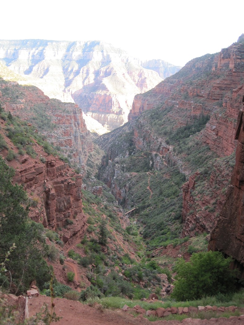
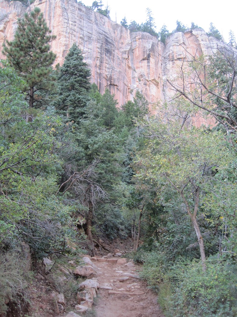
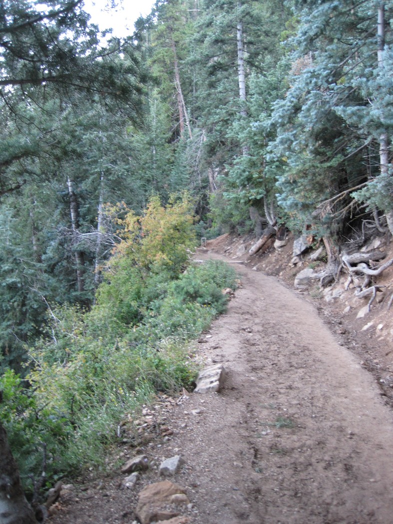
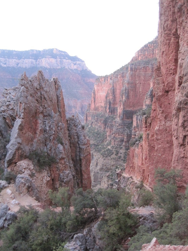
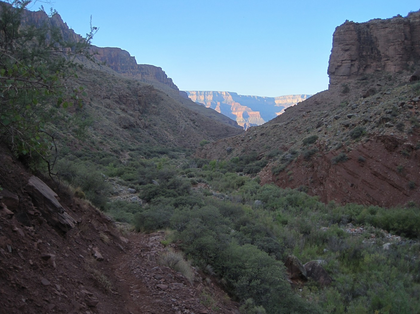
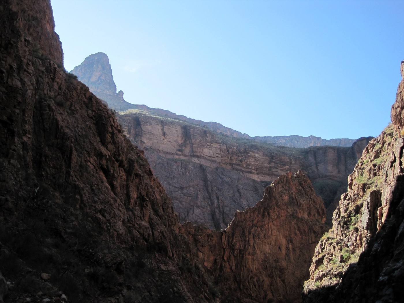
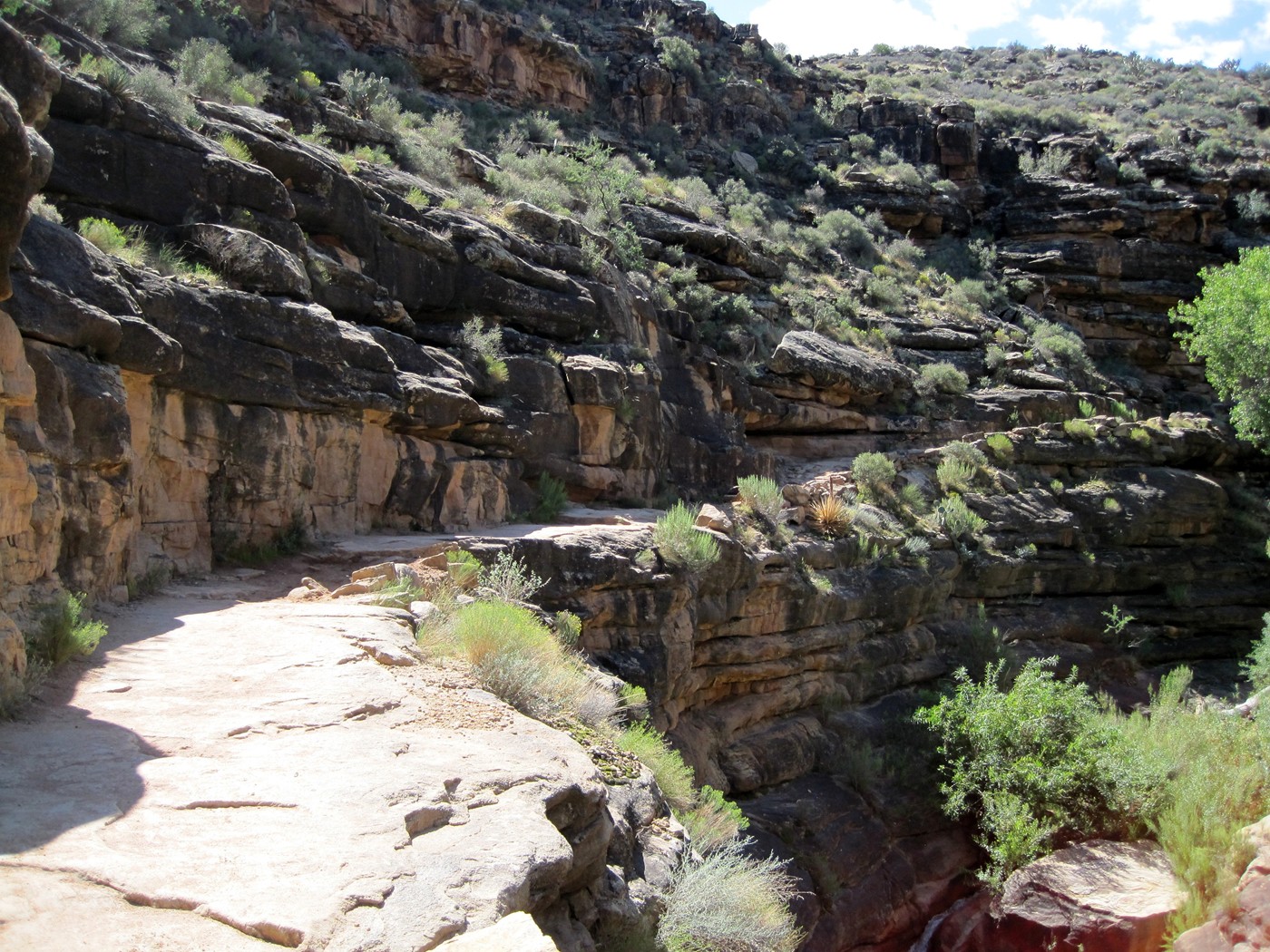
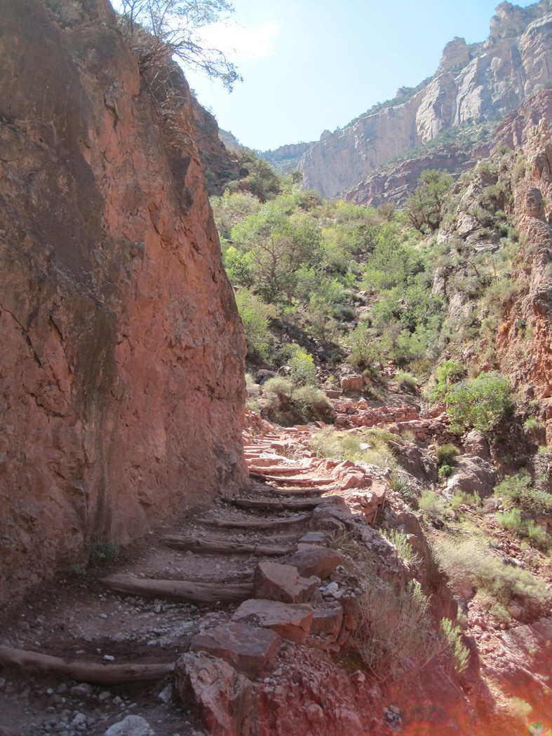
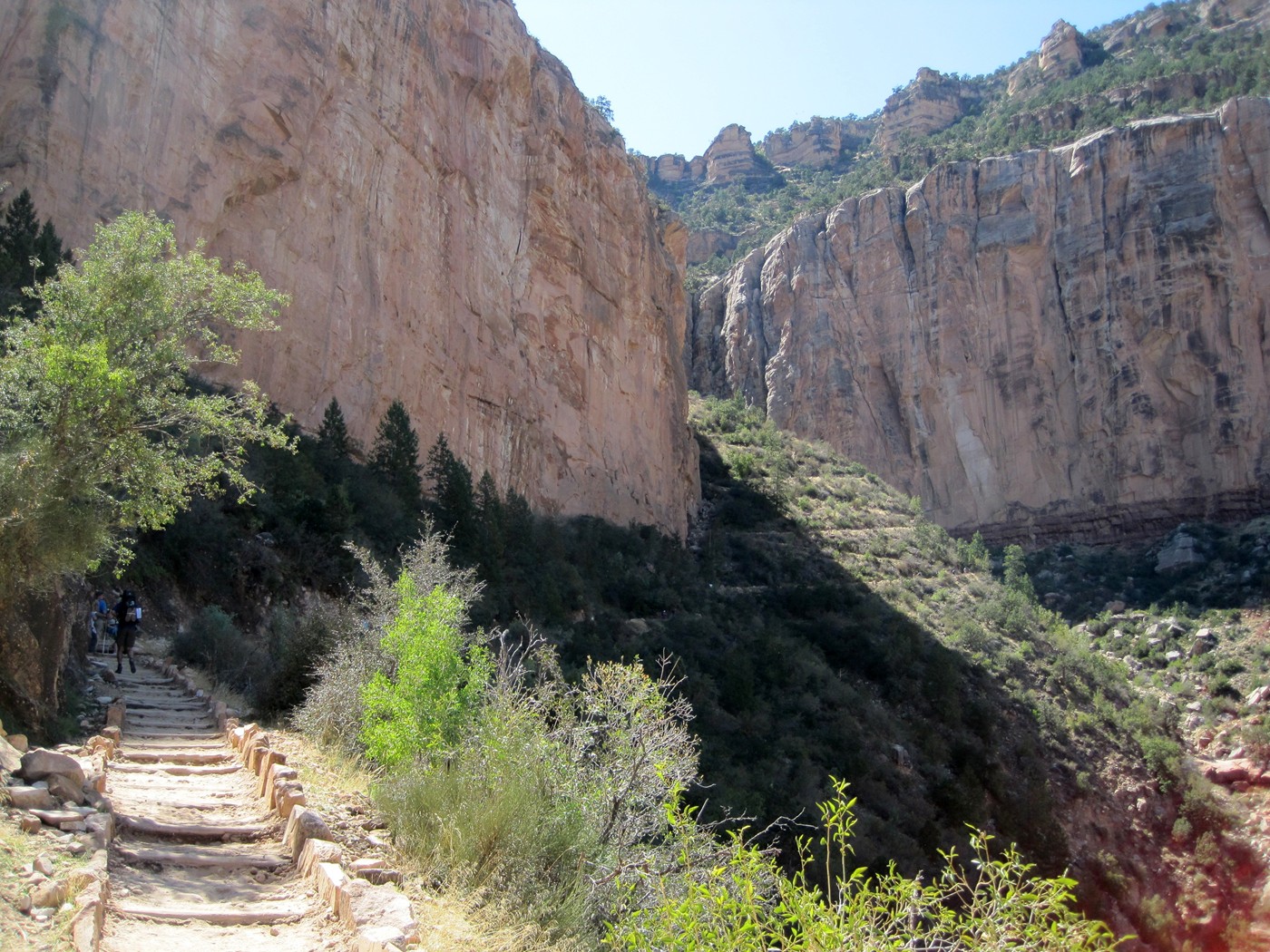
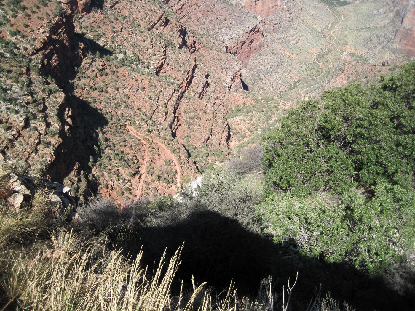
The trail starts to get very scenic and some
exposure is yet to come.
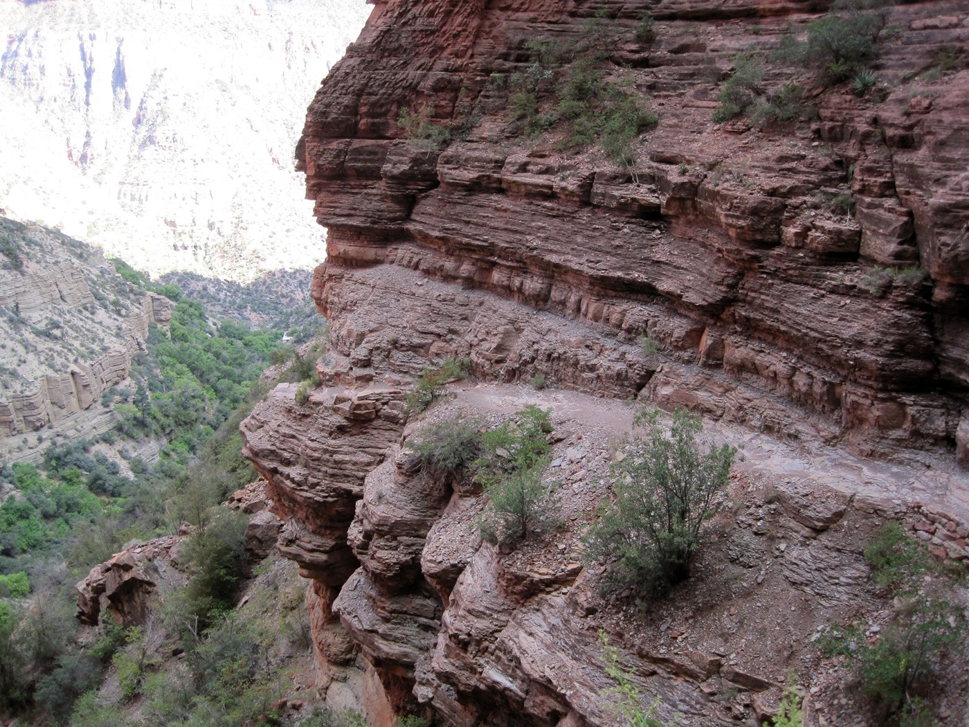
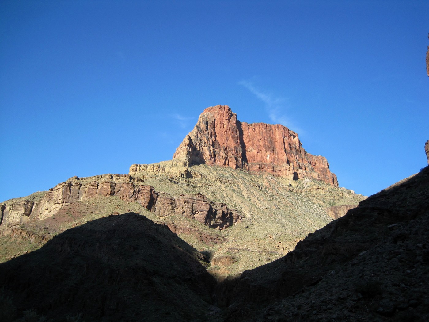
Awesome look back at the trail.
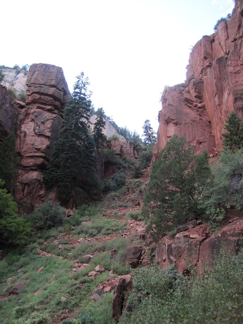
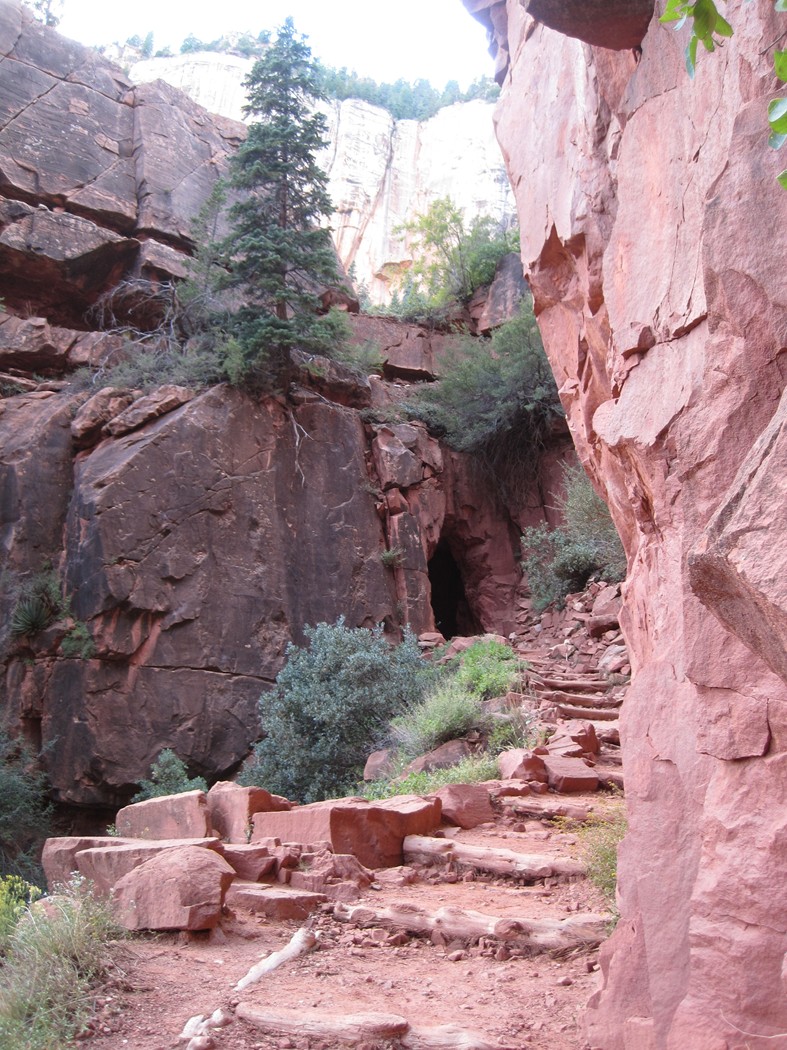
The final switchback before the Supai Tunnel
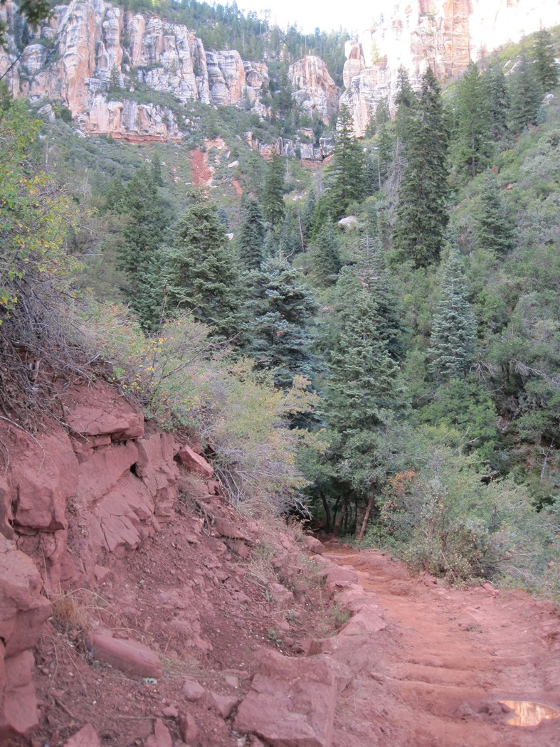
Passing through the Supai tunnel took us to a
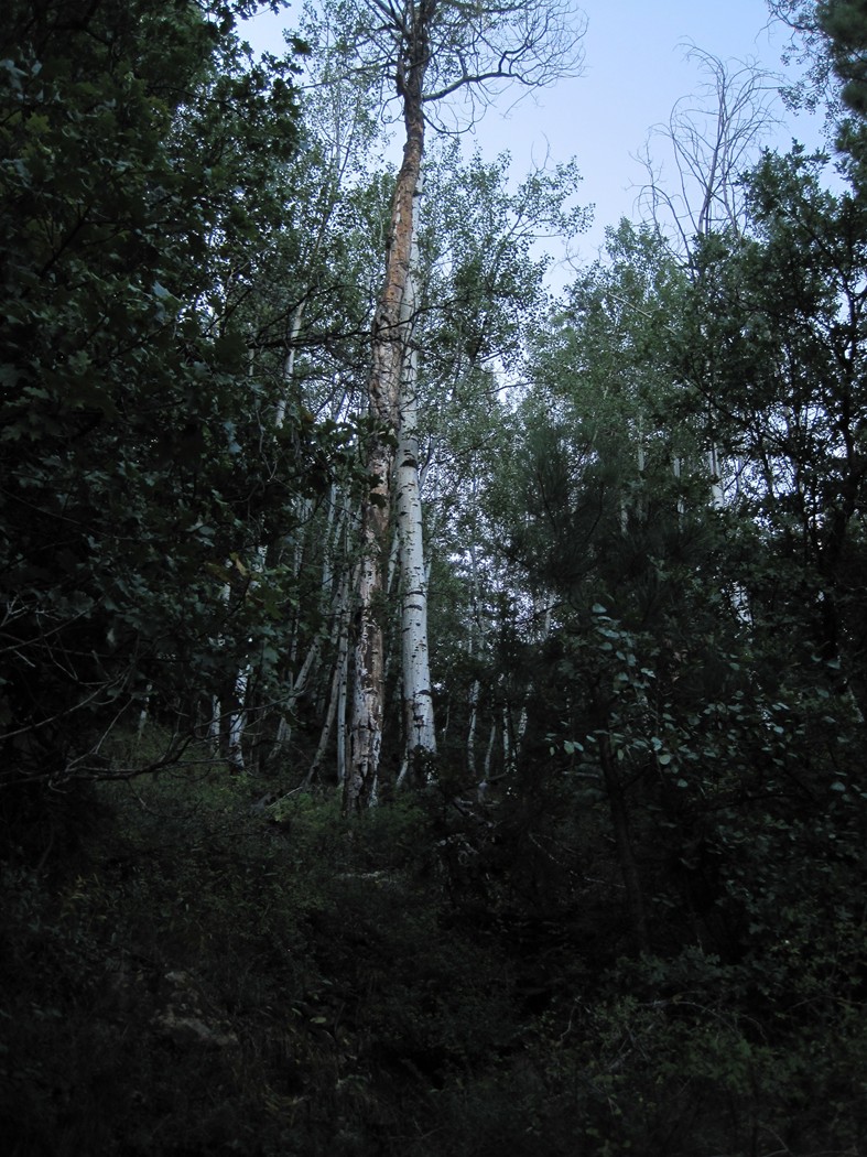
totally different climate, suddenly we were in a spruce and pine forest.
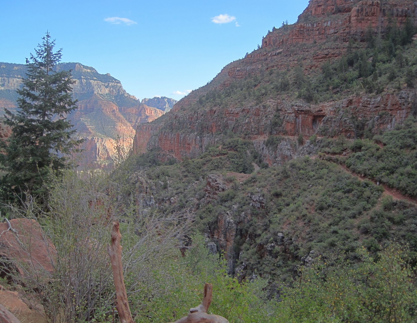
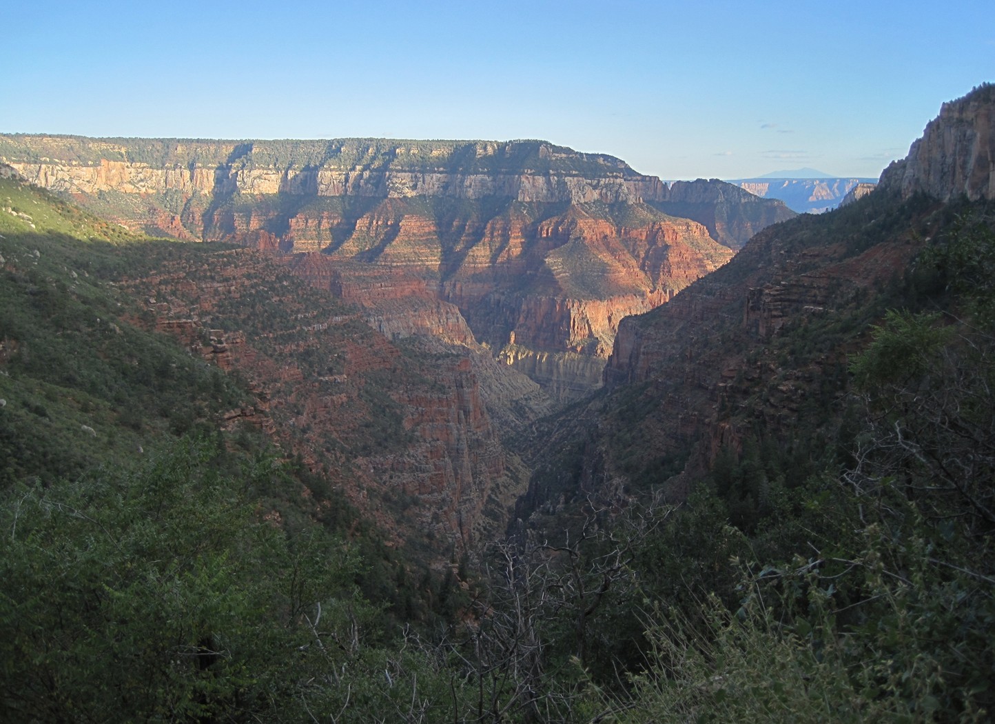
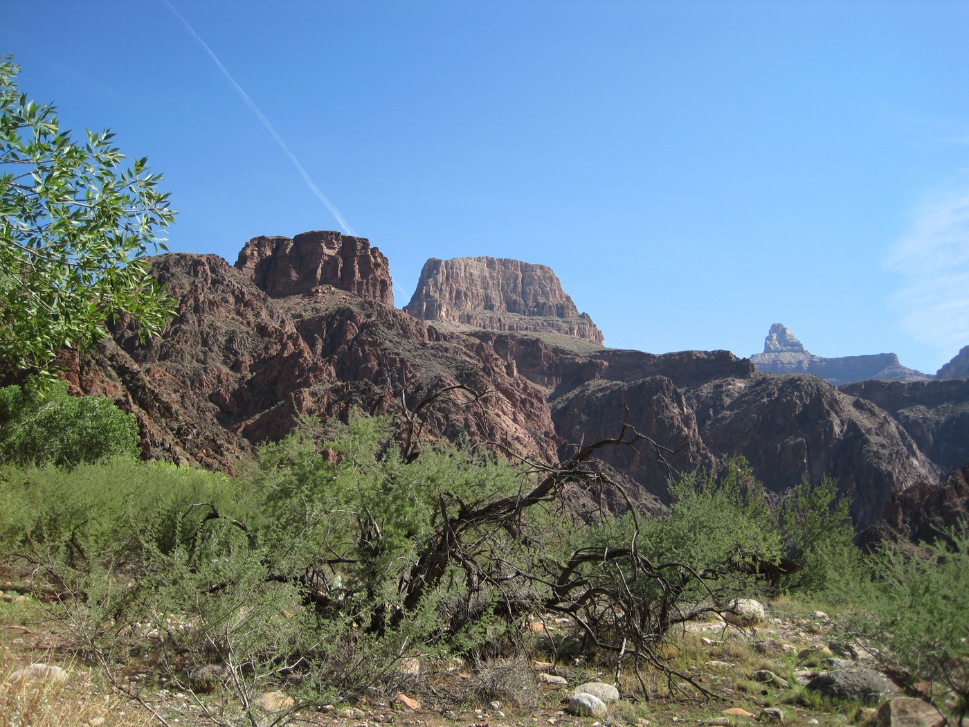
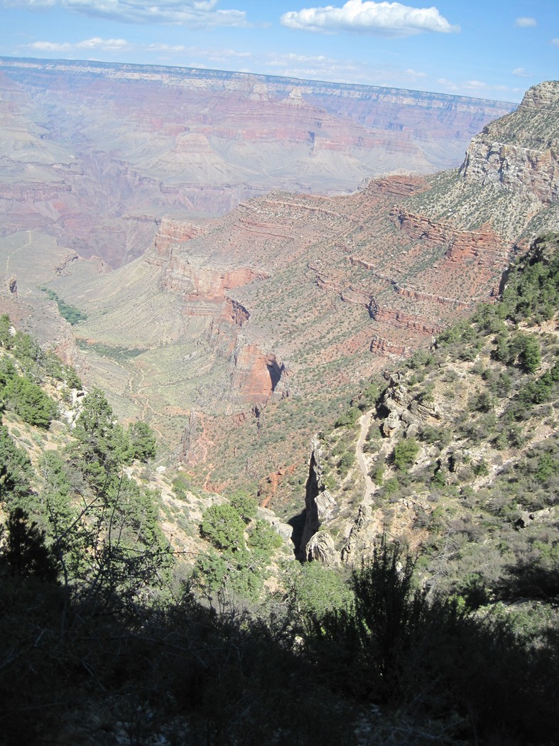
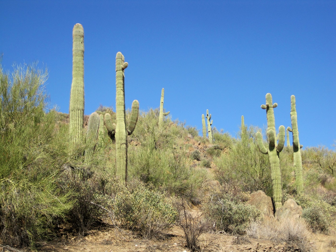
Does this look like the Grand Canyon?
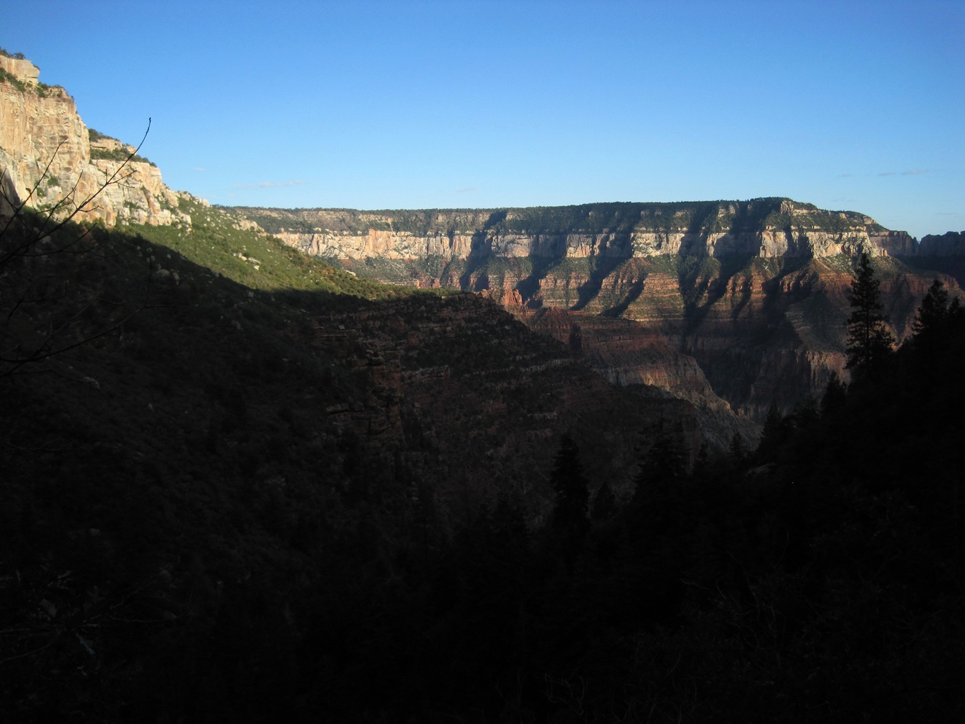
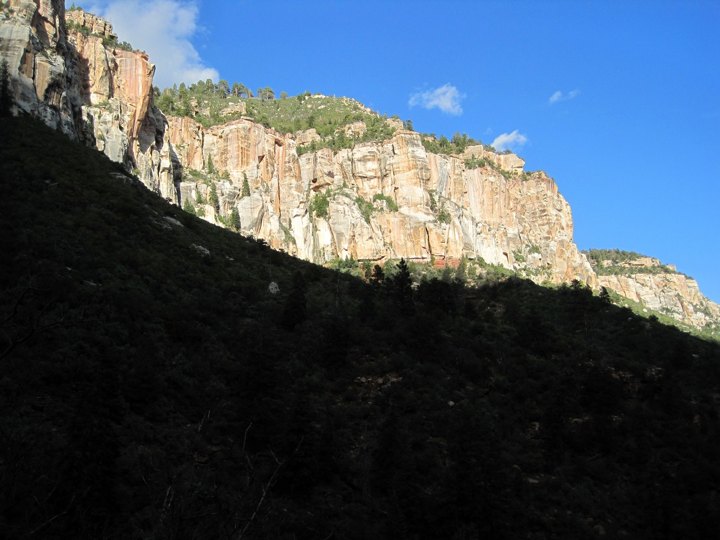
Turn around and look down valley and then you are
reminded of the Grand Canyon.
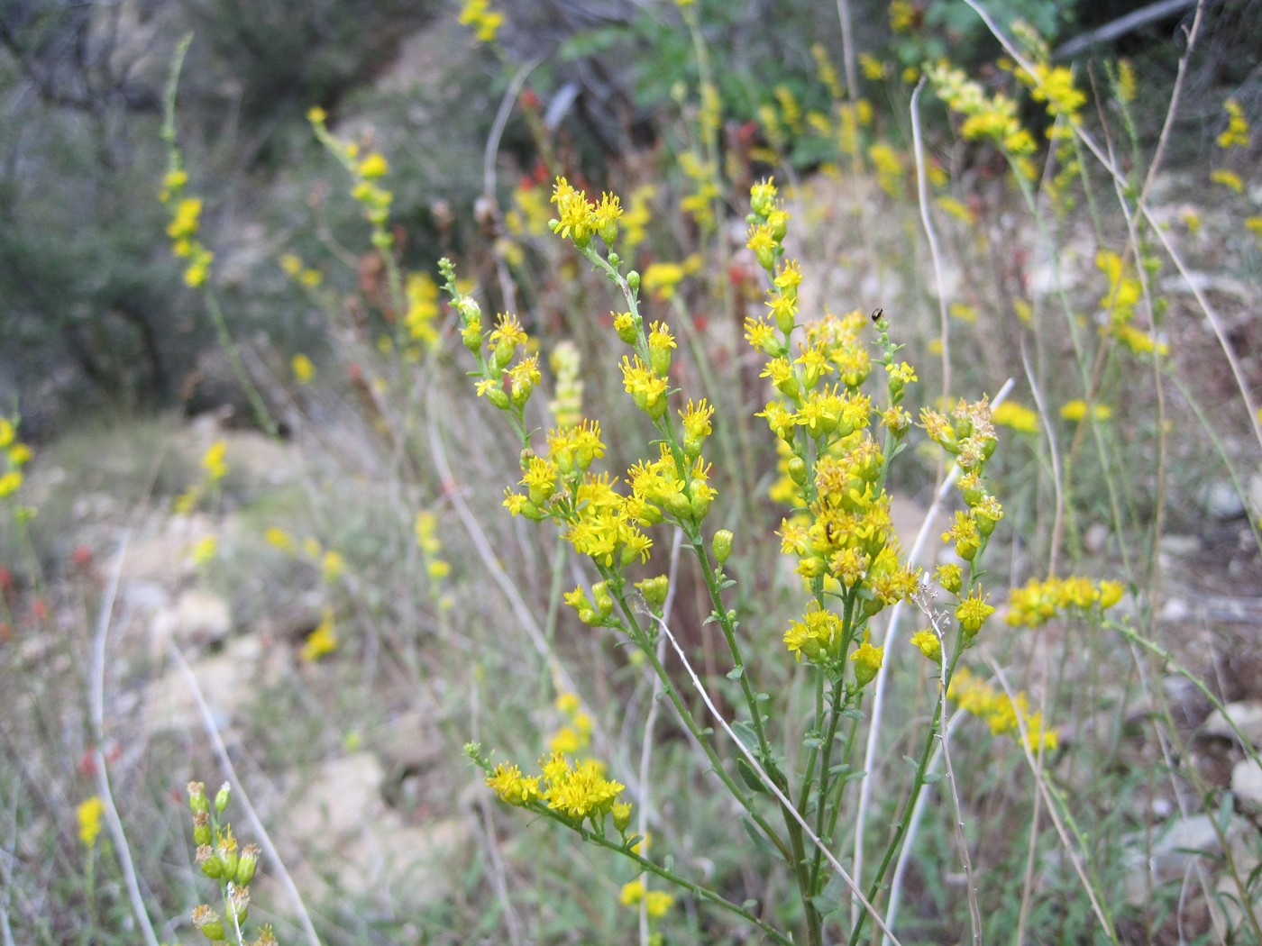
Wholeleaf Indian Paintbrush
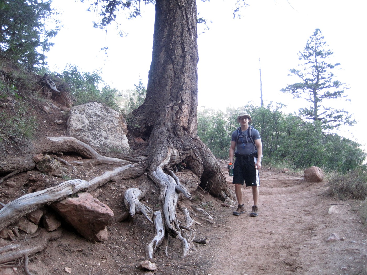
Big tree!
| We made it to the North Rim Trailhead in 12 hours and 48 minutes. |
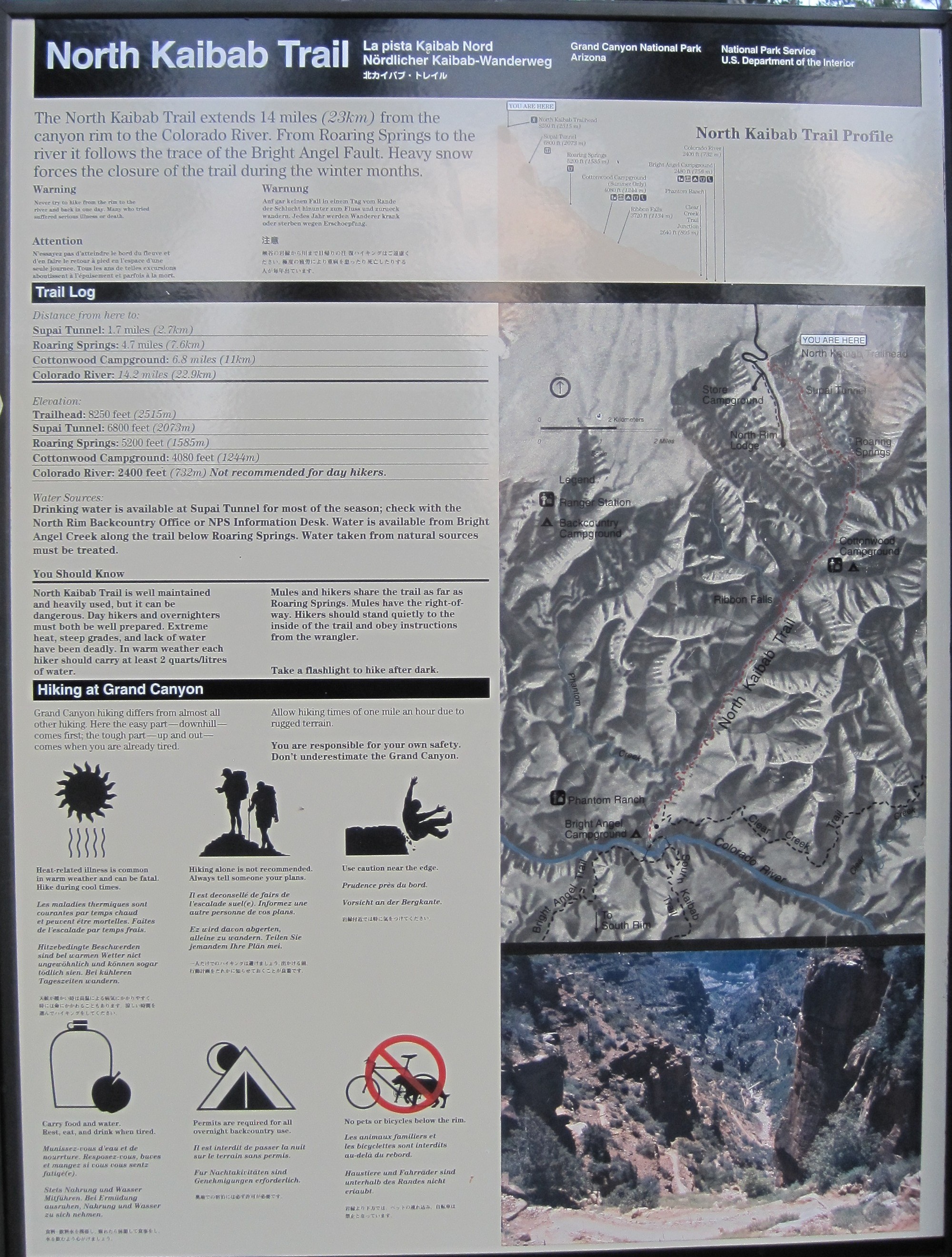
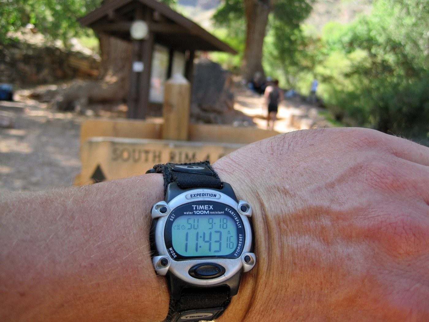
| Sunday - North Kaibab trail to Bright Angel Trail - destination; South Rim (23.7 miles) |
| We started around 4:40am on Sunday with 6 hikers, 4 less than Saturday. Chris W. "unleashed" me as he said it which meant I could hike at my own pace. Nathan joined me and we quickly made it to Supai Tunnel before sunrise. A lot of the photos in the first part of the hike look exactly the same, so I am only posting files of interest. |
On the trail minutes after being dropped at the
trailhead by Dennis, thanks for getting up early! Starting temperature was
43°F
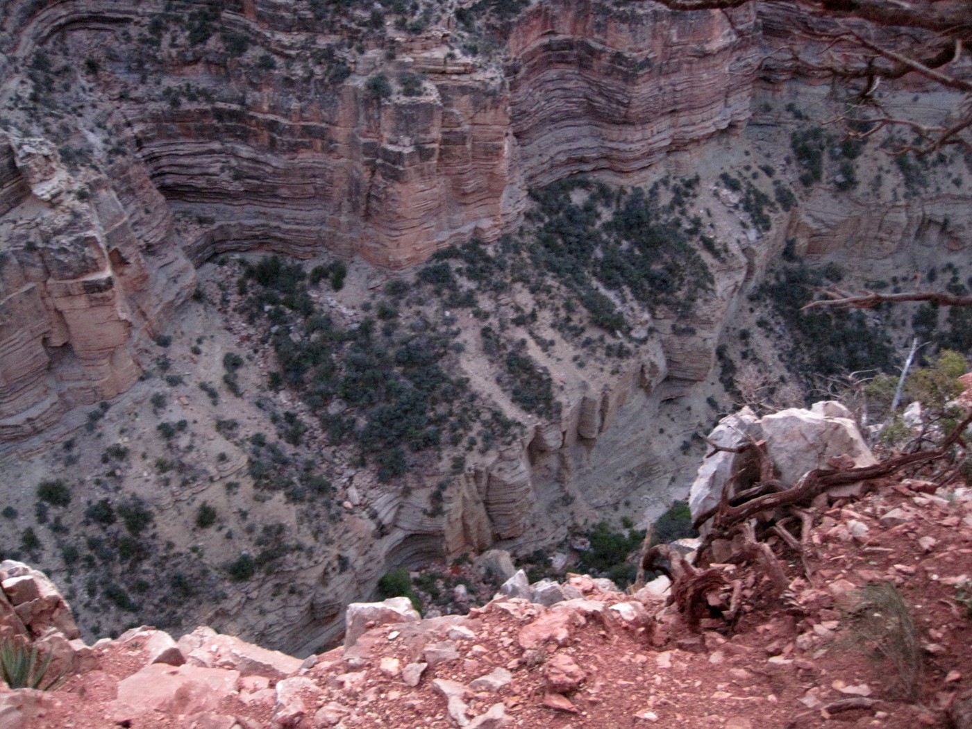
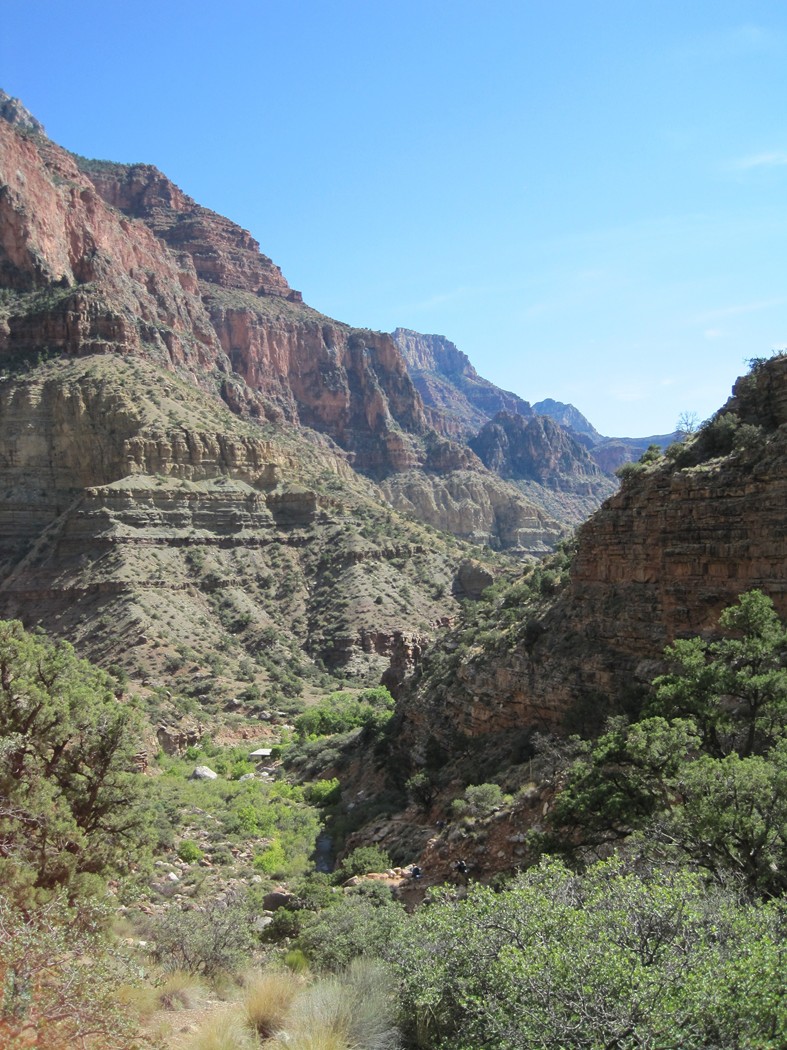
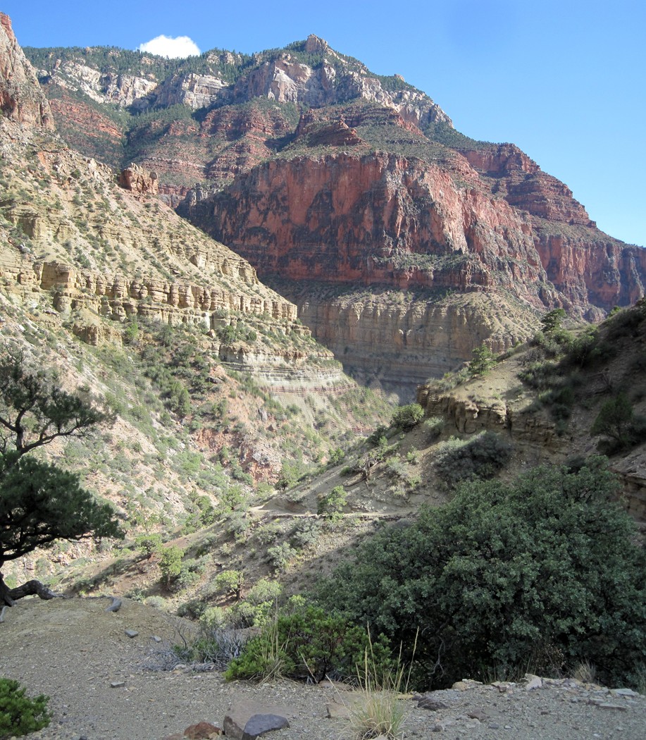
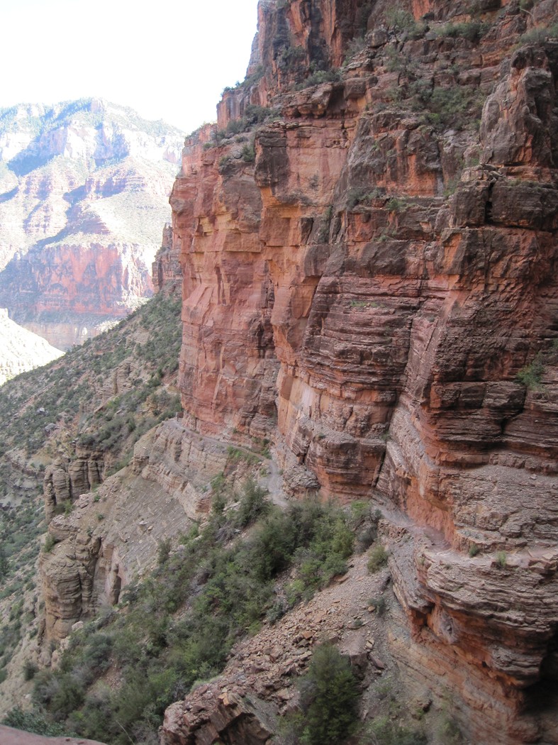
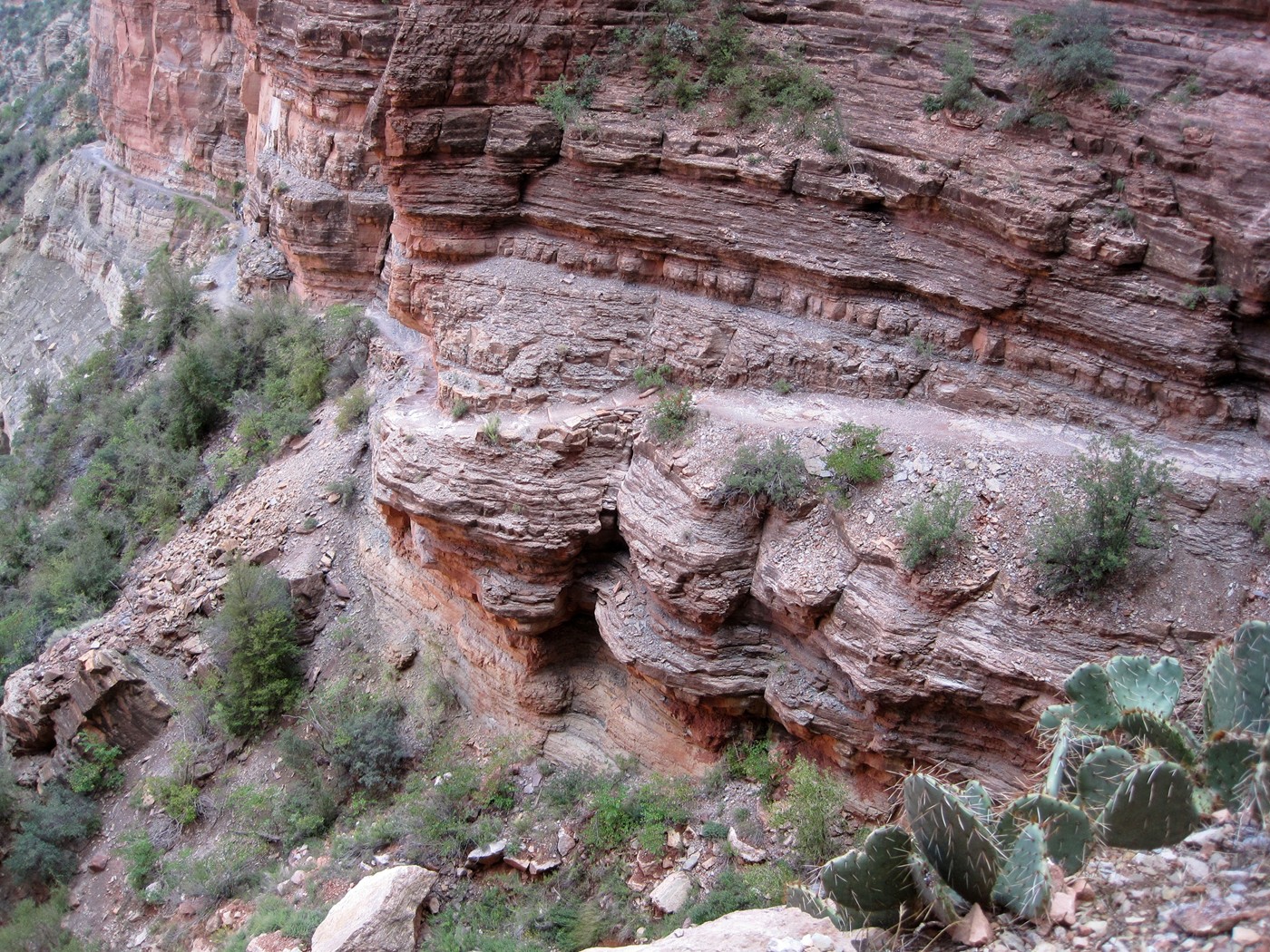
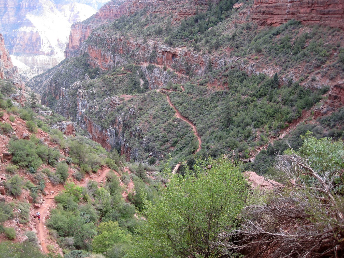
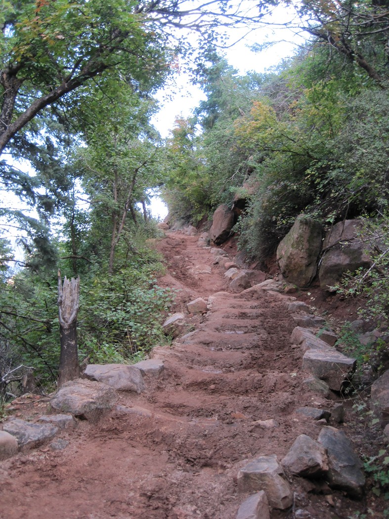
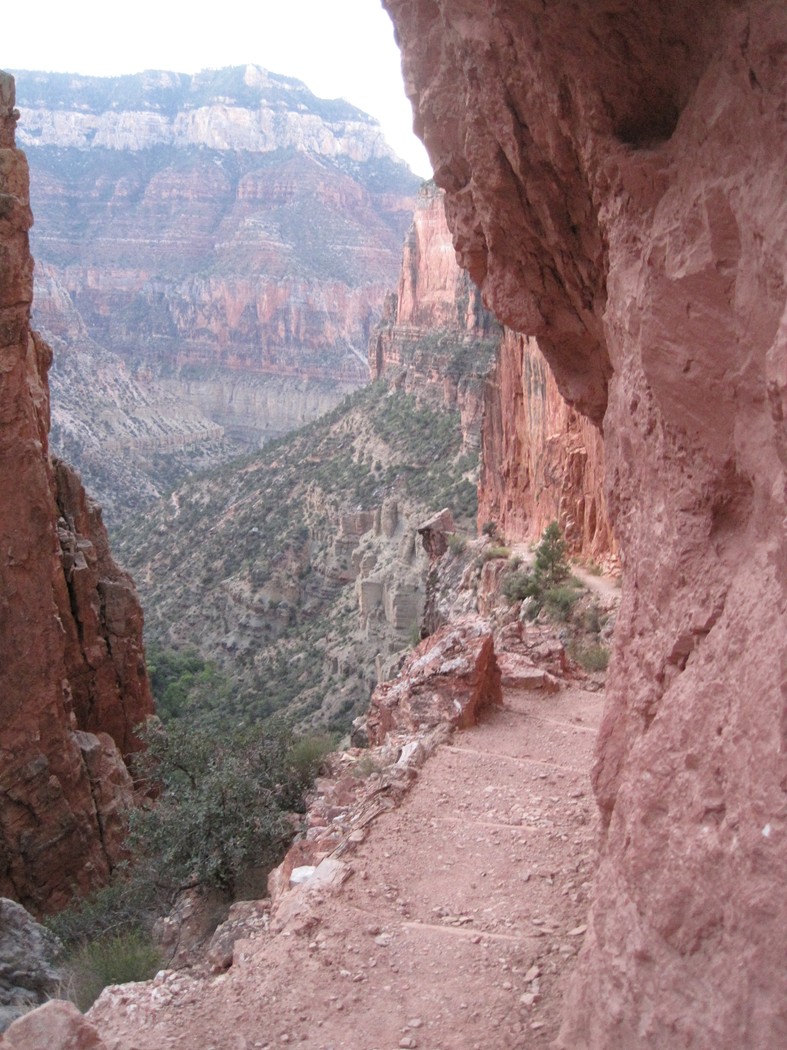
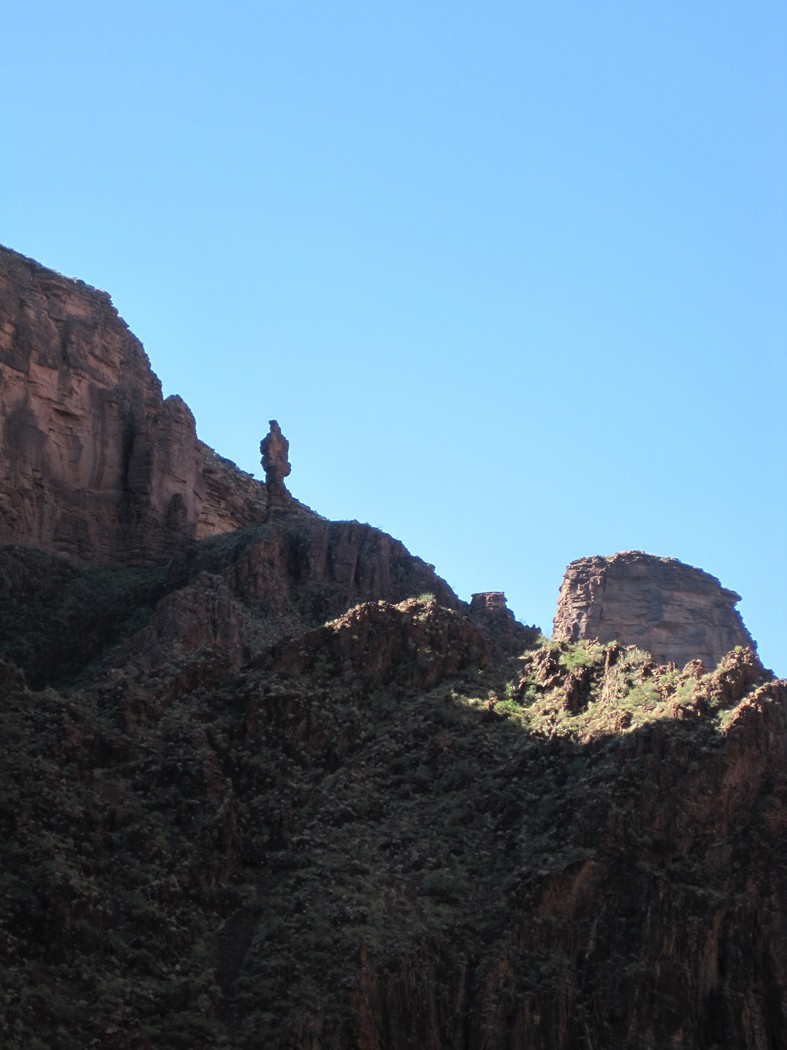
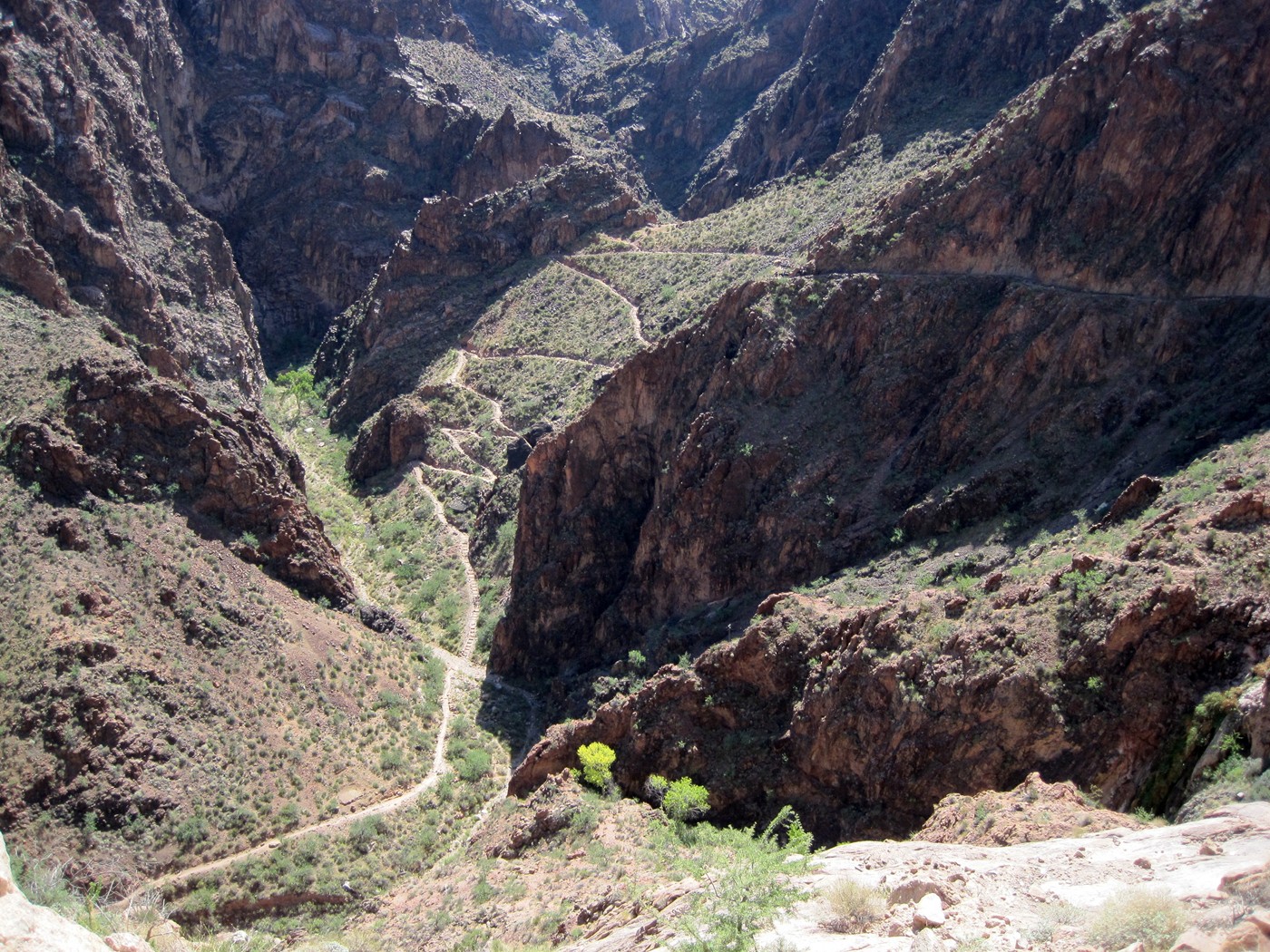
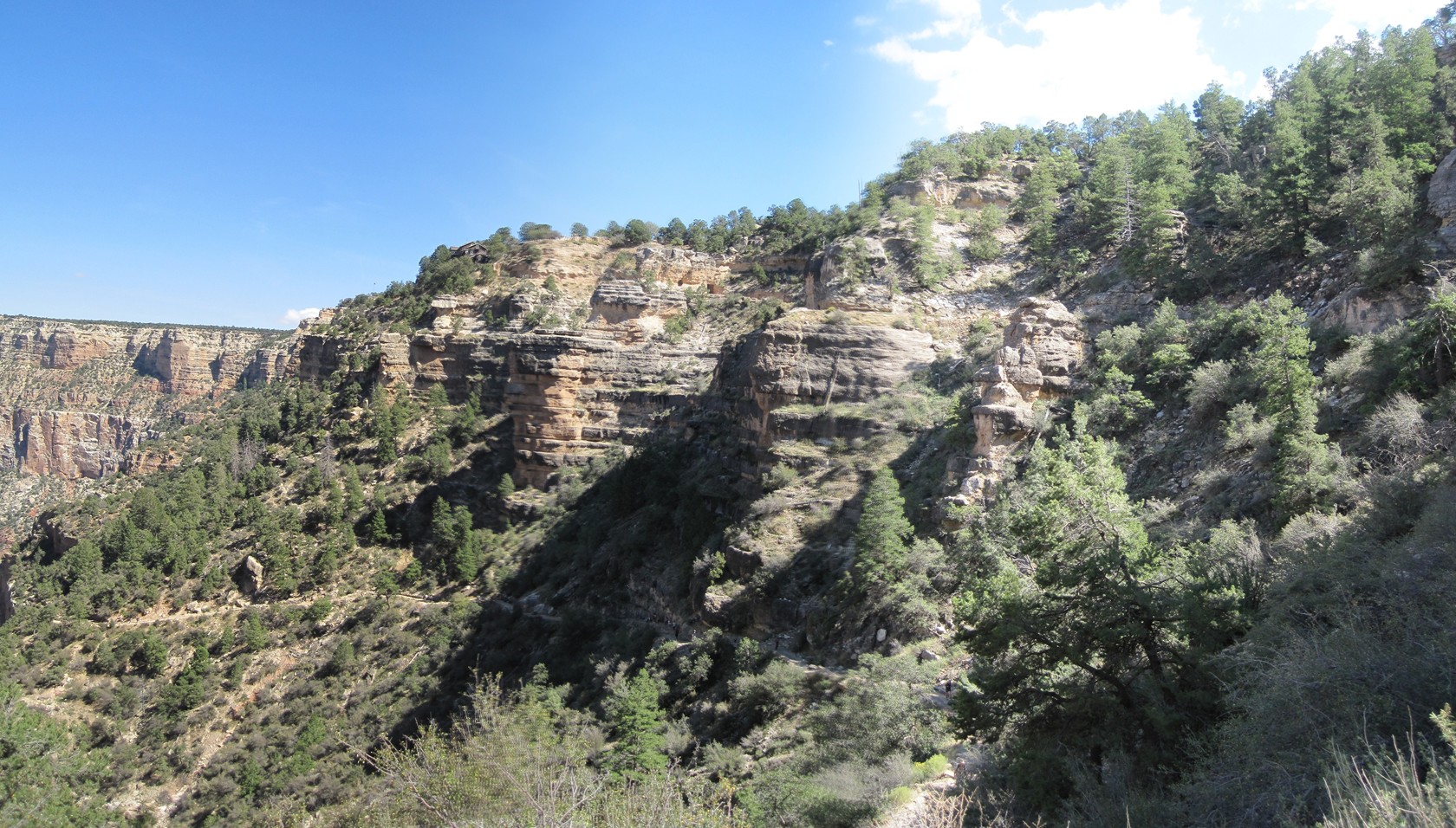
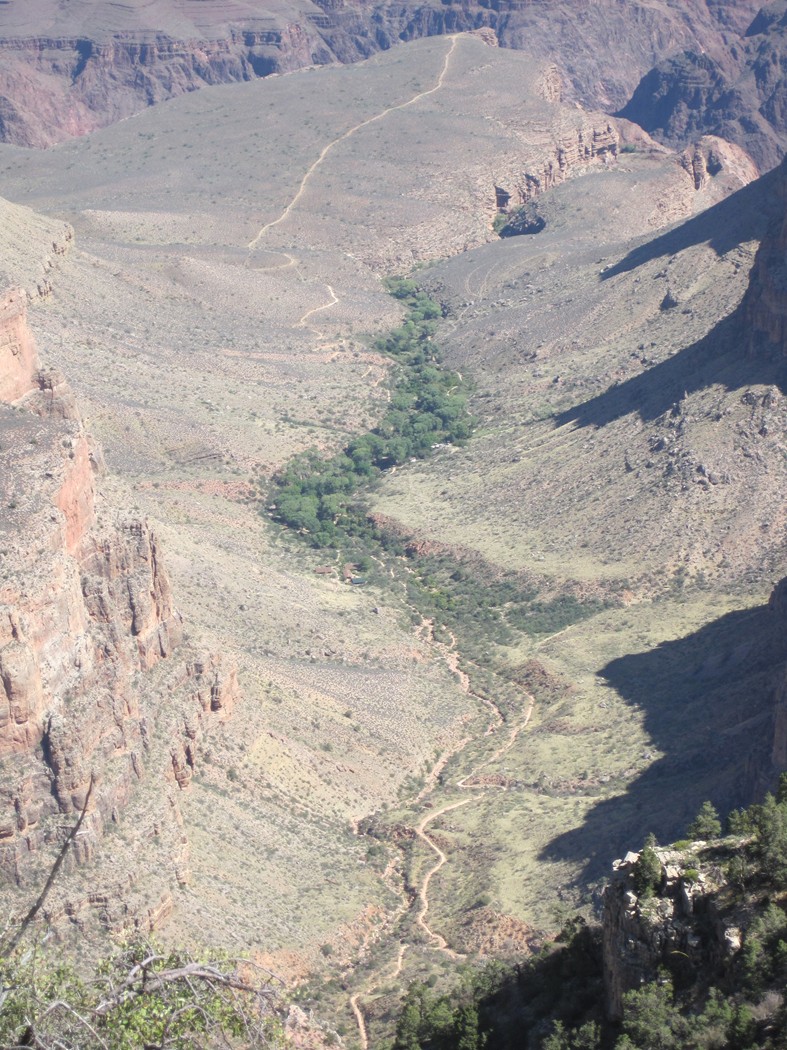
Another great trail exposure shot.
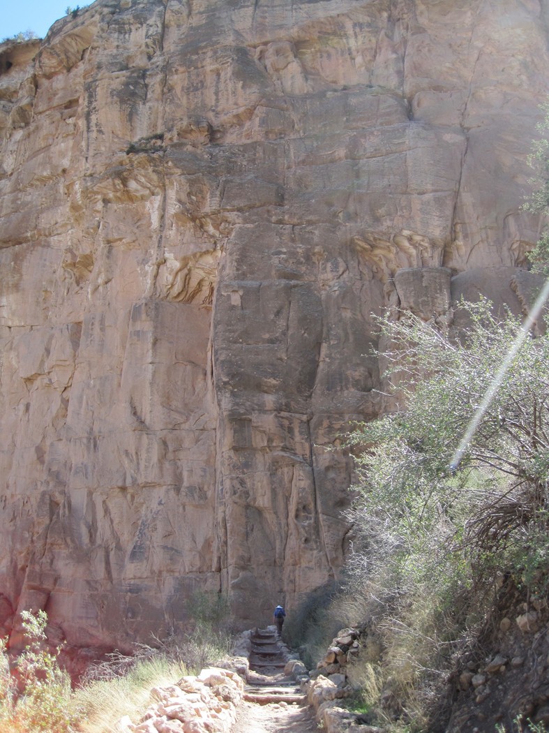
North of Roaring Springs, notice the trail along
the wall.
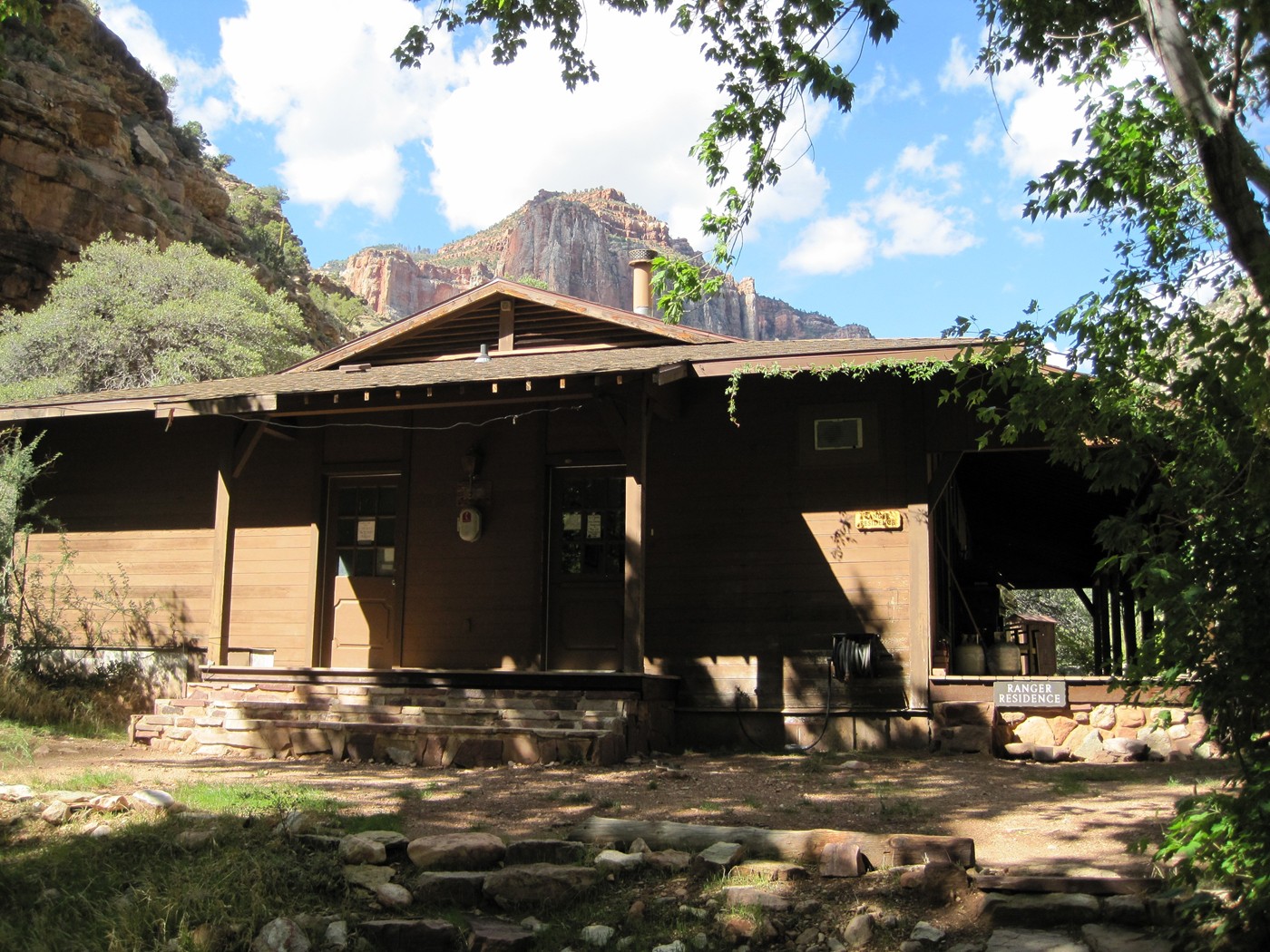
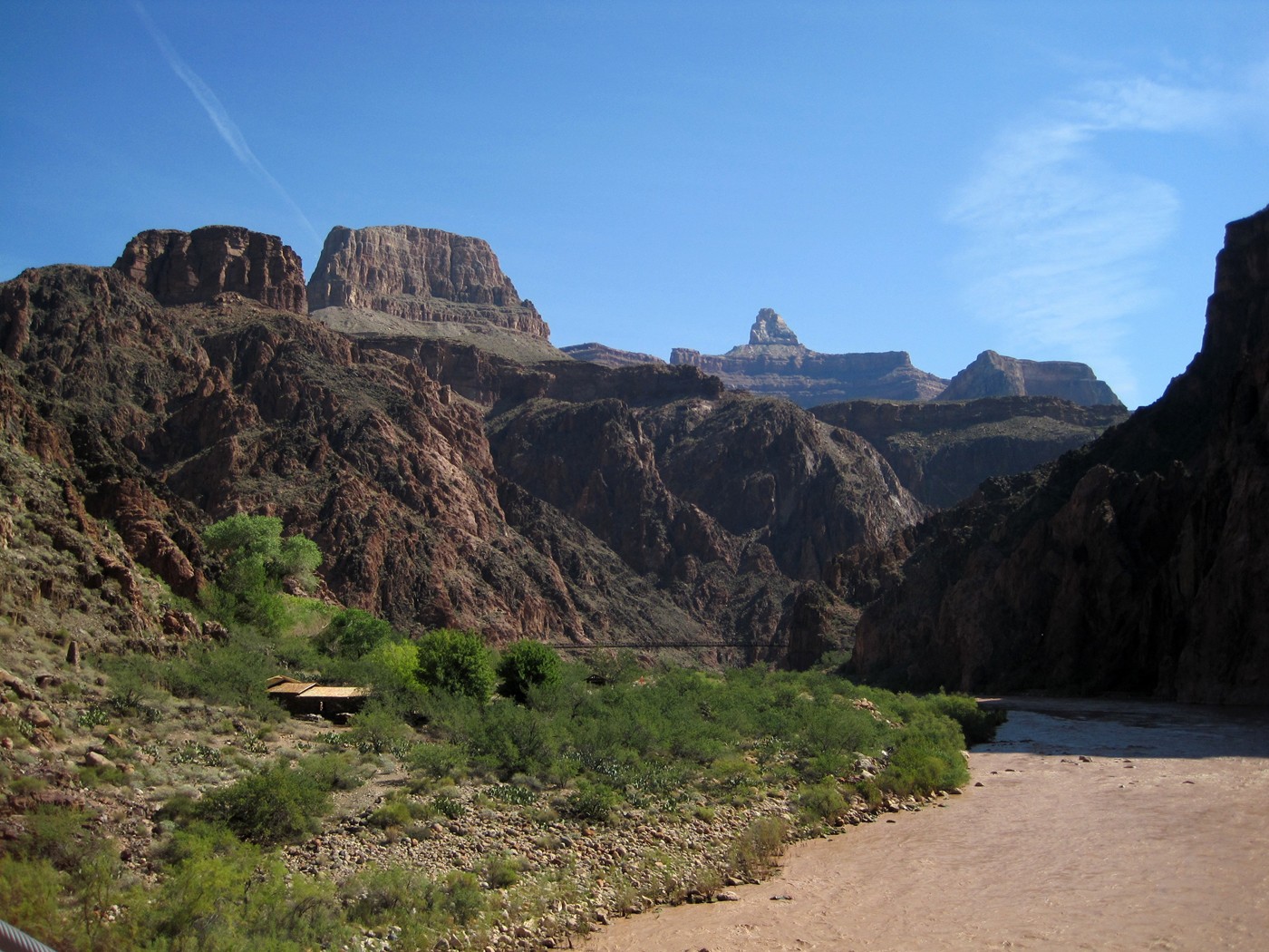
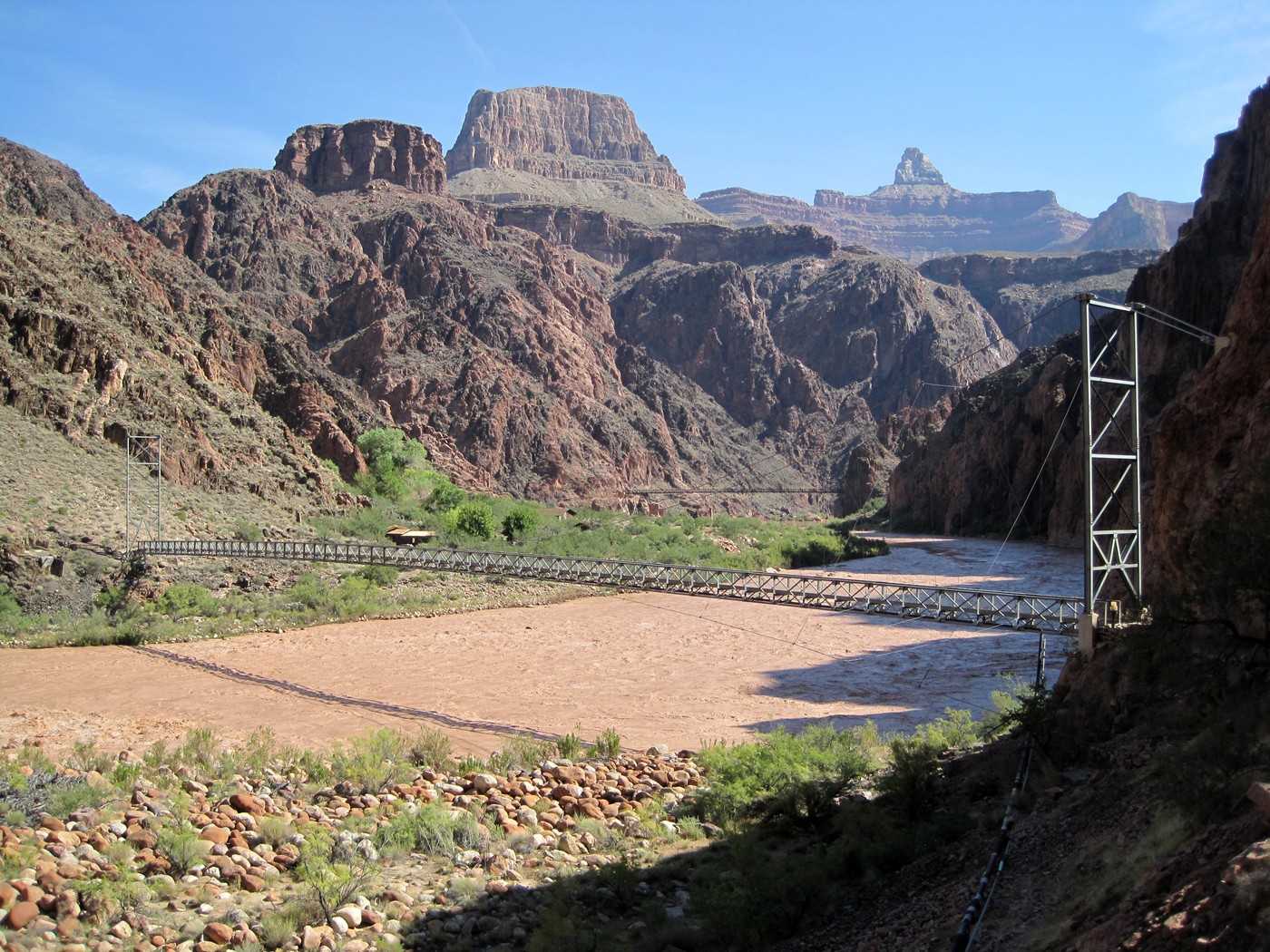
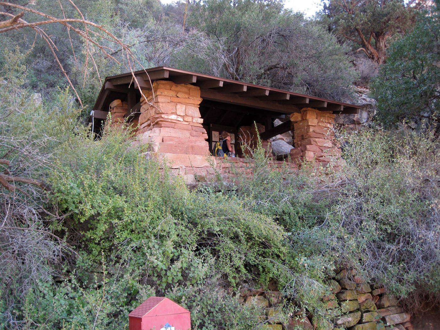
This structure was slightly up canyon from Roaring Springs. Maybe a private
residence?
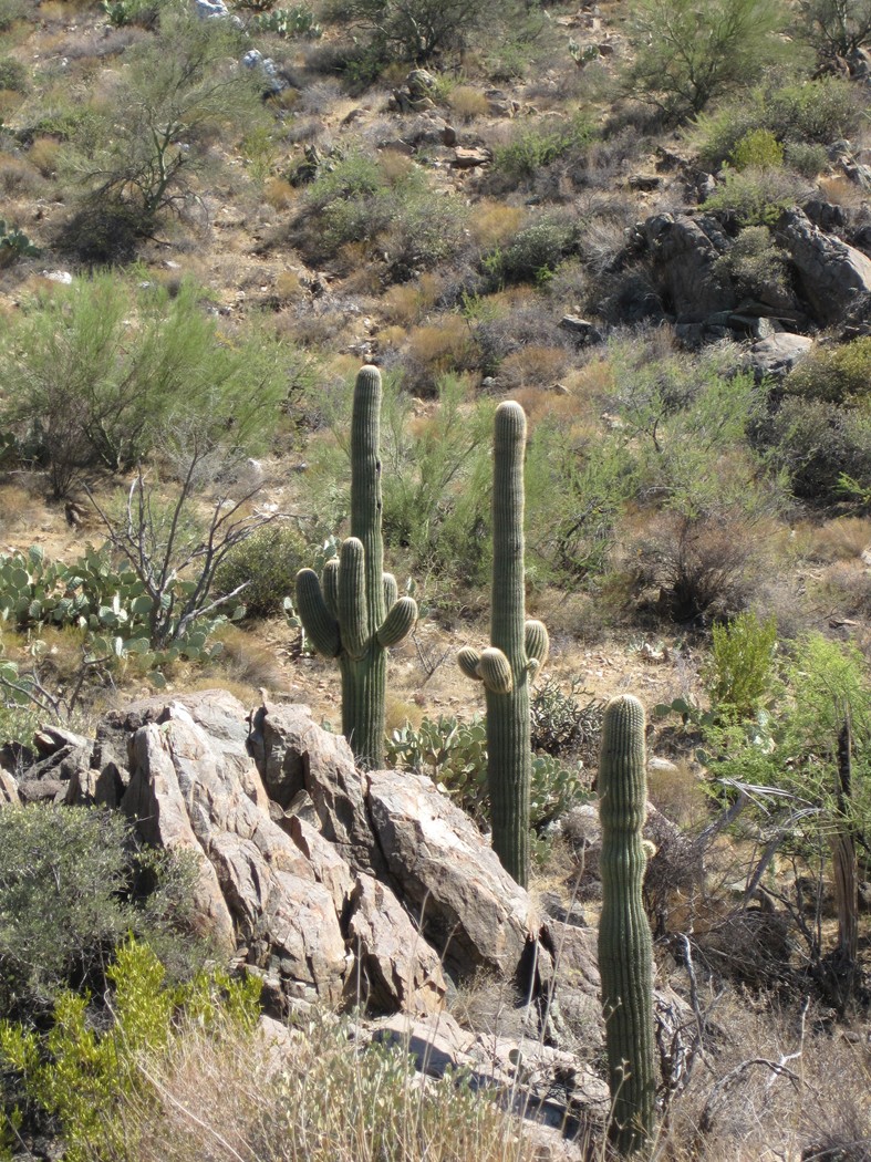
About a mile north of Cottonwood Campground
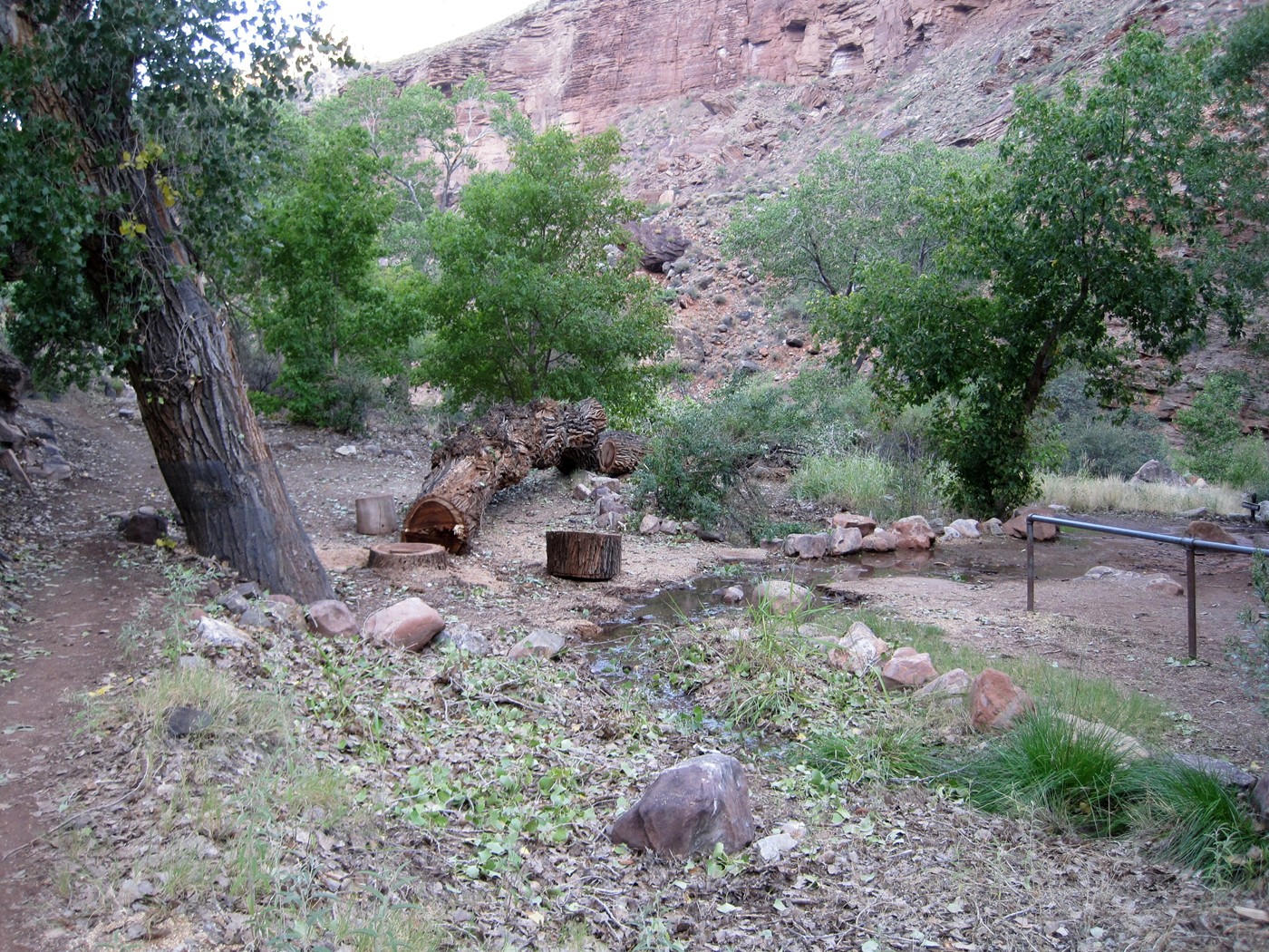
One less cottonwood tree at the Cottonwood
Campground. This was cut down sometime between 2:00 pm Saturday and
7:30
am on Sunday.
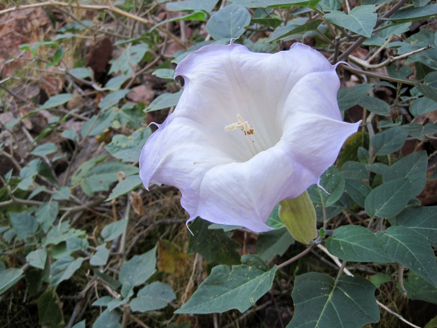
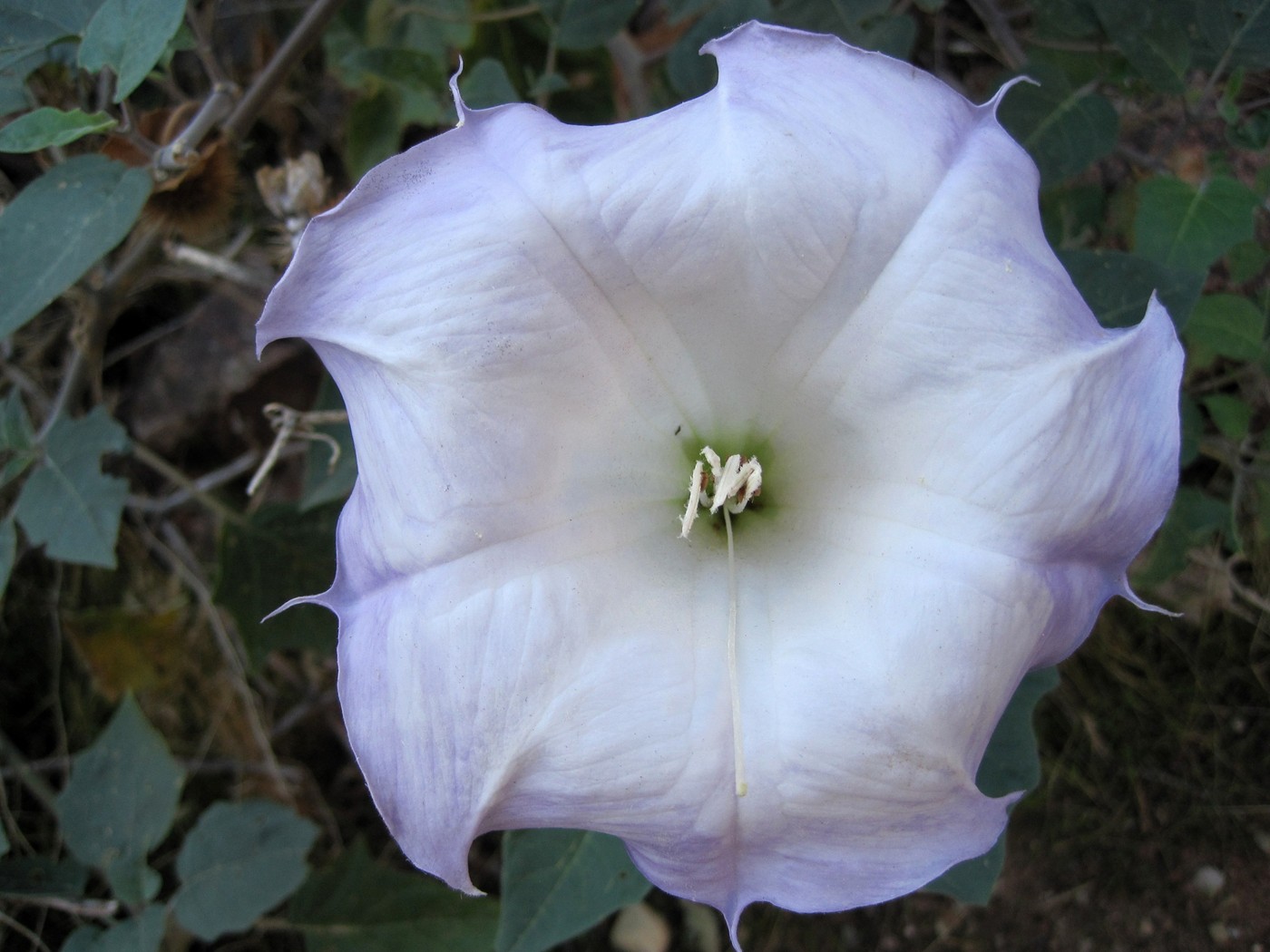
Maybe, I am
hallucinating, but it seems like more color
in the flowers the second day.
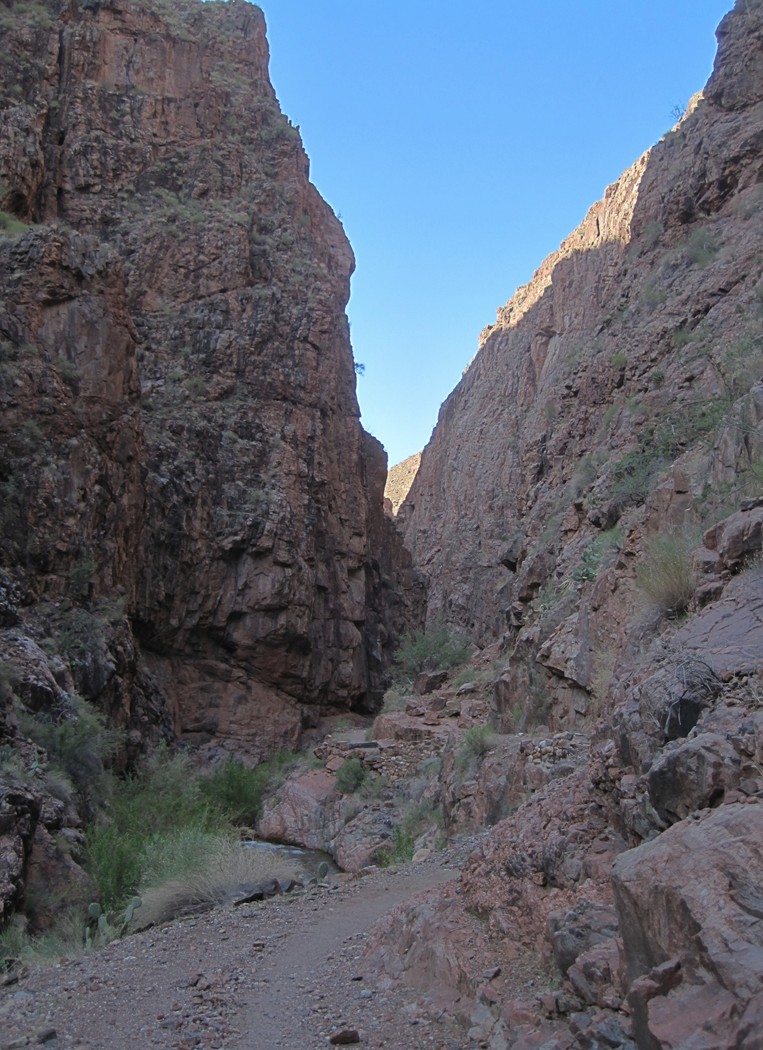
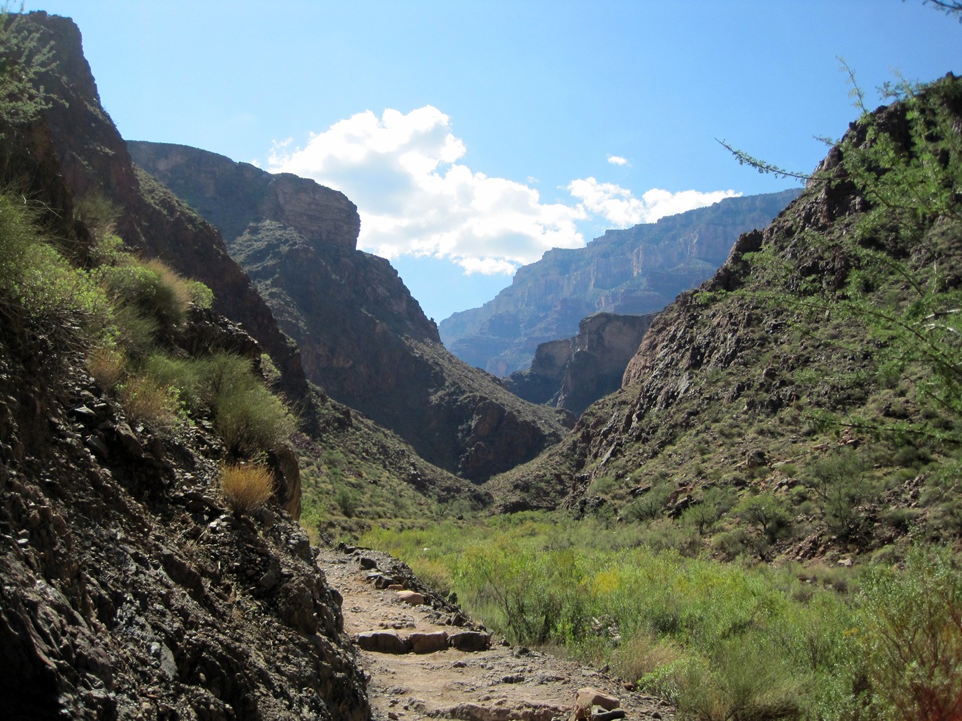
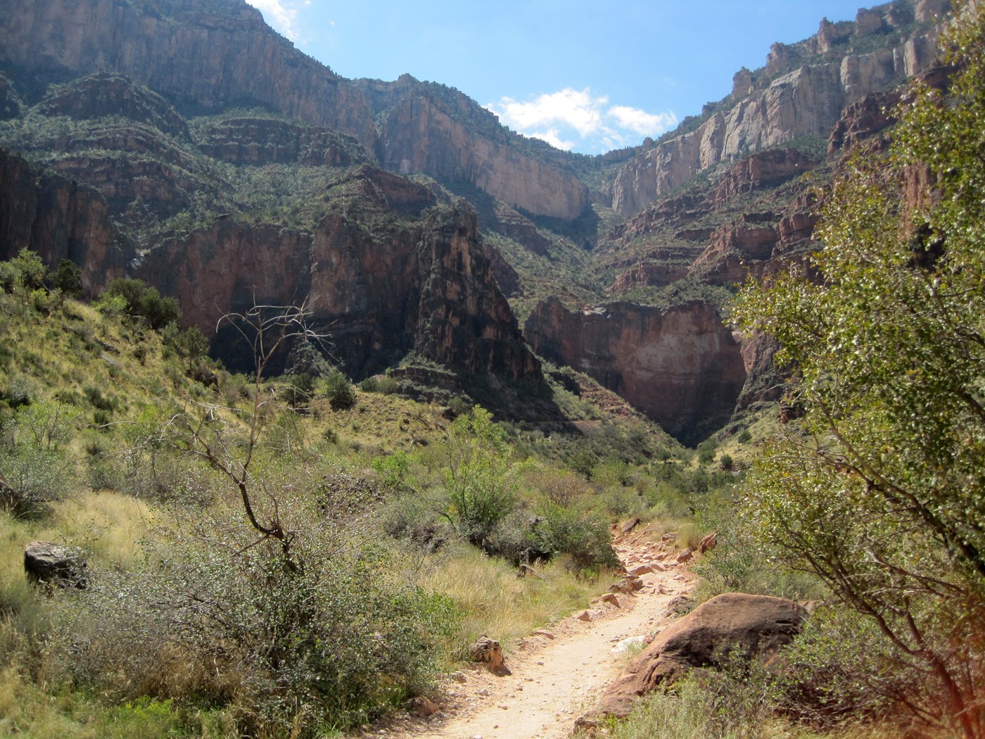
Into the narrow lower part of the North Kaibab
trail, still no direct sun.
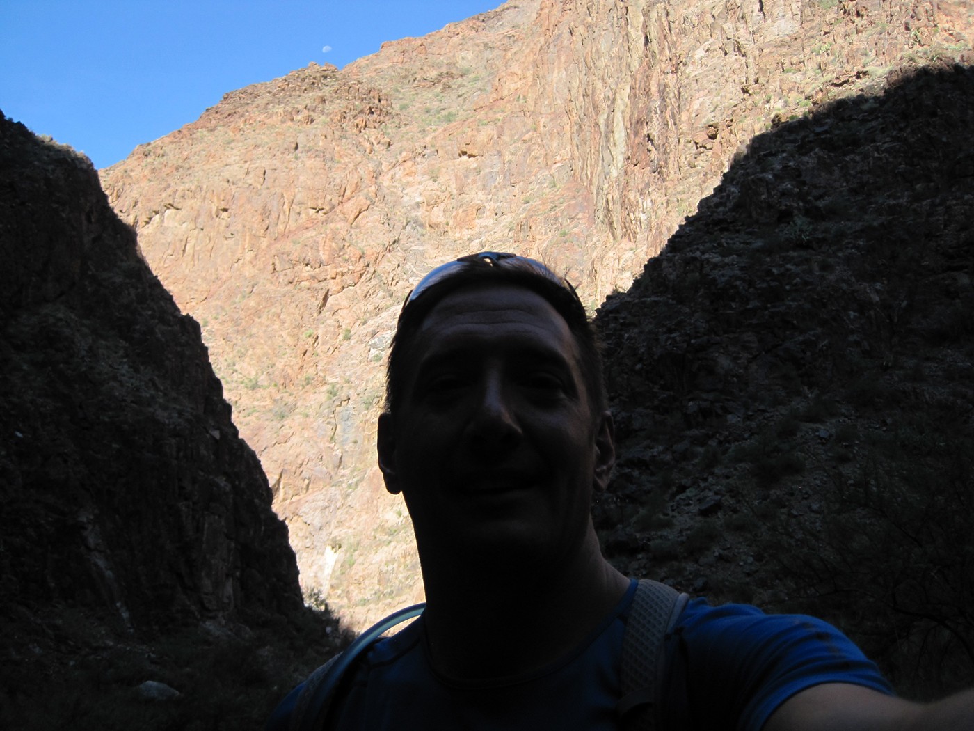
Direct sun and the moon ahead.
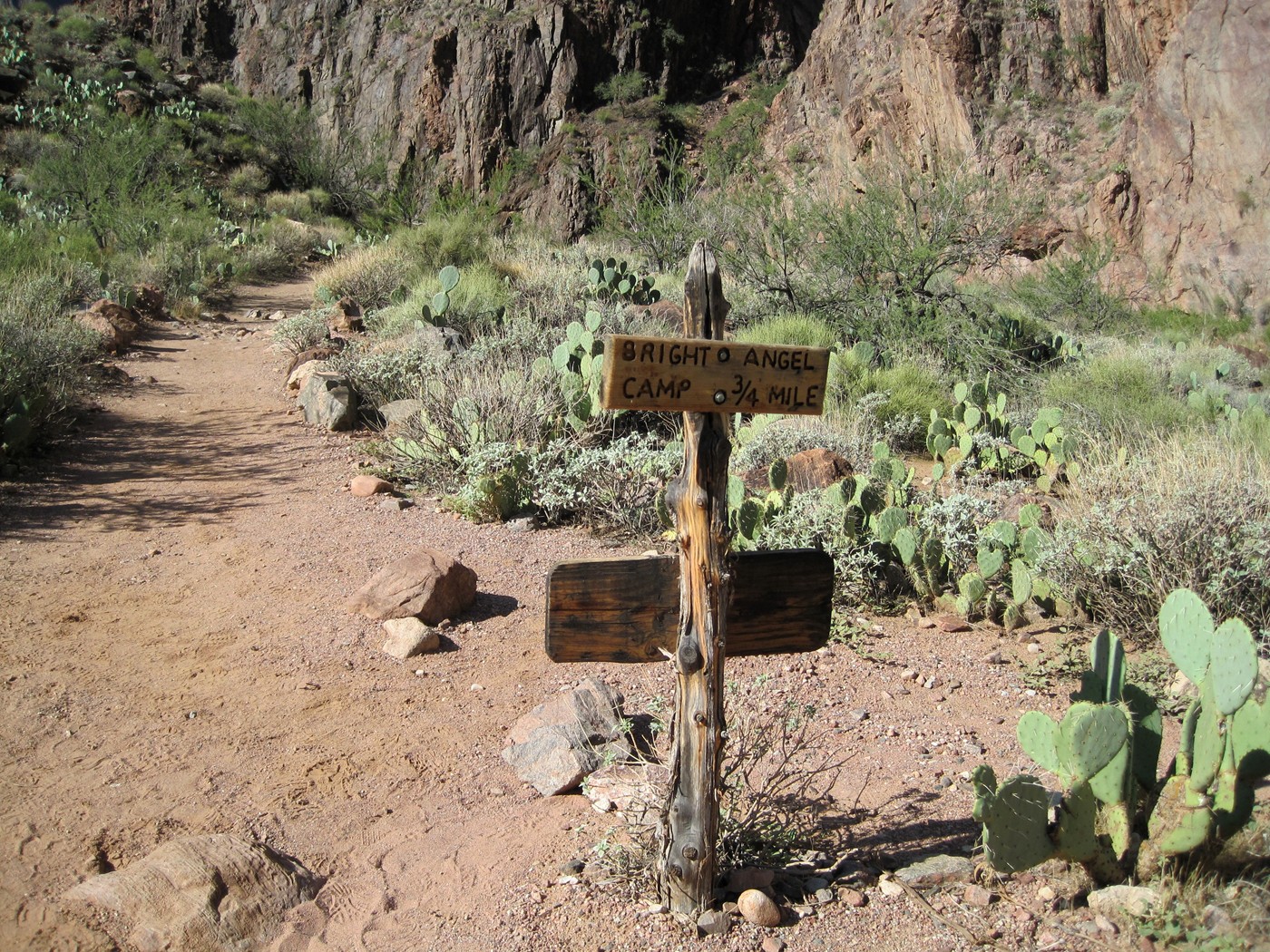
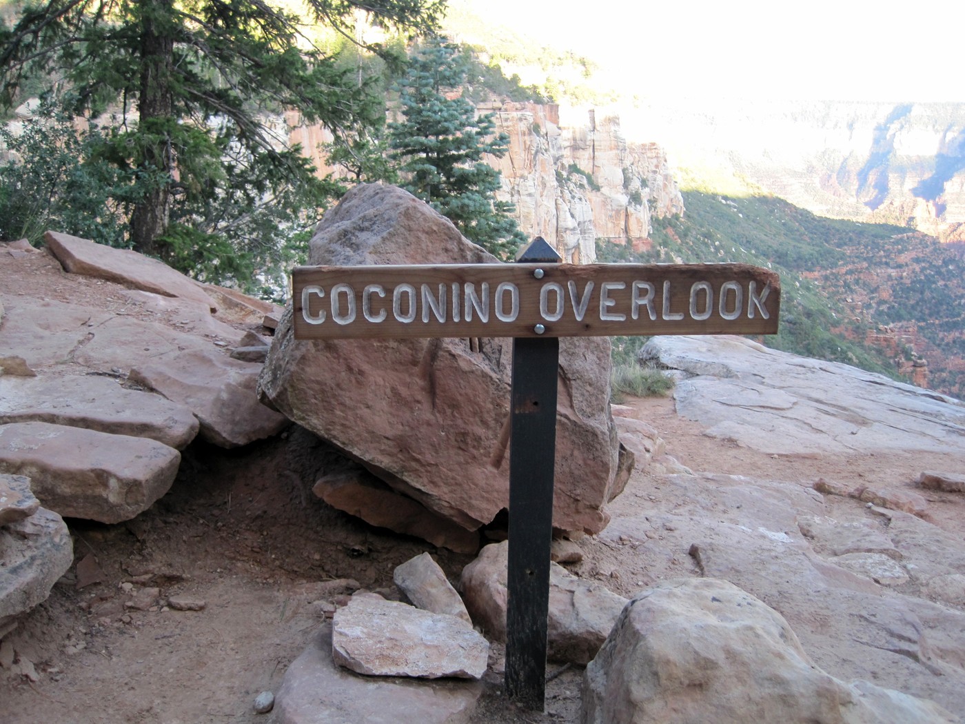
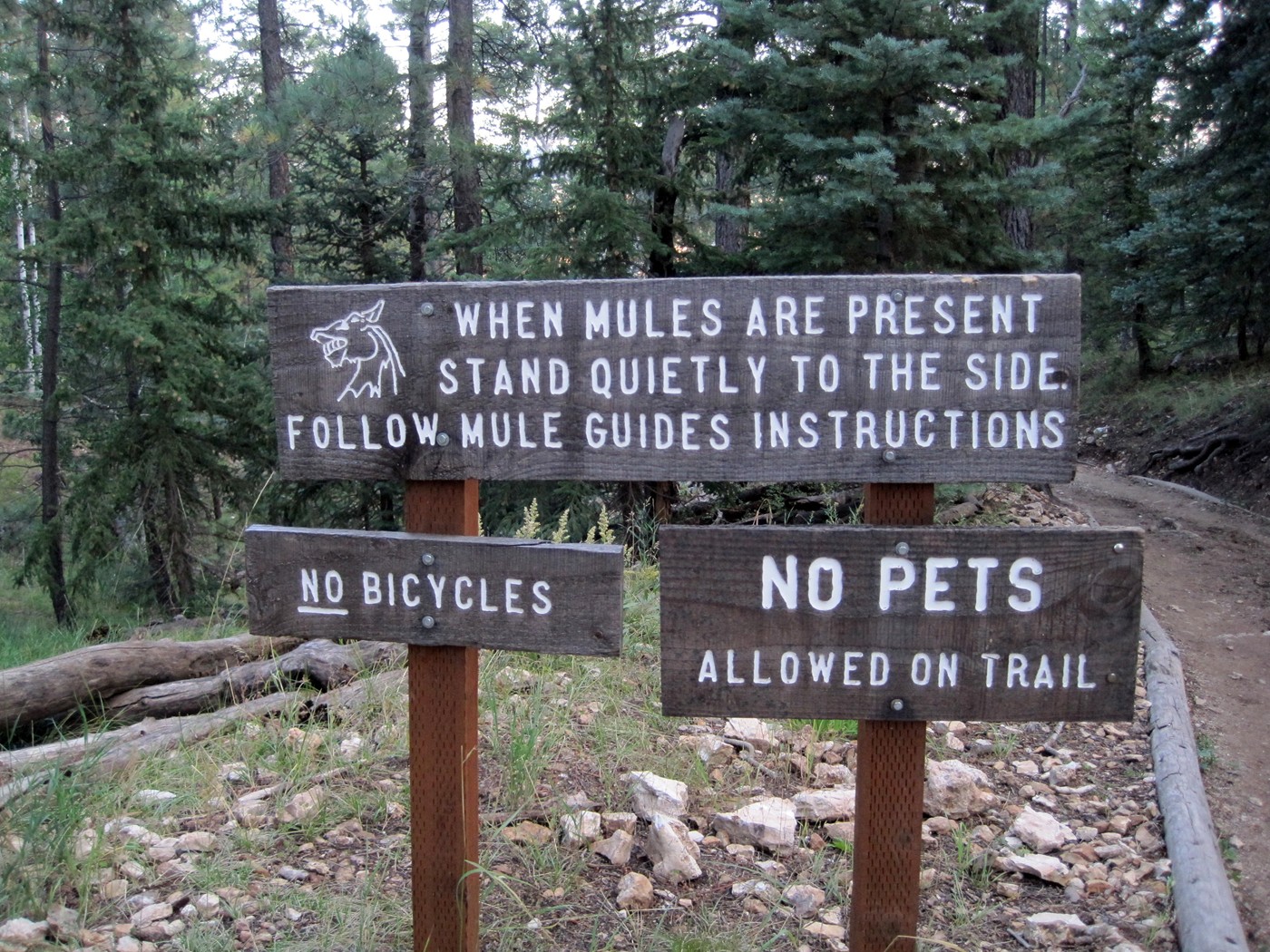
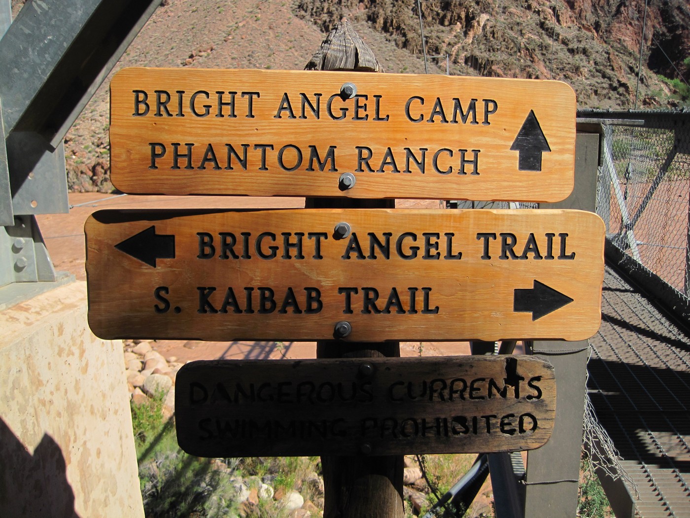
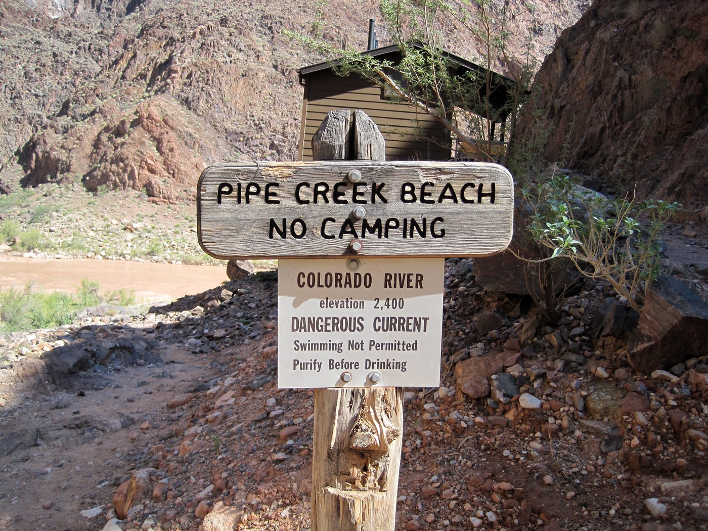
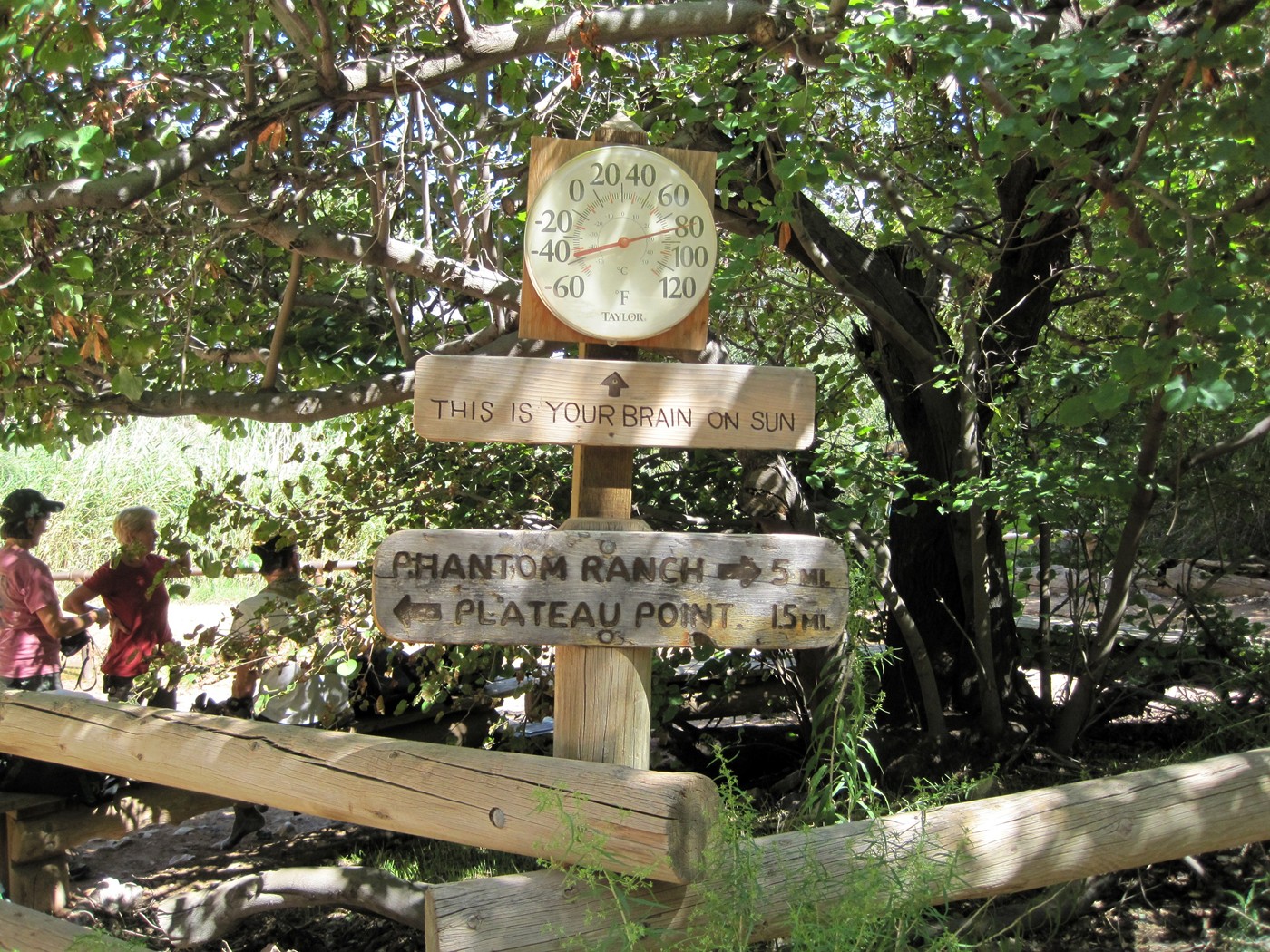
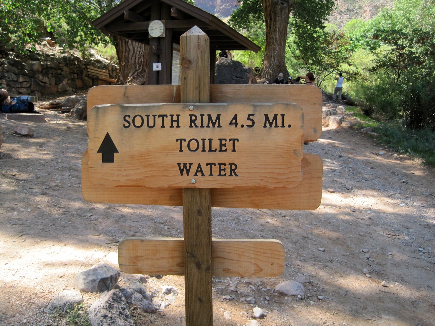
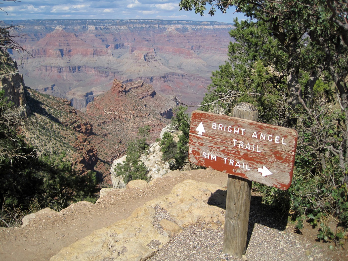
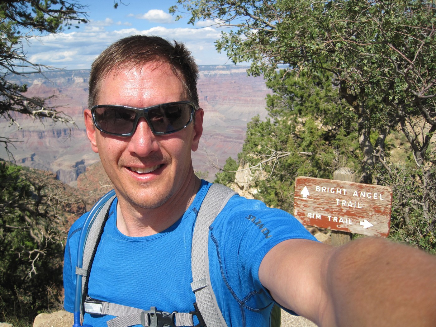
The other side of the sign from the first day.
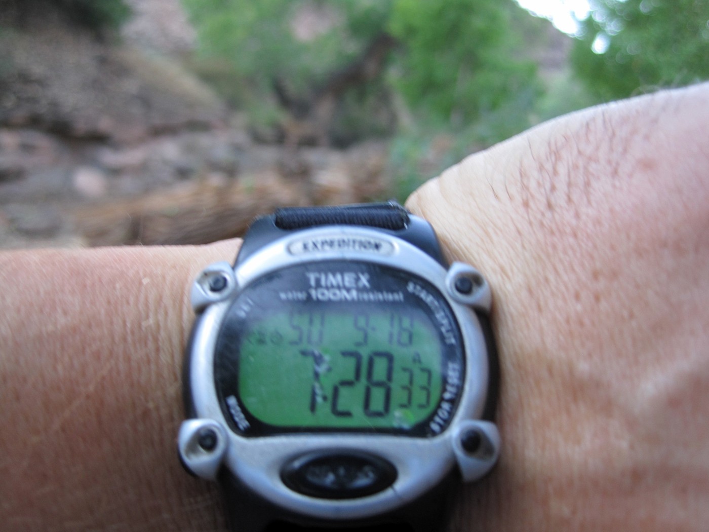
A cold beverage sounded good, but it was
9:40am, so I changed my socks and continued.
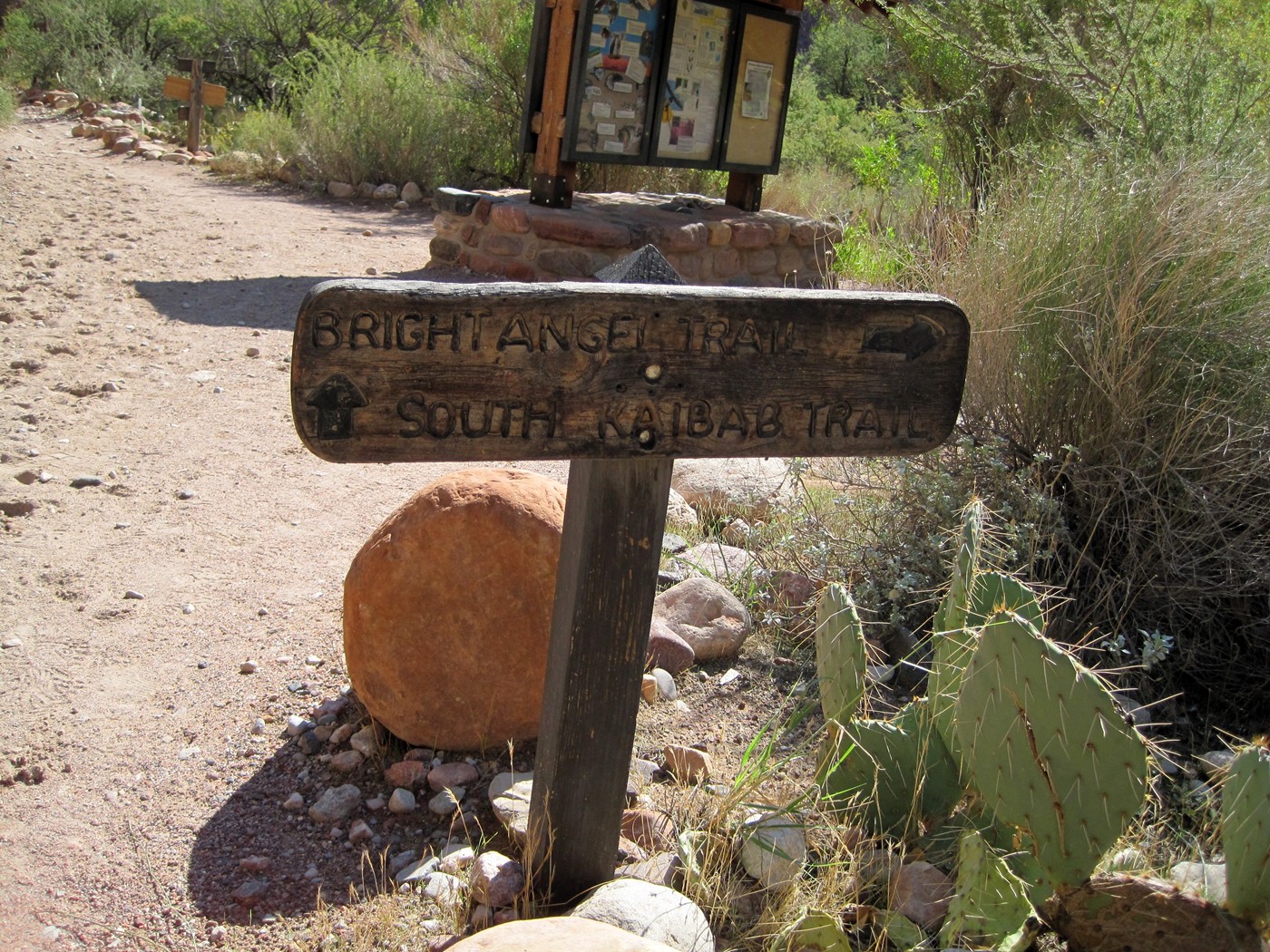
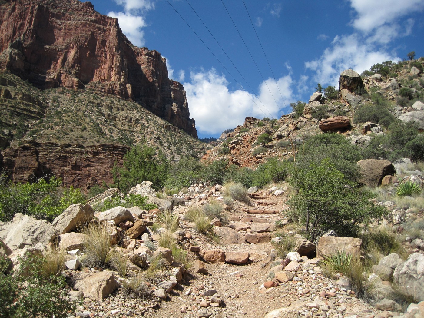
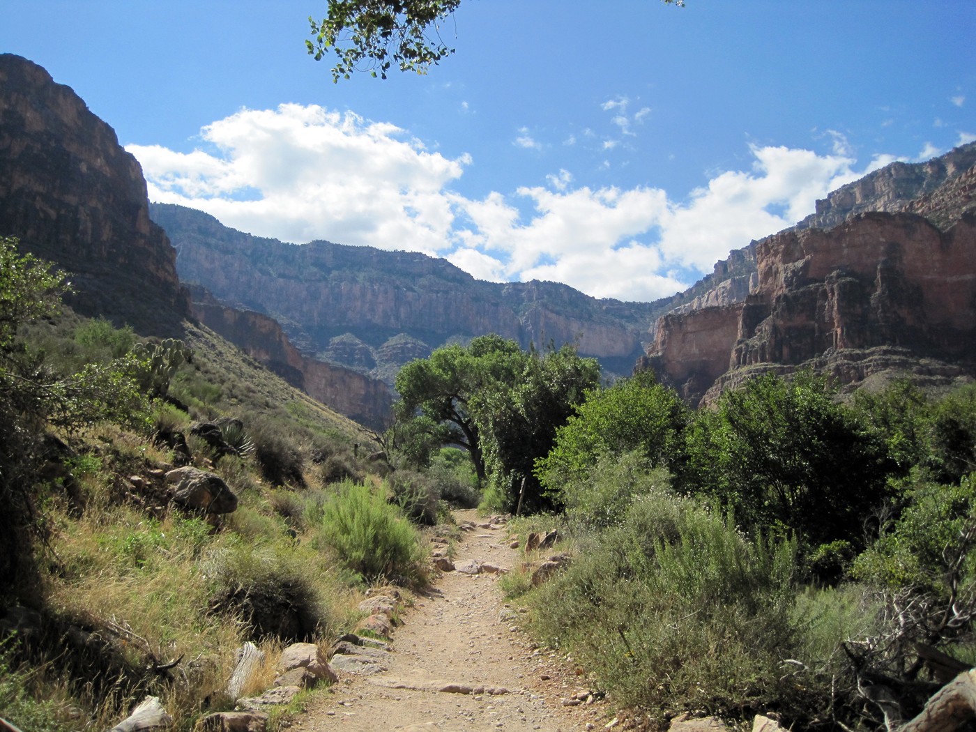
Finally, a new trail and 9.5 miles to go.
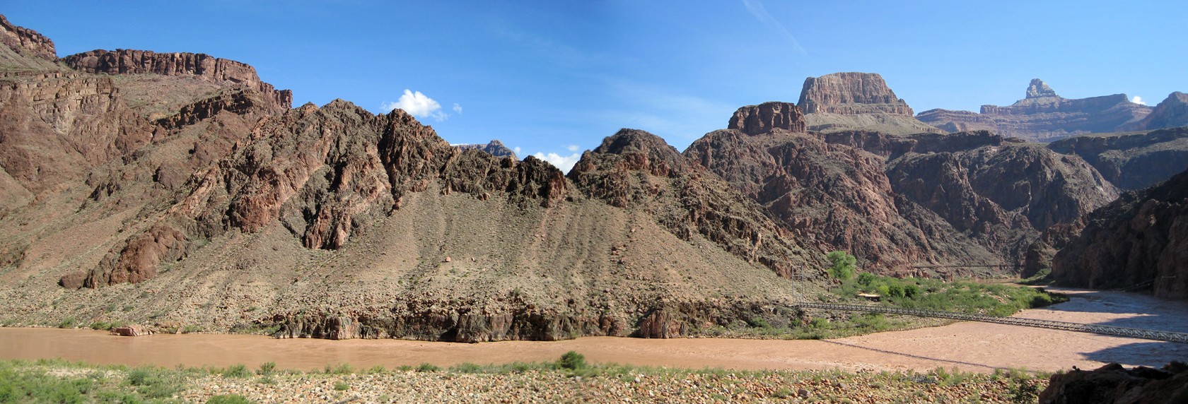
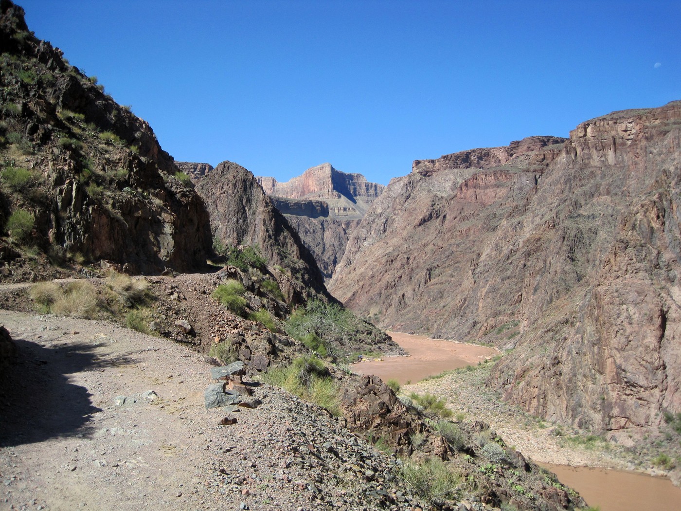
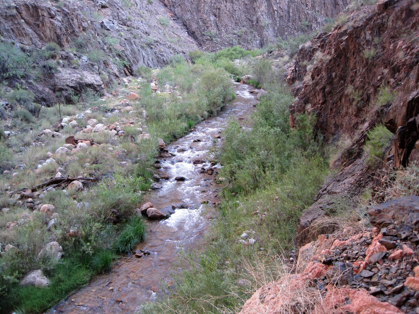
The trail follows the river for a mile or
so before heading south and up.
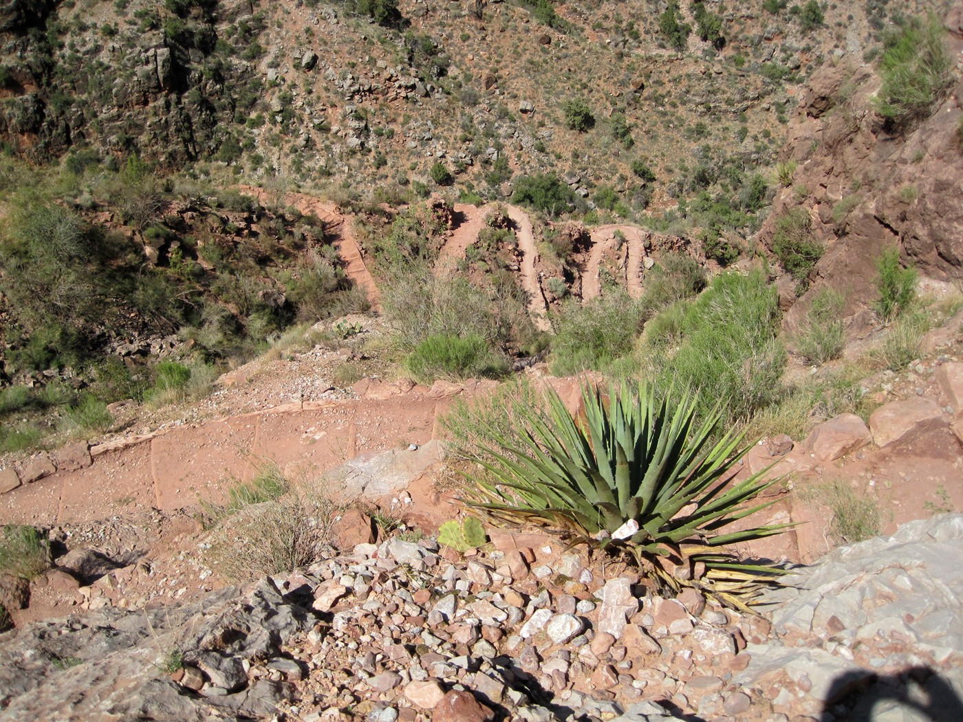
The first set of switchbacks from the
river.

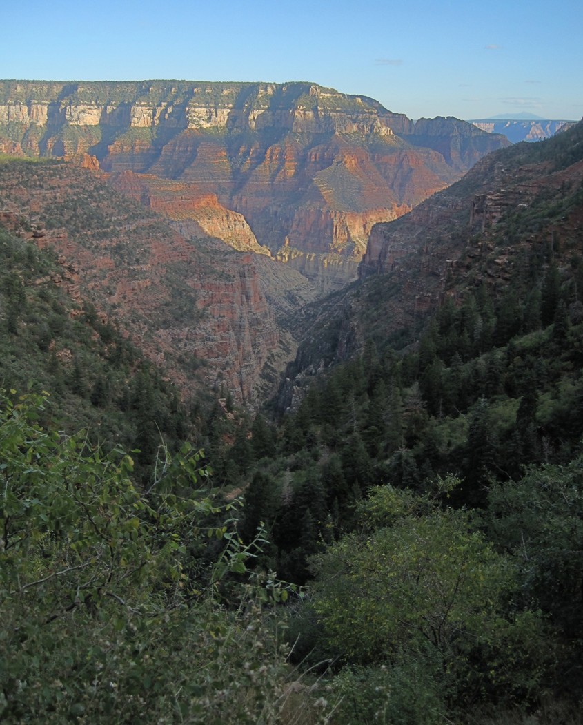
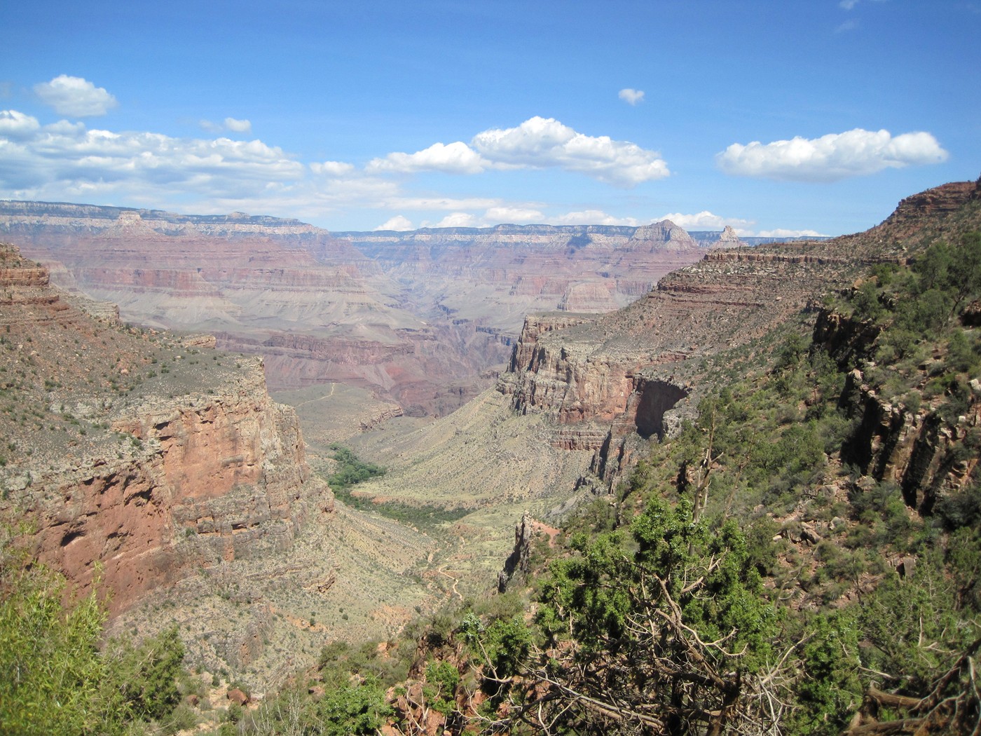
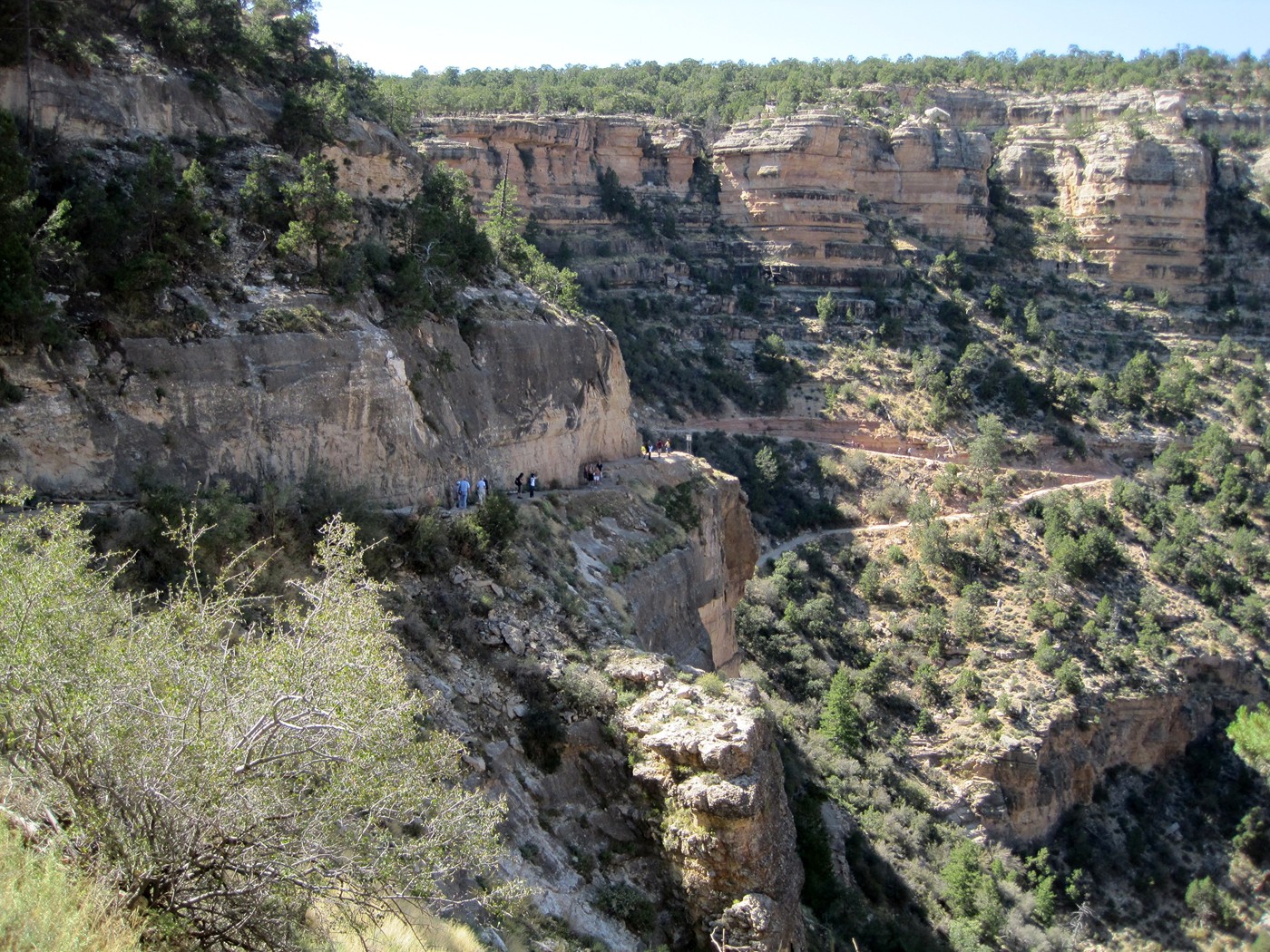
Approaching Indian Garden, the South Rim in
the background.
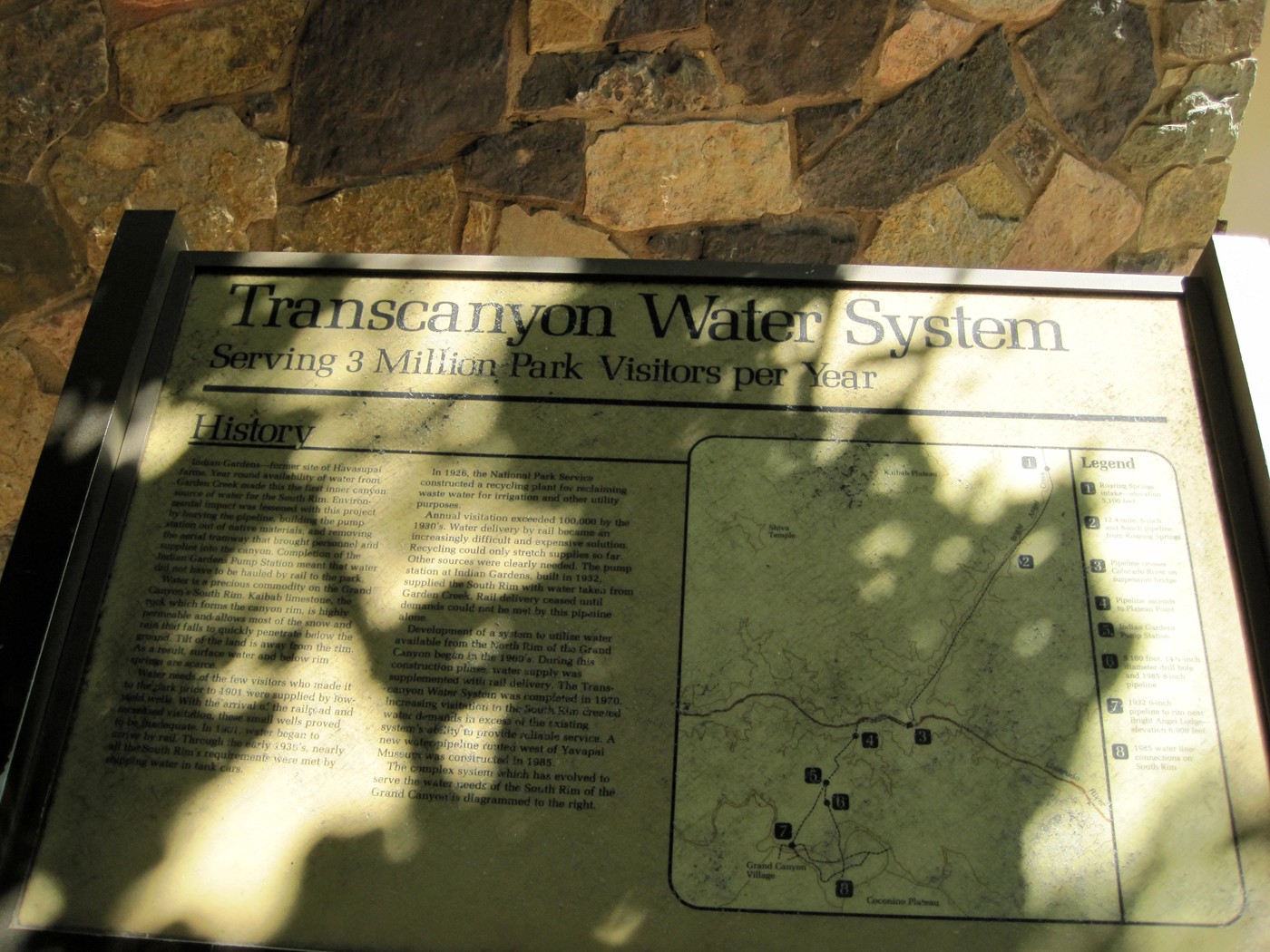
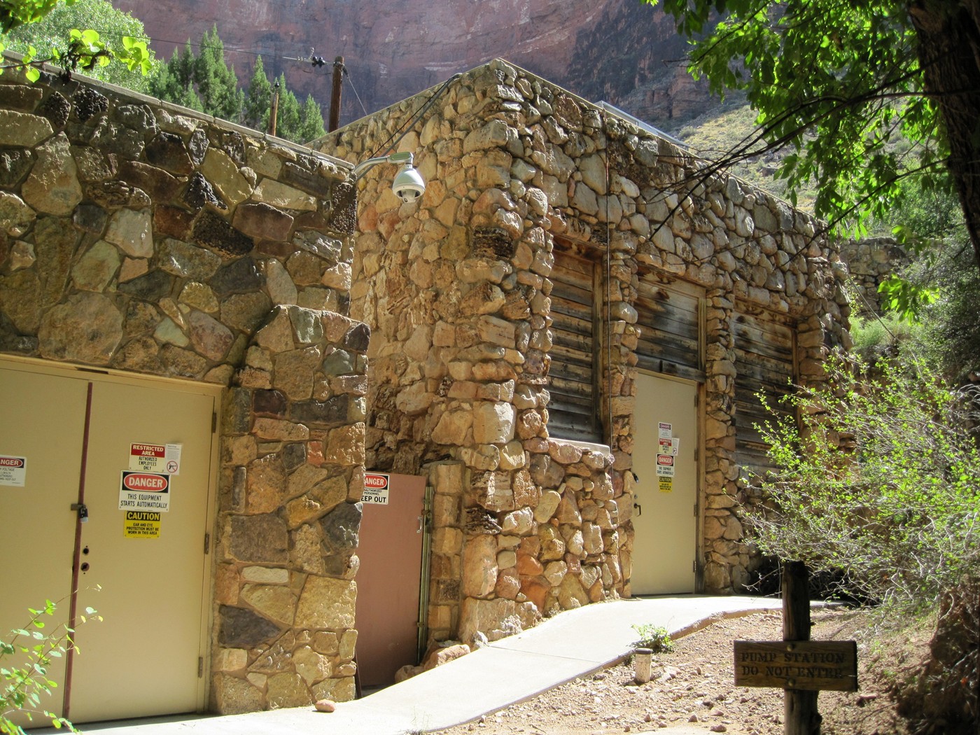
The pumping station at Indian Garden.
I arrived at Indian Garden around
11:45am well hydrated and stomach full. 4.5 miles and
3,100ft climb to go.
With 3 miles to go, still plenty of
climbing to complete.
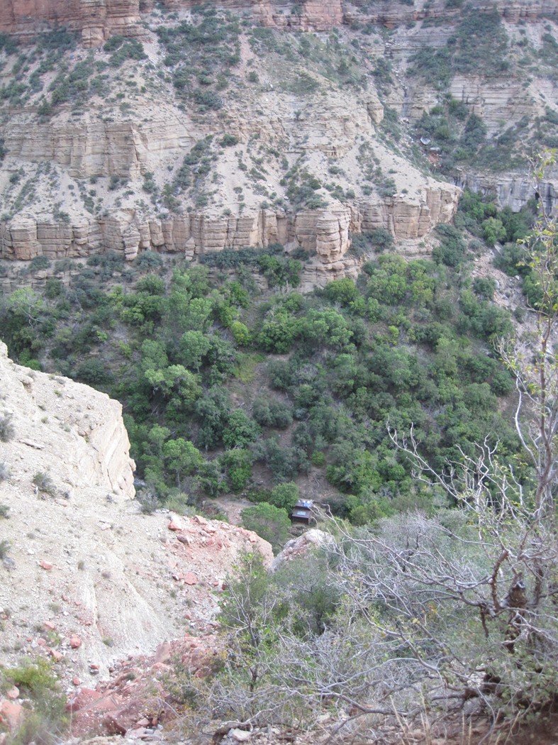
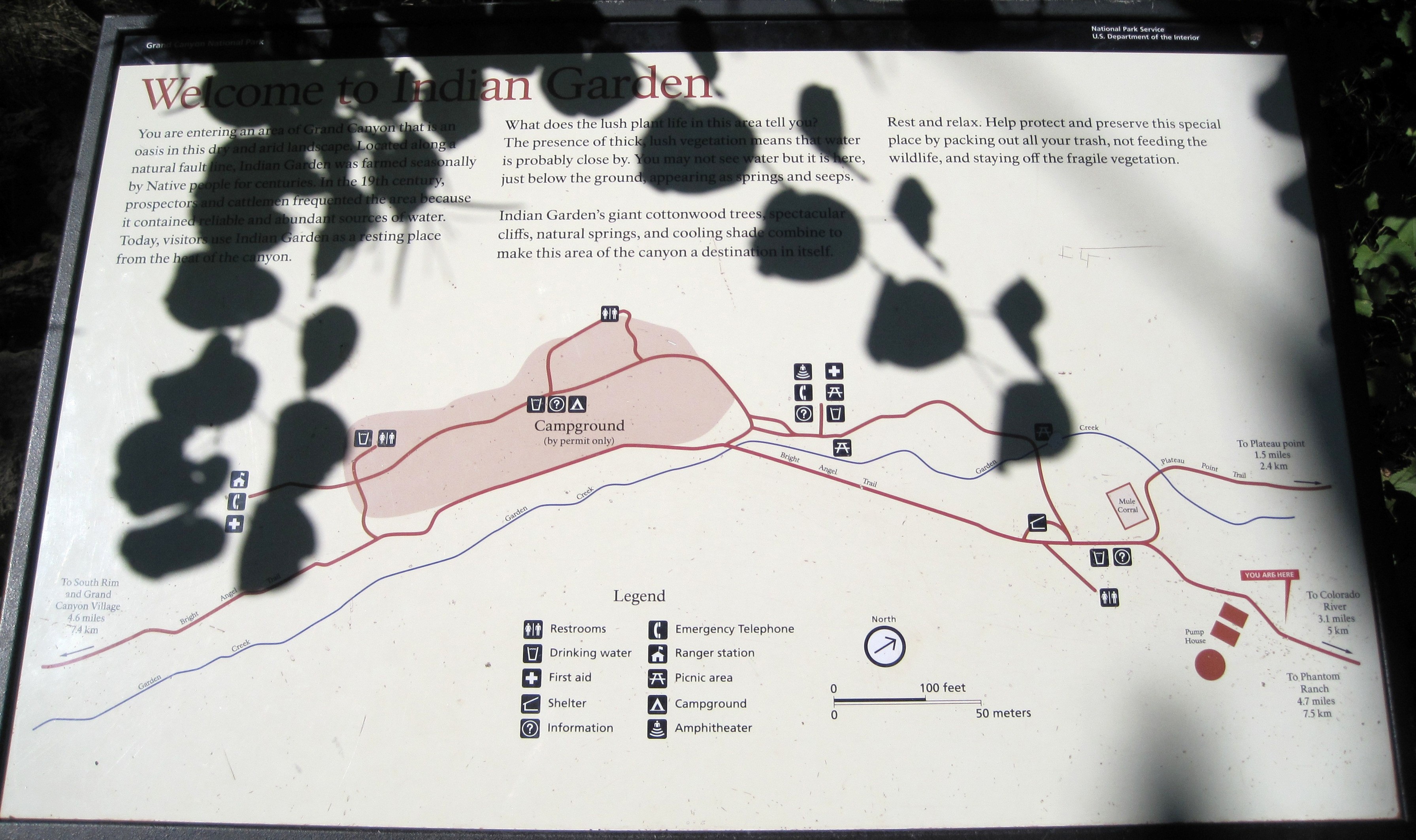
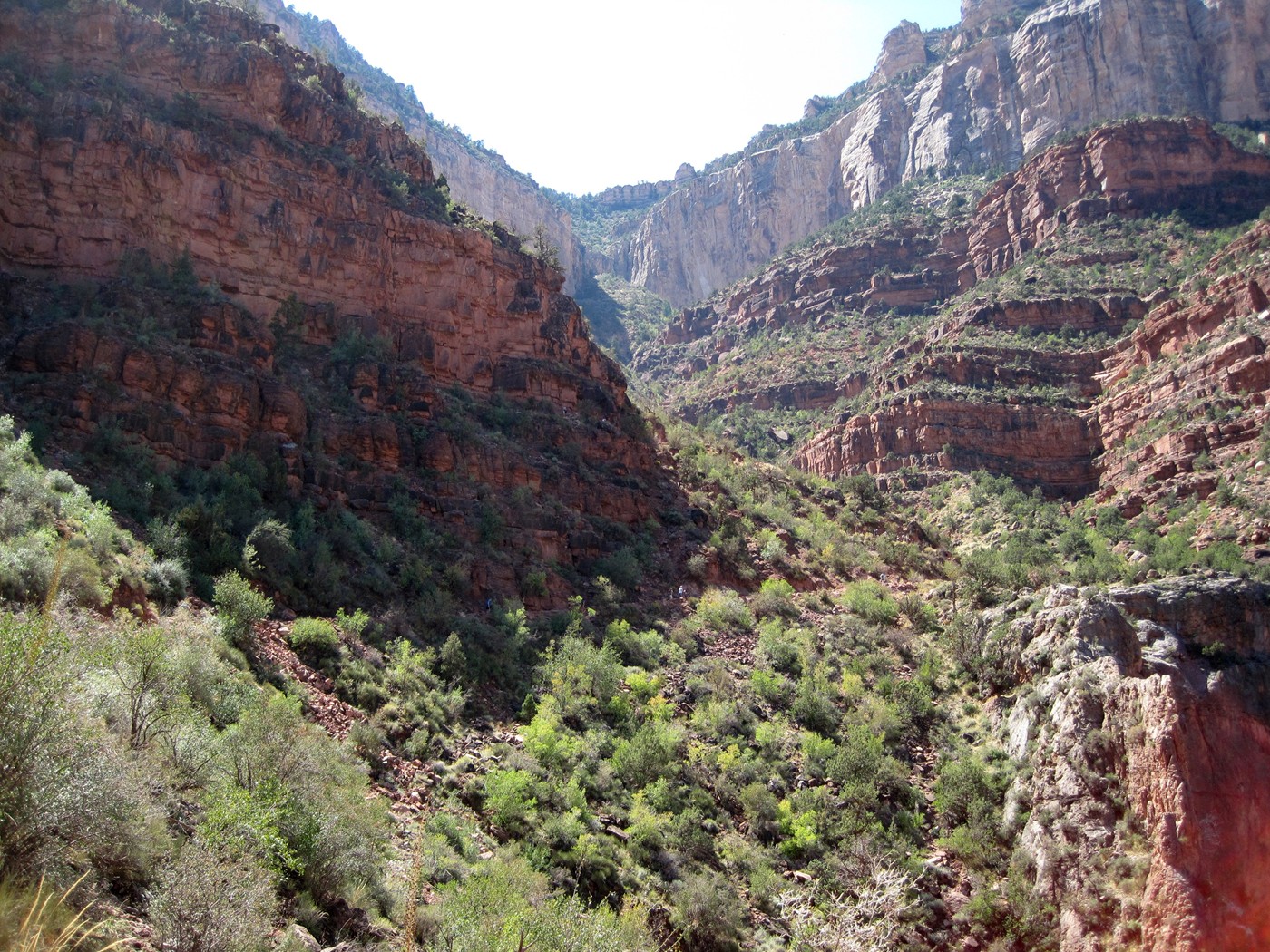
Indian Garden is the section of thick trees
in the valley below.
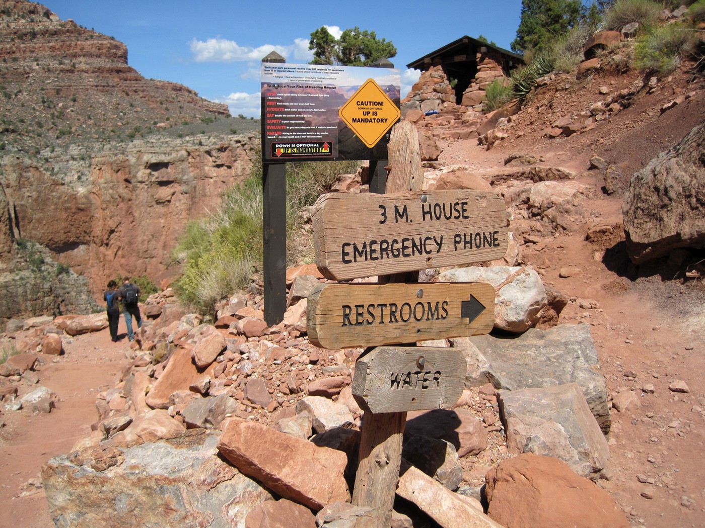
1.5 mile restrooms and Resthouse.
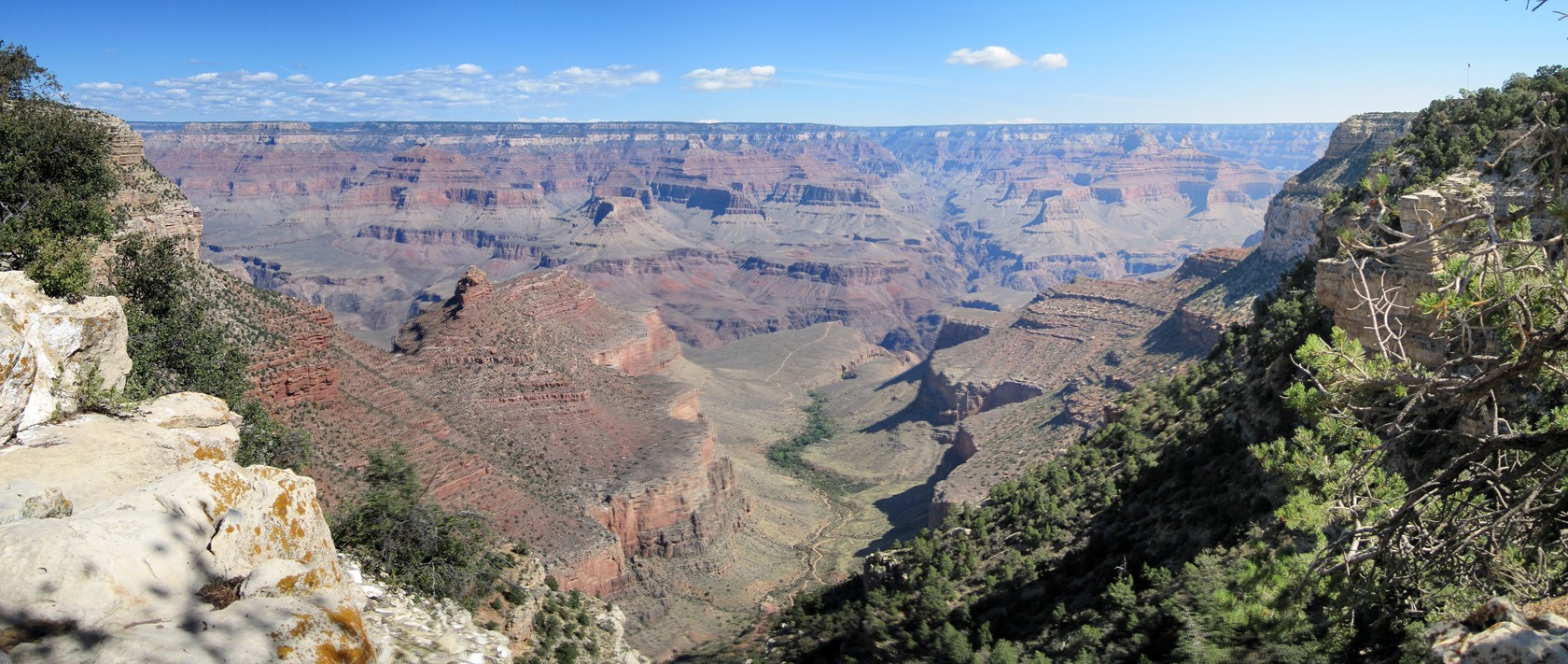
Almost there, but had to grab this shot of
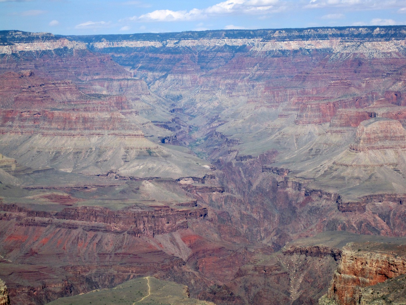
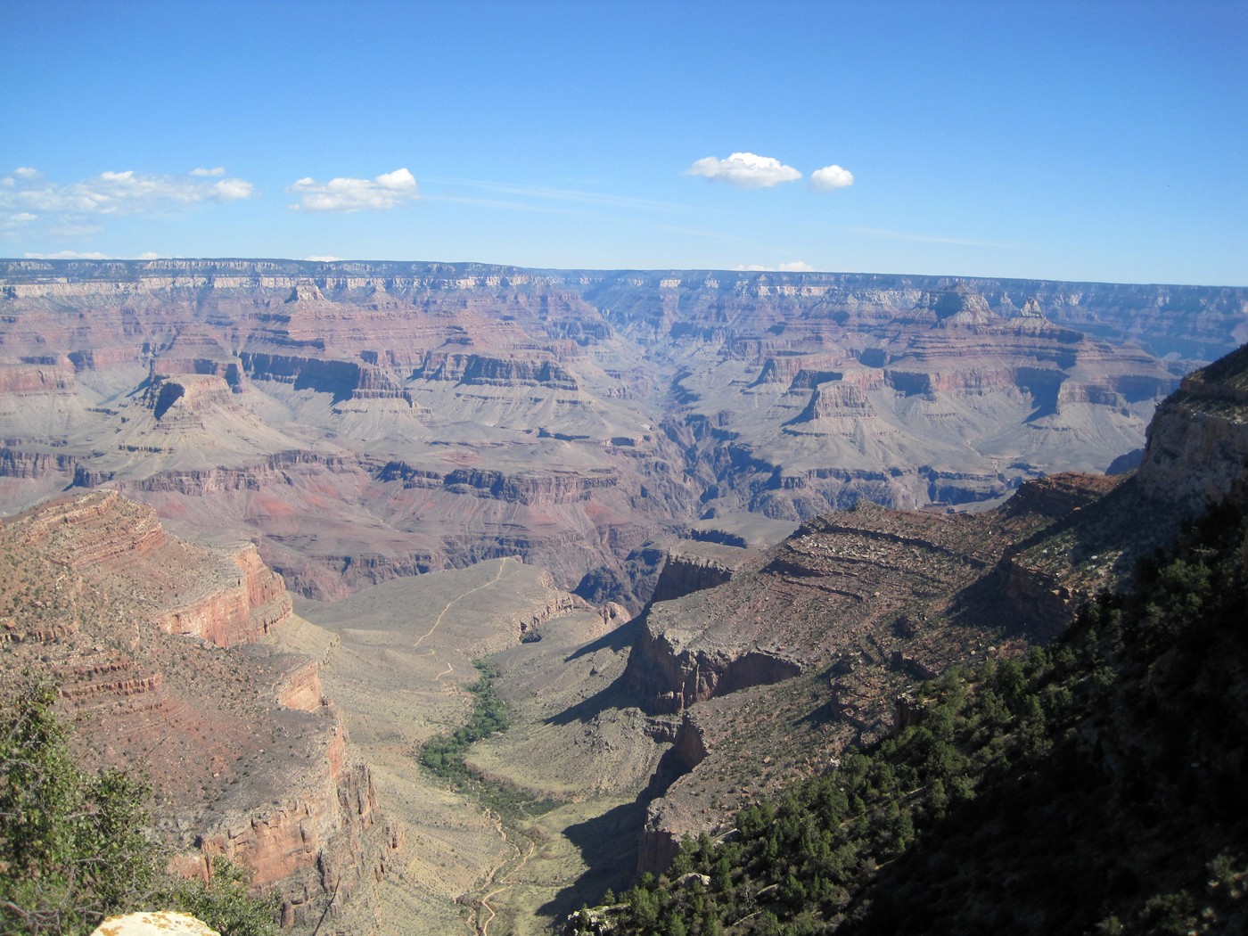
the inner canyon, if you look closely, you can even see the North Kaibab trail.
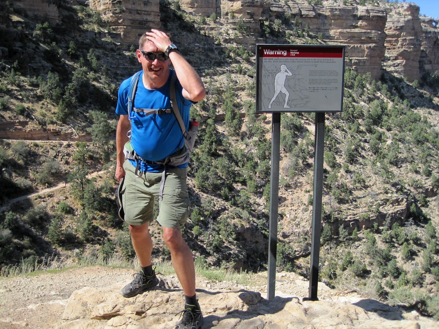
My best impersonation of a pregnant women.
Not sure what was going on with my shirt, but the Italian folks taking the
picture weren't any help.
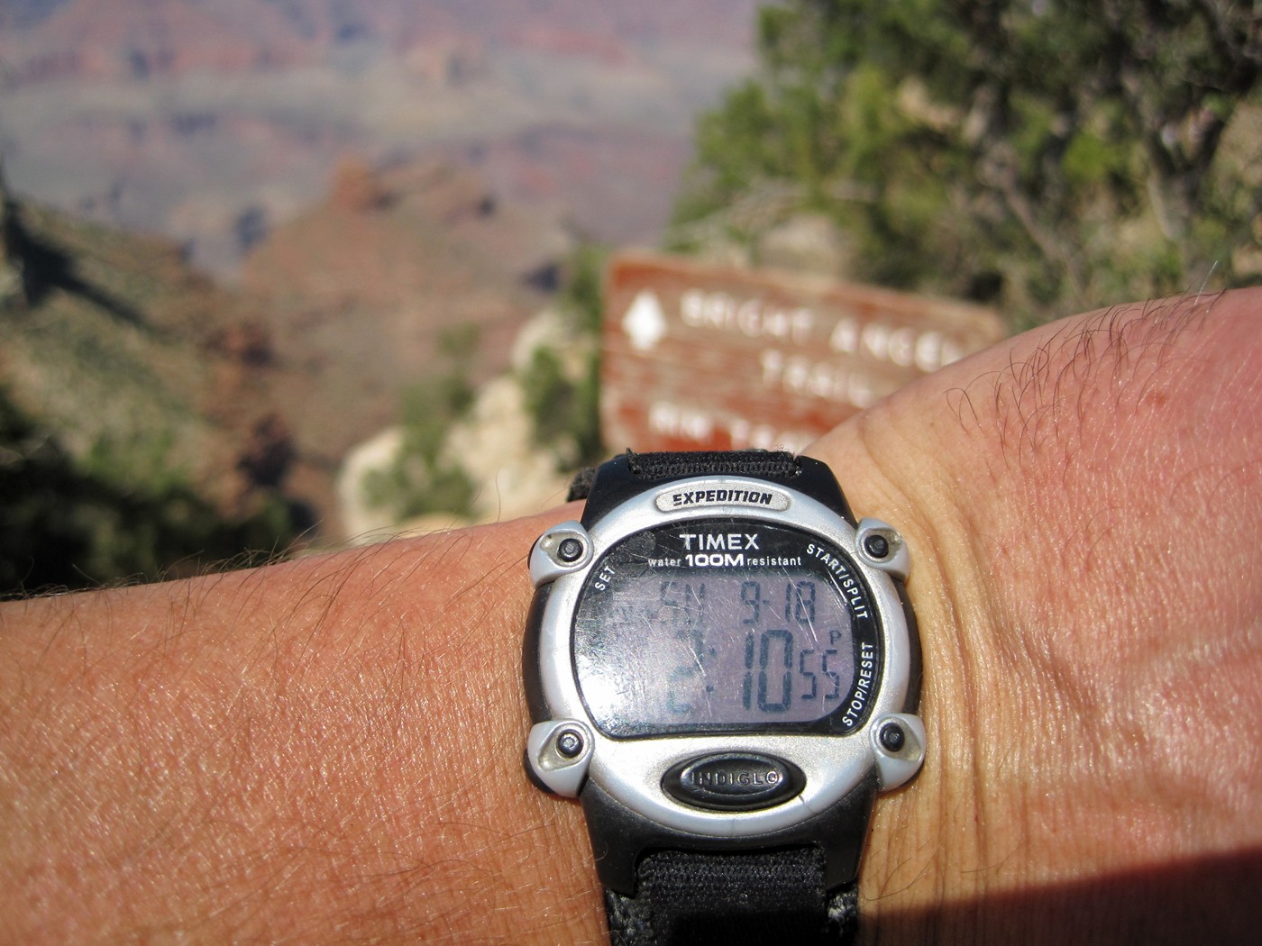
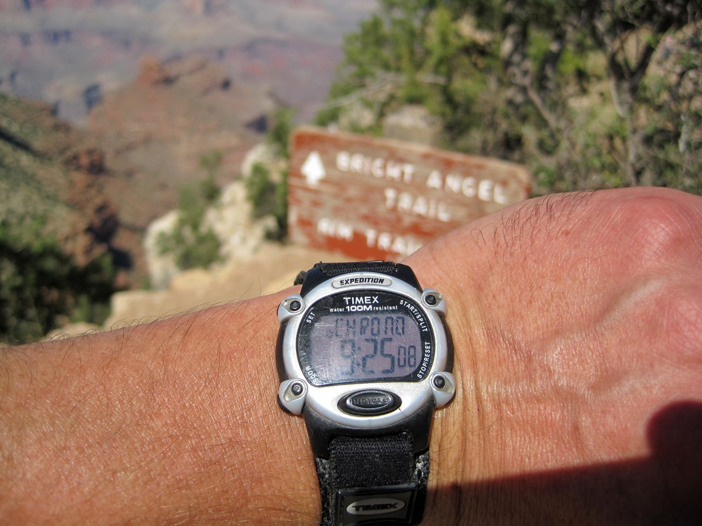
| I made it! Finished the hike back to the South Rim Trailhead via Bright Angel trail at 2:10pm, elapsed time 9 hours and 45 minutes. |
| Monday - One last look at the weekend's work and we headed back to Phoenix. |
It looks like a straight shot for here.
Indian Garden zoomed.
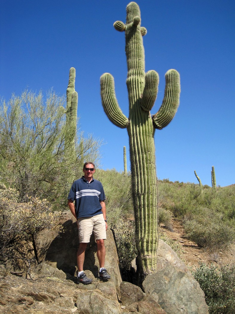
| Bumblebee exit off of I-17 offers a great opportunity to get some photos. |
If you made it this far, you are a nut for wasting so
much time on the Internet. All 900+ photos in original 10MP size can be
found at:
http://album.rothfam.com/cgi-bin/album.pl?album=Grand%20Canyon%202011