Soapstone Prairie Natural Area - November 8, 2009 - click pictures to enlarge
This Fort Collins natural area is 25 miles north of Fort Collins, close to the Wyoming border. The overall area is 28 square miles.
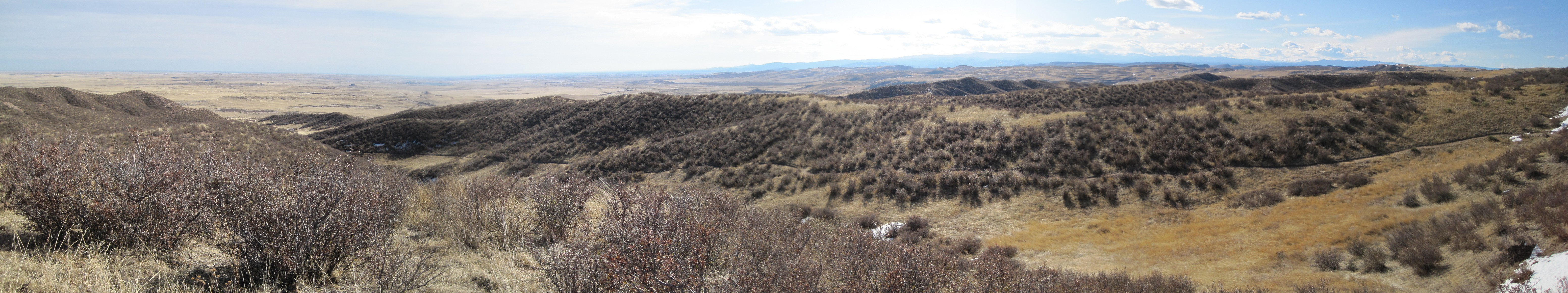
We hiked 5 miles on hiking only trails. The overall area is 28 square miles. From the main parking area, we hiked up to the top of the bluff.
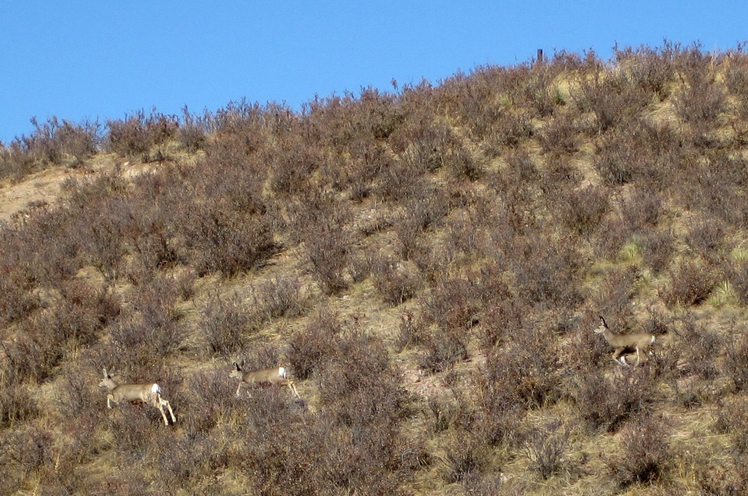
We were the only hikers on the trail, I think there were only a handful of cars in the parking lot. We spooked some deer.
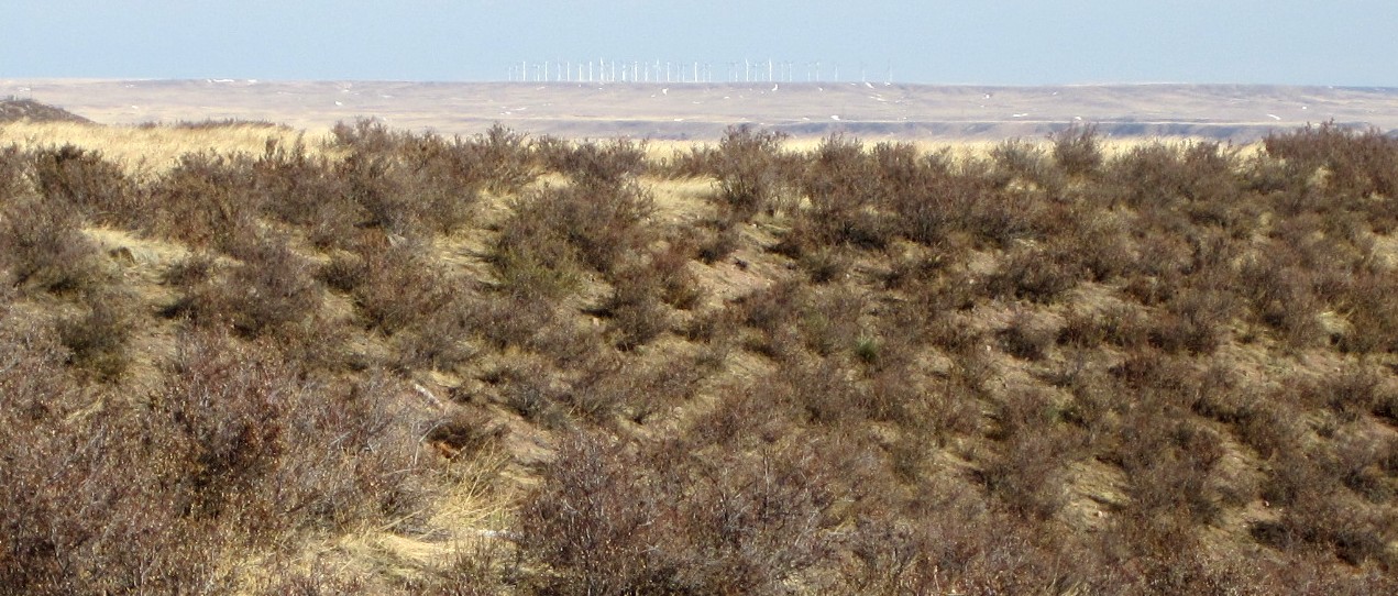
At the top of the bluff, looking east is the wind farm in the distance.
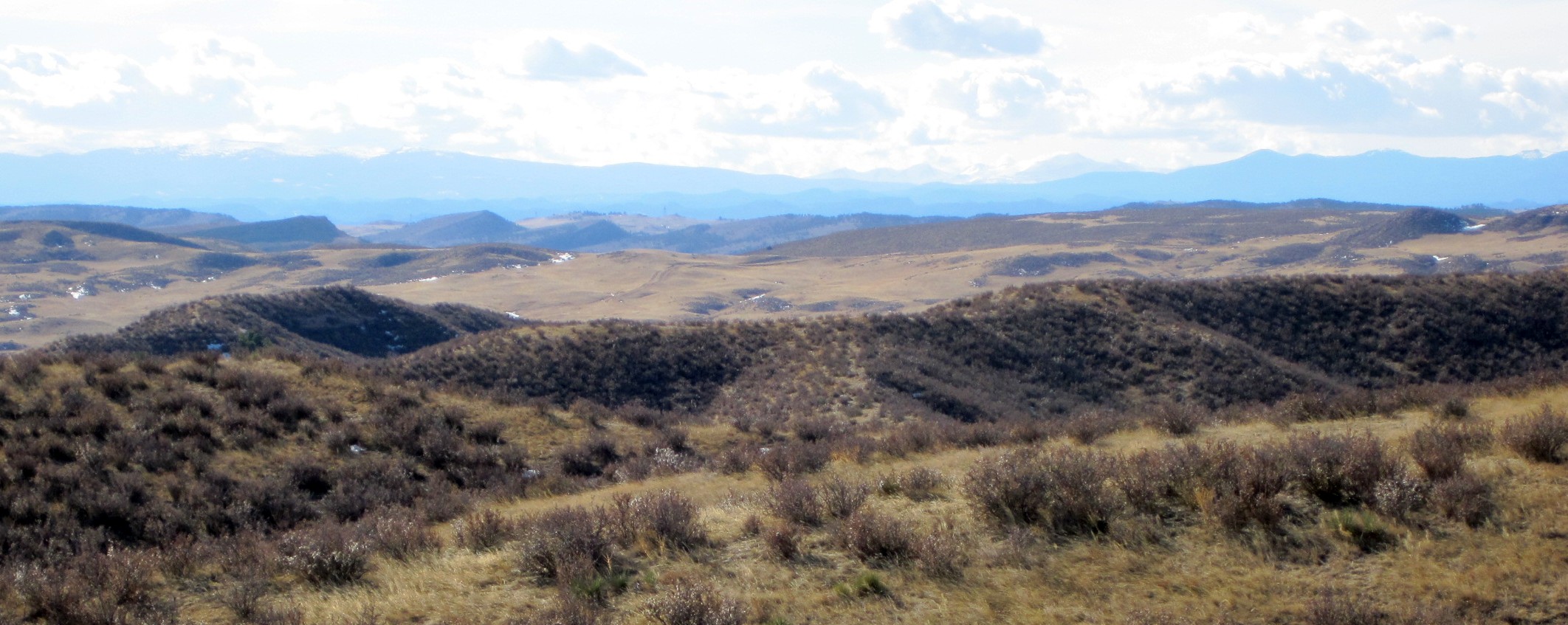
To the west, the Mummy range, hoping to hike the Mummy Range in 2010.
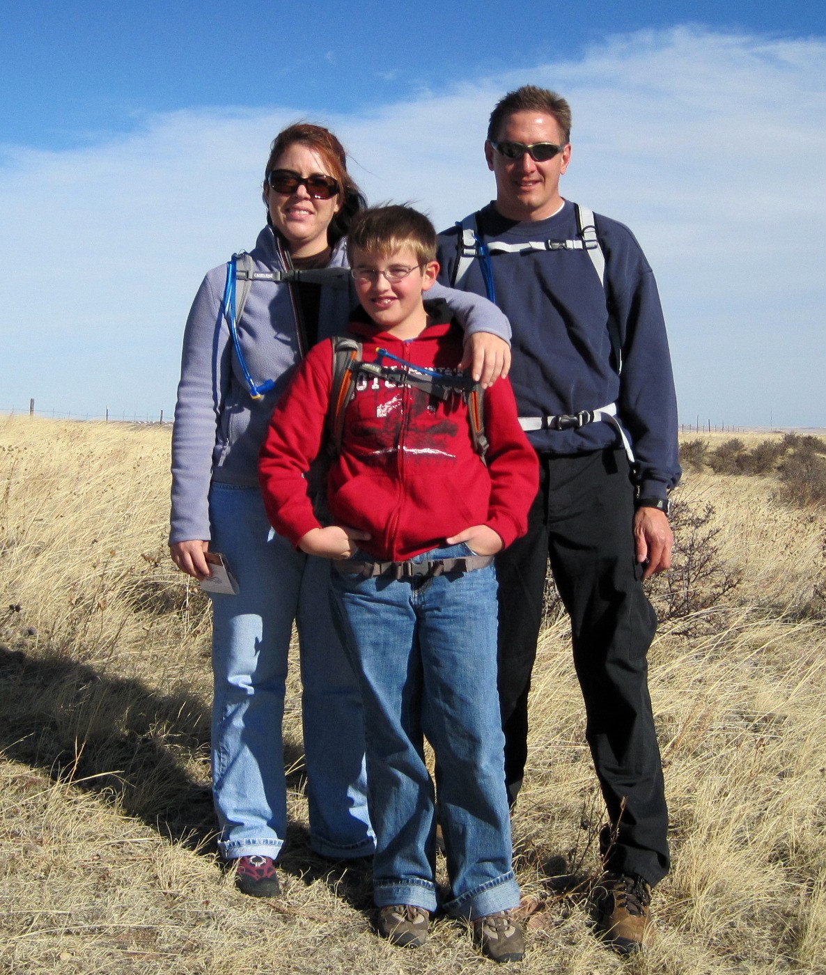
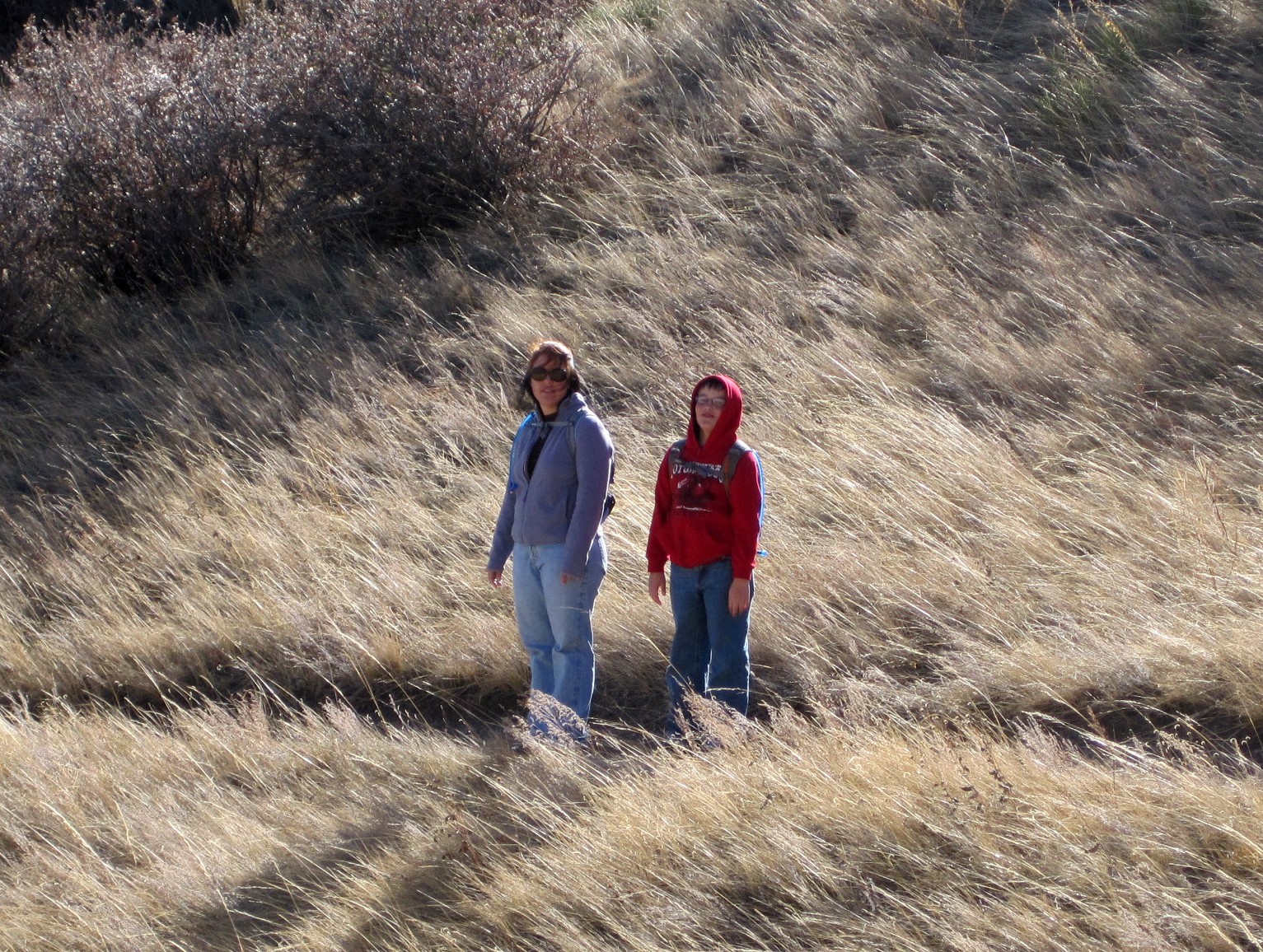
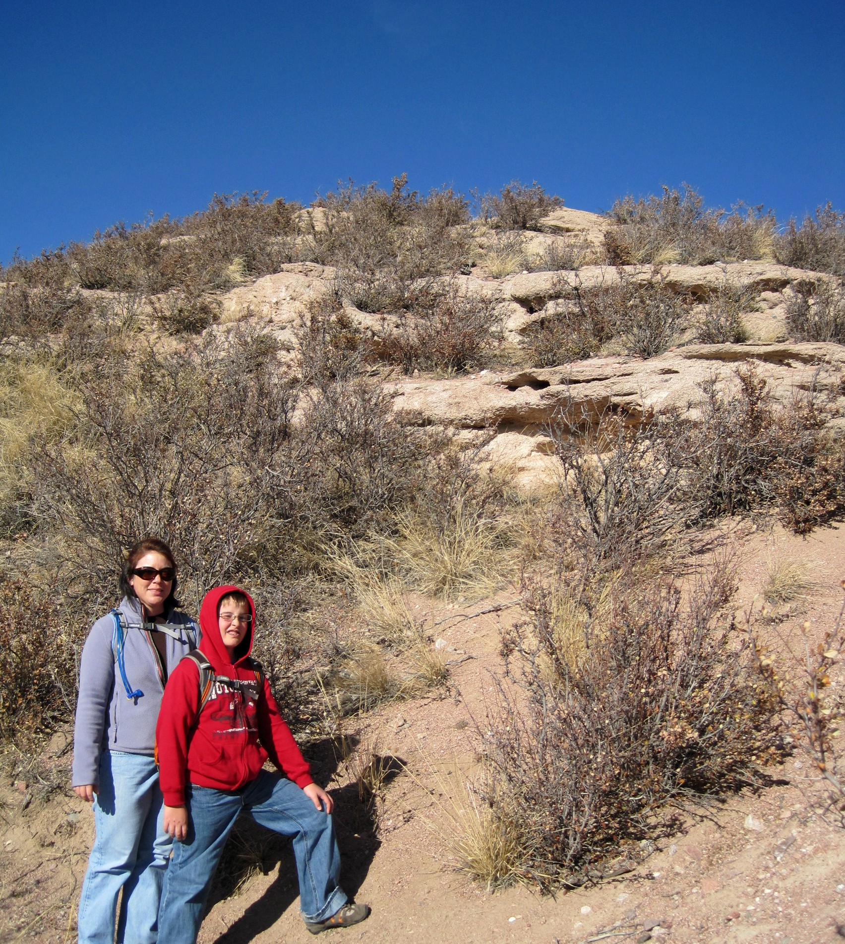
The hikers:
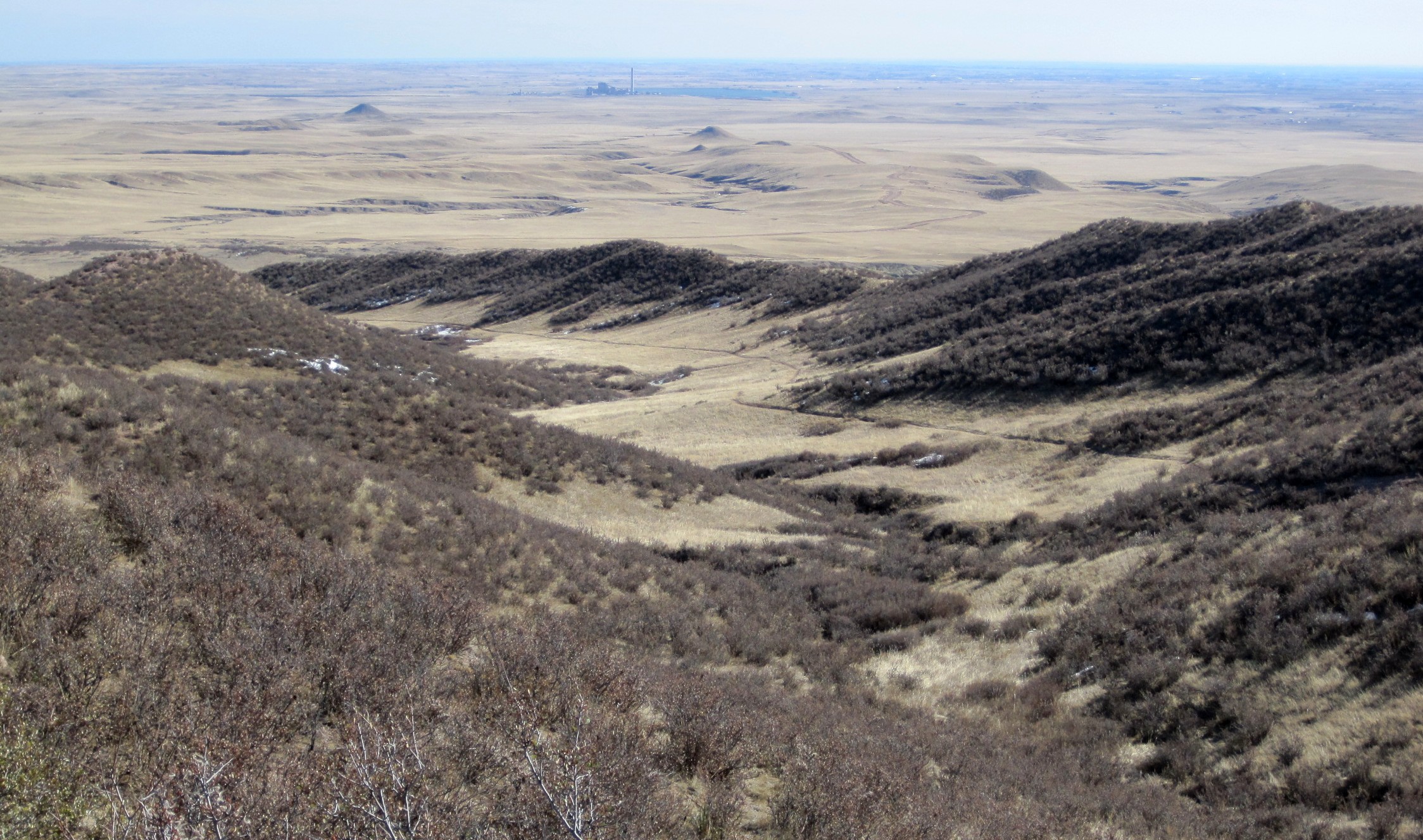
Southeast view; AWESOME! You can see the curvature of the earth :) , but can also see the Rawhide power plant :( .
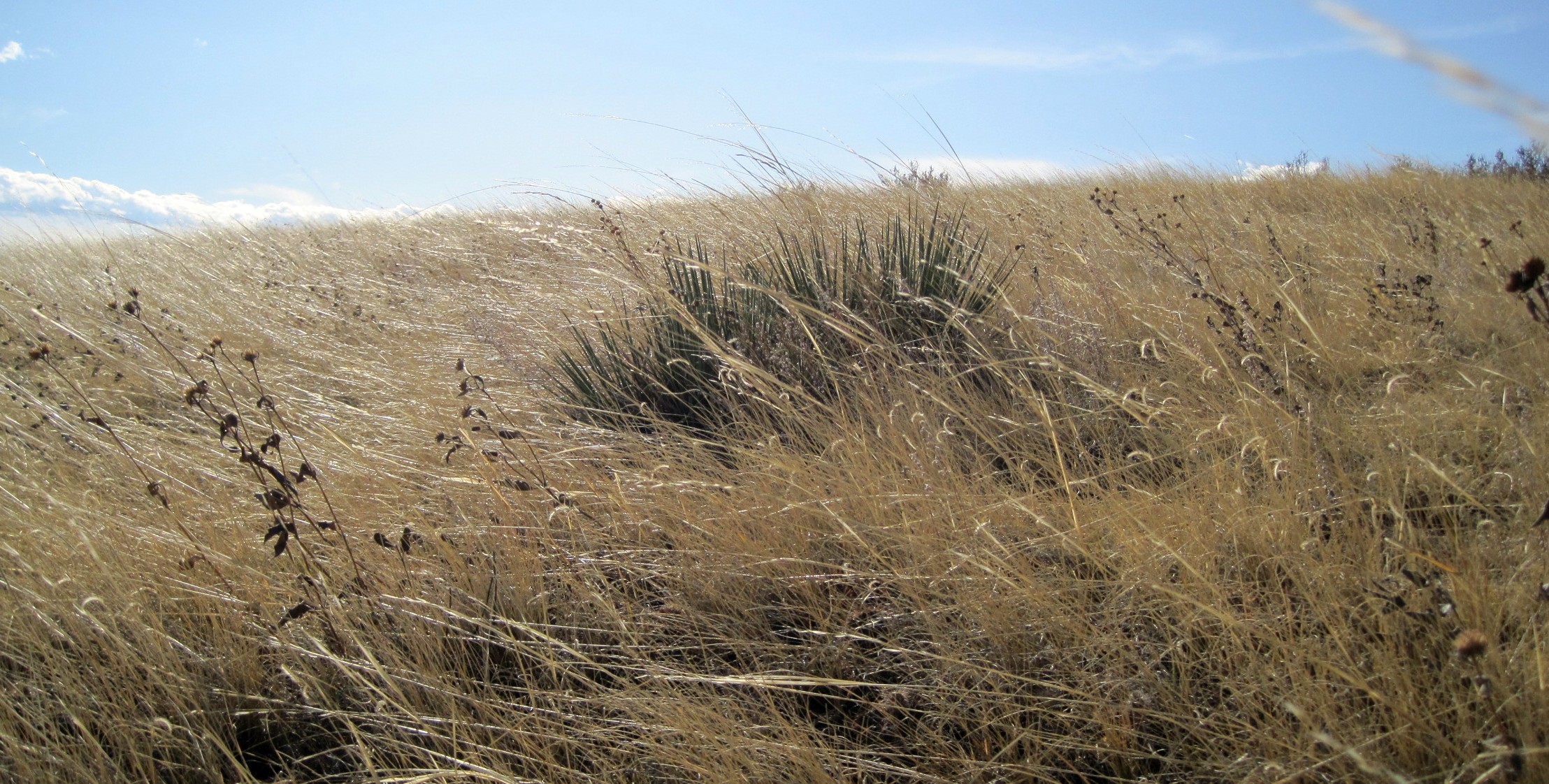
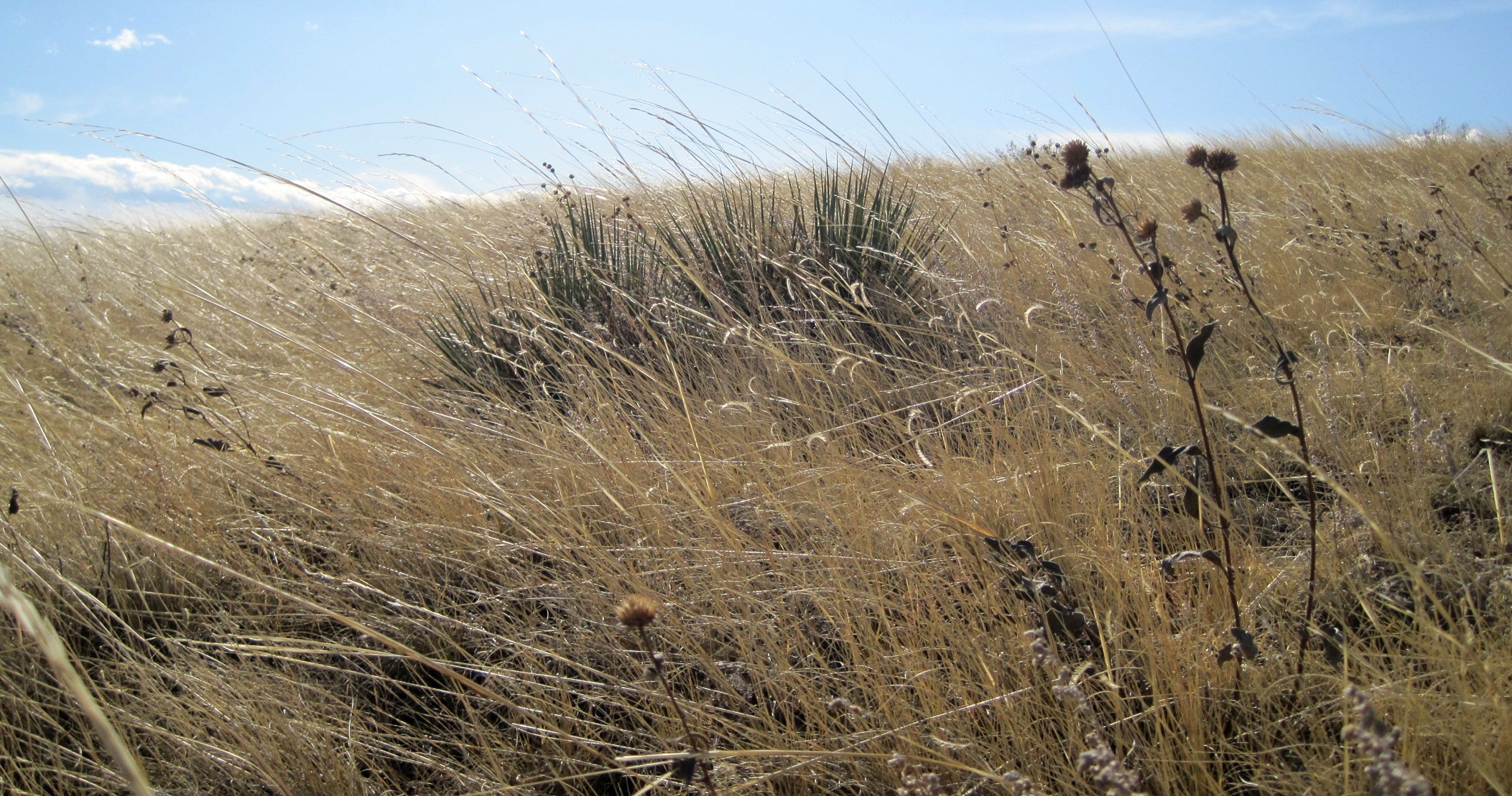
Messing around with the plant life.
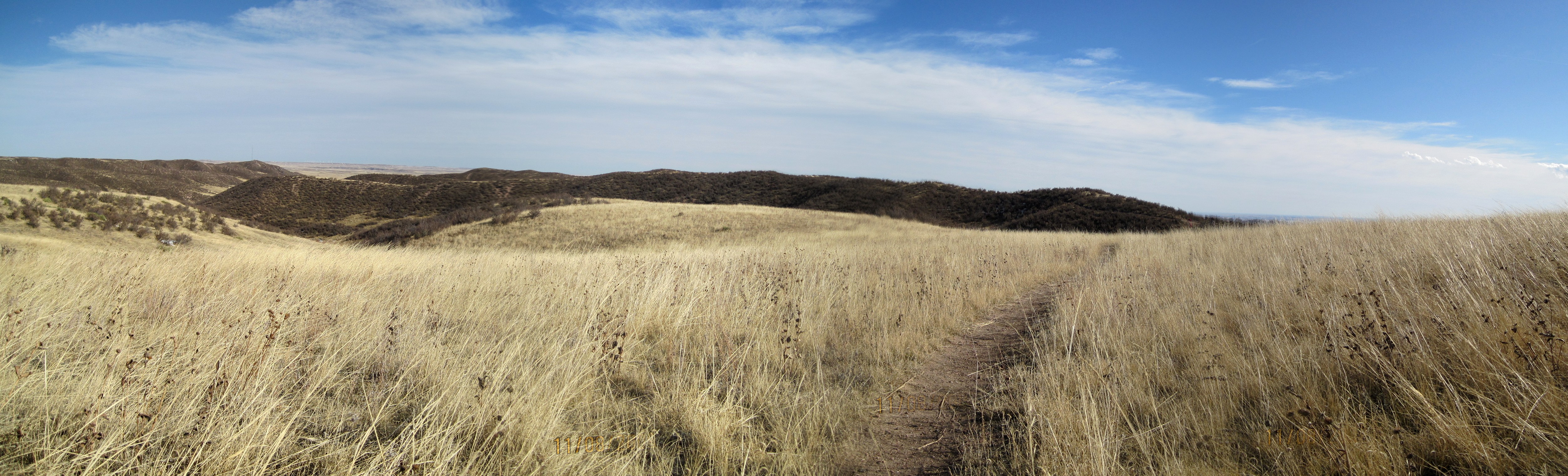
Off of the top of the bluff, the wind was easier to handle.
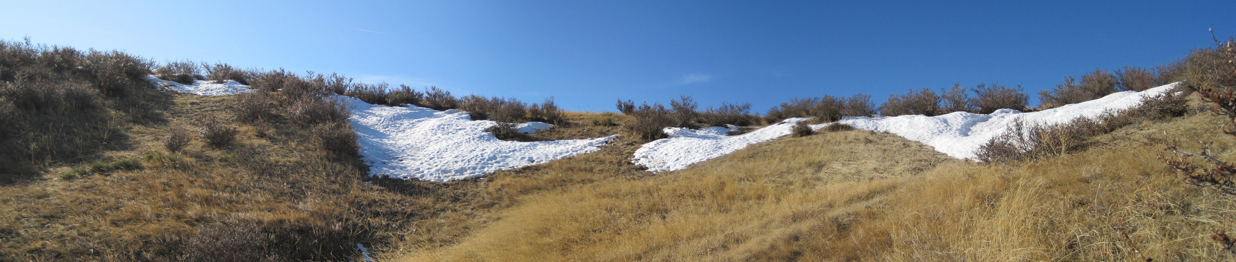
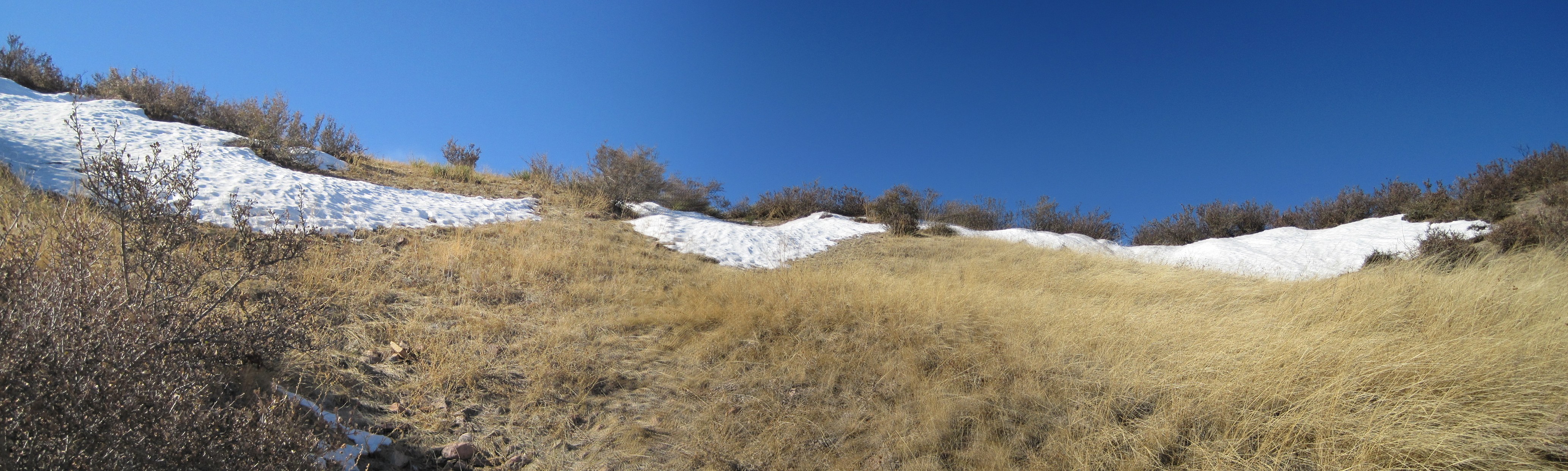
The remains of two October snow storms.
Two hikers happy to be out of the wind!
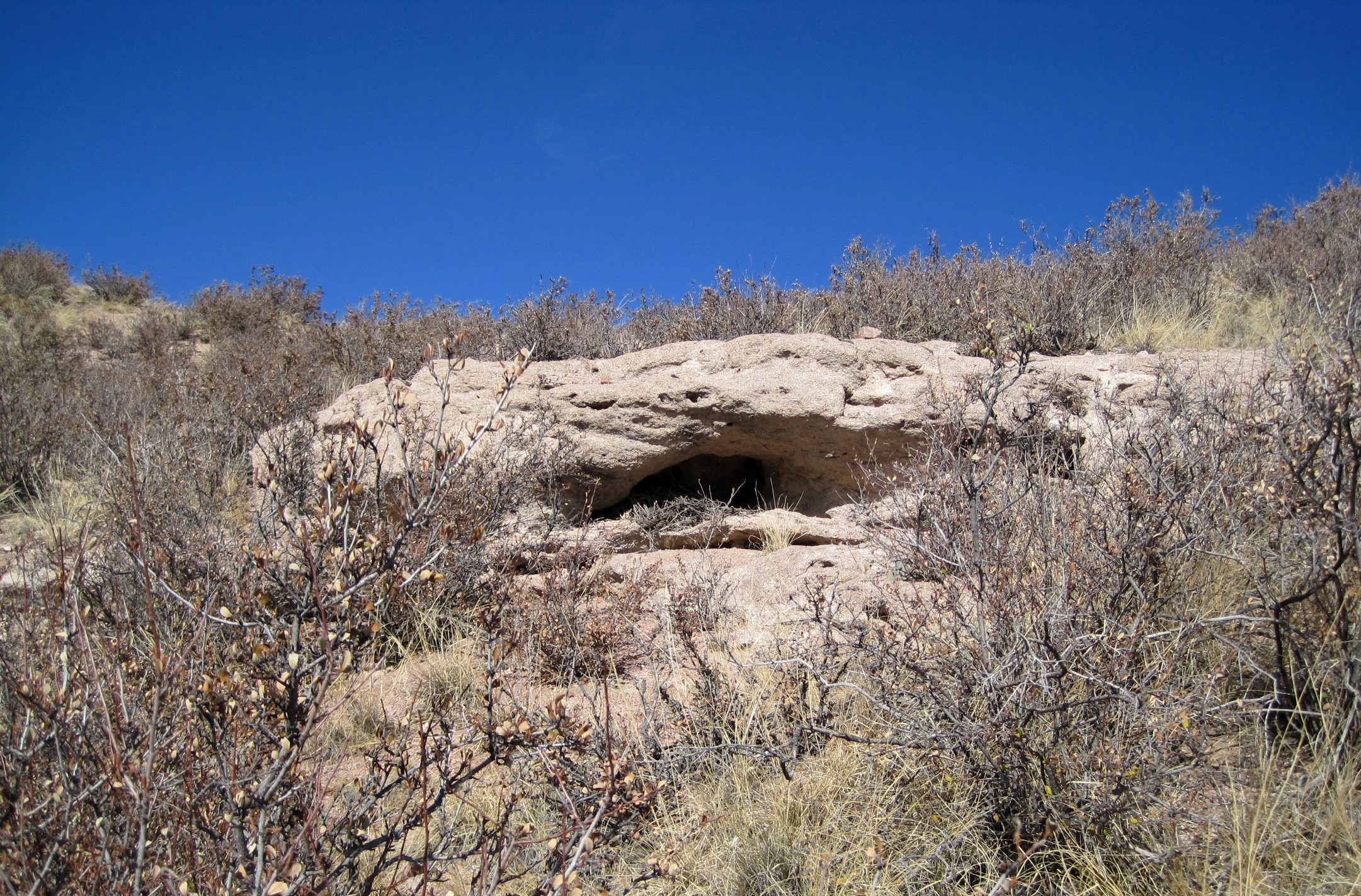
Rollin's new room if he doesn't keep his room clean.